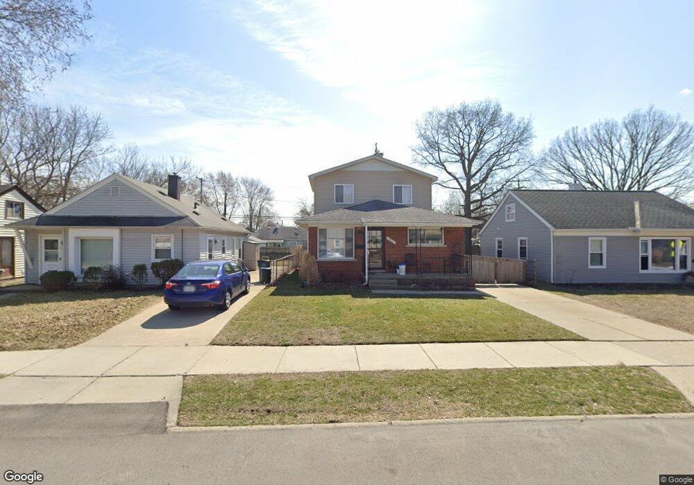
1920 Browning St Ferndale, MI 48220
Estimated Value: $284,000 - $286,000
4
Beds
3
Baths
1,351
Sq Ft
$211/Sq Ft
Est. Value
About This Home
This home is located at 1920 Browning St, Ferndale, MI 48220 and is currently estimated at $284,996, approximately $210 per square foot. 1920 Browning St is a home located in Oakland County with nearby schools including Hazel Park Junior High School and Hazel Park High School.
Ownership History
Date
Name
Owned For
Owner Type
Purchase Details
Closed on
Apr 3, 2003
Sold by
Clayton Jeffrey A and Clayton Andrea K
Bought by
Clayton Jeffrey A and Clayton Andrea K
Current Estimated Value
Create a Home Valuation Report for This Property
The Home Valuation Report is an in-depth analysis detailing your home's value as well as a comparison with similar homes in the area
Home Values in the Area
Average Home Value in this Area
Purchase History
| Date | Buyer | Sale Price | Title Company |
|---|---|---|---|
| Clayton Jeffrey A | -- | Progressive Title Ins Agency |
Source: Public Records
Tax History
| Year | Tax Paid | Tax Assessment Tax Assessment Total Assessment is a certain percentage of the fair market value that is determined by local assessors to be the total taxable value of land and additions on the property. | Land | Improvement |
|---|---|---|---|---|
| 2025 | $3,015 | $131,390 | $0 | $0 |
| 2024 | $2,907 | $131,360 | $0 | $0 |
| 2023 | $3,065 | $118,100 | $0 | $0 |
| 2022 | $3,053 | $102,630 | $0 | $0 |
| 2021 | $3,058 | $101,520 | $0 | $0 |
| 2020 | $2,919 | $96,710 | $0 | $0 |
| 2019 | $2,952 | $81,490 | $0 | $0 |
| 2018 | $2,907 | $75,510 | $0 | $0 |
| 2017 | $2,866 | $74,810 | $0 | $0 |
| 2016 | $2,830 | $71,980 | $0 | $0 |
| 2015 | -- | $61,230 | $0 | $0 |
| 2014 | -- | $47,920 | $0 | $0 |
| 2011 | -- | $54,690 | $0 | $0 |
Source: Public Records
Map
Nearby Homes
- 1851 Moorhouse St
- 2140 Garfield St
- 2636 Harris St
- 1489 Woodward Heights
- 2298 Browning St
- 1469 Browning St
- 2411 Harris St
- 3191 Harris St
- 2260 Brickley St
- 3221 Harris St
- 2105 Manatee Ave
- 2157 Symes St
- 3050 Grayson St
- 2128 Romeo St
- 2146 Martin Rd
- 2944 Wolcott St
- 3311 Goodrich St
- 1986 Leitch Rd
- 2217 E 10 Mile Rd
- 1971 Leitch Rd
- 1930 Browning St
- 1902 Browning St
- 1944 Browning St
- 1931 Moorhouse St
- 1921 Moorhouse St
- 1945 Moorhouse St
- 0 Browning St
- 1870 Browning St
- 1880 Browning St
- 1970 Browning St
- 1959 Moorhouse St
- 1903 Browning St
- 1931 Browning St
- 1971 Moorhouse St
- 1919 Browning St
- 1945 Browning St
- 1984 Browning St
- 1959 Browning St Unit Bldg-Unit
- 1959 Browning St
- 2000 Browning St
Your Personal Tour Guide
Ask me questions while you tour the home.