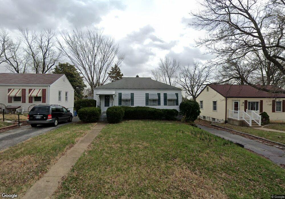
1920 Bryant Ave Saint Louis, MO 63114
Estimated Value: $115,751 - $134,000
2
Beds
1
Bath
816
Sq Ft
$154/Sq Ft
Est. Value
About This Home
This home is located at 1920 Bryant Ave, Saint Louis, MO 63114 and is currently estimated at $125,688, approximately $154 per square foot. 1920 Bryant Ave is a home located in St. Louis County with nearby schools including Iveland Elementary School, Hoech Middle School, and Ritenour Senior High School.
Ownership History
Date
Name
Owned For
Owner Type
Purchase Details
Closed on
Dec 4, 2013
Sold by
Snider Kenneth L and Wilson Kathy
Bought by
Snider Brian
Current Estimated Value
Purchase Details
Closed on
Jul 22, 2013
Sold by
Snider Ruth and Snider Kenneth L
Bought by
Wilson Kathy
Purchase Details
Closed on
Oct 30, 1998
Sold by
Snider Ruth
Bought by
Snider Kenneth and Wilson Kathryn Snider
Create a Home Valuation Report for This Property
The Home Valuation Report is an in-depth analysis detailing your home's value as well as a comparison with similar homes in the area
Home Values in the Area
Average Home Value in this Area
Purchase History
| Date | Buyer | Sale Price | Title Company |
|---|---|---|---|
| Snider Brian | $18,000 | None Available | |
| Wilson Kathy | $12,000 | None Available | |
| Snider Kenneth | -- | -- |
Source: Public Records
Tax History Compared to Growth
Tax History
| Year | Tax Paid | Tax Assessment Tax Assessment Total Assessment is a certain percentage of the fair market value that is determined by local assessors to be the total taxable value of land and additions on the property. | Land | Improvement |
|---|---|---|---|---|
| 2025 | $1,574 | $25,380 | $6,780 | $18,600 |
| 2024 | $1,574 | $18,300 | $3,100 | $15,200 |
| 2023 | $1,574 | $18,300 | $3,100 | $15,200 |
| 2022 | $1,361 | $14,160 | $2,720 | $11,440 |
| 2021 | $1,361 | $14,160 | $2,720 | $11,440 |
| 2020 | $1,473 | $14,160 | $3,100 | $11,060 |
| 2019 | $1,458 | $14,160 | $3,100 | $11,060 |
| 2018 | $1,479 | $12,940 | $2,720 | $10,220 |
| 2017 | $1,411 | $12,940 | $2,720 | $10,220 |
| 2016 | $1,102 | $10,240 | $3,100 | $7,140 |
| 2015 | $1,126 | $10,240 | $3,100 | $7,140 |
| 2014 | $1,147 | $10,610 | $1,600 | $9,010 |
Source: Public Records
Map
Nearby Homes
- 10110 Lackland Rd
- 10040 Driver Ave
- 10222 Driver Ave
- 9833 Eastbrook Dr
- 1735 O Connell Ave
- 2106 Lackland Rd
- 9816 Lullaby Ln
- 9913 Zykan Ct
- 10107 Niblic Dr
- 10111 Niblic Dr
- 9906 Zykan Ct
- 10310 Lackland Rd
- 9833 Zykan Dr
- 9825 Zykan Dr
- 10301 Niblic Dr
- 9705 Miriam Ave
- 1481 Werremeyer Place
- 10490 Canter Way
- 9617 Cote Brilliante Ave
- 2228 Spencer Ave
- 1924 Bryant Ave
- 1916 Bryant Ave
- 1912 Bryant Ave
- 1928 Bryant Ave
- 1919 Clare Ct
- 1923 Clare Ct
- 1915 Clare Ct
- 1908 Bryant Ave
- 1911 Clare Ct
- 1927 Clare Ct
- 1932 Bryant Ave
- 1923 Bryant Ave
- 1919 Bryant Ave
- 1927 Bryant Ave
- 1907 Clare Ct
- 1915 Bryant Ave
- 1931 Bryant Ave
- 1931 Clare Ct
- 1900 Bryant Ave
- 1911 Bryant Ave