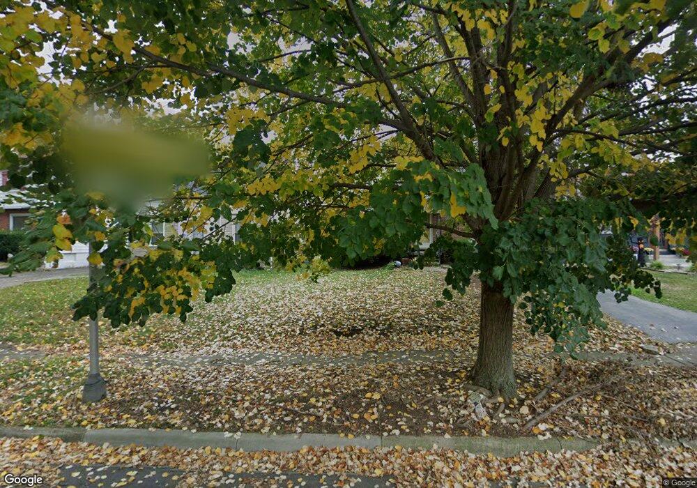
1920 Denbridge Way Columbus, OH 43219
Eastgate NeighborhoodEstimated Value: $194,000 - $277,000
3
Beds
1
Bath
1,272
Sq Ft
$179/Sq Ft
Est. Value
About This Home
This home is located at 1920 Denbridge Way, Columbus, OH 43219 and is currently estimated at $227,619, approximately $178 per square foot. 1920 Denbridge Way is a home located in Franklin County with nearby schools including Eastgate Elementary School, Champion Middle School, and East High School.
Ownership History
Date
Name
Owned For
Owner Type
Purchase Details
Closed on
Oct 9, 2020
Sold by
Brown Marilyn B and Estate Of Myrtle E Williams
Bought by
Mayo Mark E and Mayo Lyndia
Current Estimated Value
Purchase Details
Closed on
Apr 7, 1988
Bought by
Williams Myrtle
Purchase Details
Closed on
Apr 1, 1984
Create a Home Valuation Report for This Property
The Home Valuation Report is an in-depth analysis detailing your home's value as well as a comparison with similar homes in the area
Home Values in the Area
Average Home Value in this Area
Purchase History
| Date | Buyer | Sale Price | Title Company |
|---|---|---|---|
| Mayo Mark E | $110,000 | Transcounty Title Agency Llc | |
| Williams Myrtle | -- | -- | |
| -- | -- | -- |
Source: Public Records
Tax History
| Year | Tax Paid | Tax Assessment Tax Assessment Total Assessment is a certain percentage of the fair market value that is determined by local assessors to be the total taxable value of land and additions on the property. | Land | Improvement |
|---|---|---|---|---|
| 2025 | $3,030 | $66,120 | $20,230 | $45,890 |
| 2024 | $3,030 | $66,120 | $20,230 | $45,890 |
| 2023 | $2,992 | $66,115 | $20,230 | $45,885 |
| 2022 | $2,447 | $30,210 | $6,580 | $23,630 |
| 2021 | $1,683 | $30,210 | $6,580 | $23,630 |
| 2020 | $1,775 | $30,210 | $6,580 | $23,630 |
| 2019 | $1,709 | $25,070 | $5,500 | $19,570 |
| 2018 | $1,004 | $25,070 | $5,500 | $19,570 |
| 2017 | $1,056 | $25,070 | $5,500 | $19,570 |
| 2016 | $1,123 | $25,700 | $6,130 | $19,570 |
| 2015 | $1,019 | $25,700 | $6,130 | $19,570 |
| 2014 | $1,022 | $25,700 | $6,130 | $19,570 |
| 2013 | $543 | $27,020 | $6,440 | $20,580 |
Source: Public Records
Map
Nearby Homes
- 291 Sherborne Dr
- 1994 Stratford Way
- 1622 Clifton Ave
- 449 Woodland Ave
- 1634-1636 Greenway Ave
- 220 Parkwood Ave Unit 222
- 54 Woodland Ave
- 1670 E Broad St Unit 206
- 1577 Richmond Ave
- 1575 Granville St
- 1562 Richmond Ave
- 57 Preston Rd
- 1598 Harvard Ave
- 1458 Harvard Ave
- 0 Harvard Ave
- 1620 E Broad St Unit 608
- 1620 E Broad St Unit 606
- 280 Taylor Ave
- 330 Taylor Ave
- 304 Johnson St
- 1924 Denbridge Way
- 1918 Denbridge Way
- 1916 Denbridge Way
- 1928 Denbridge Way
- 1914 Denbridge Way
- 1953 Ardenrun Way
- 1949 Ardenrun Way
- 225 Sherborne Dr
- 233 Sherborne Dr
- 1945 Ardenrun Way
- 219 Sherborne Dr
- 1915 Denbridge Way
- 1917 Denbridge Way
- 1911 Denbridge Way
- 1923 Greenway Ave N
- 1919 Denbridge Way
- 1959 Ardenrun Way
- 1909 Denbridge Way
- 1921 Denbridge Way
- 1915 Greenway Ave N
