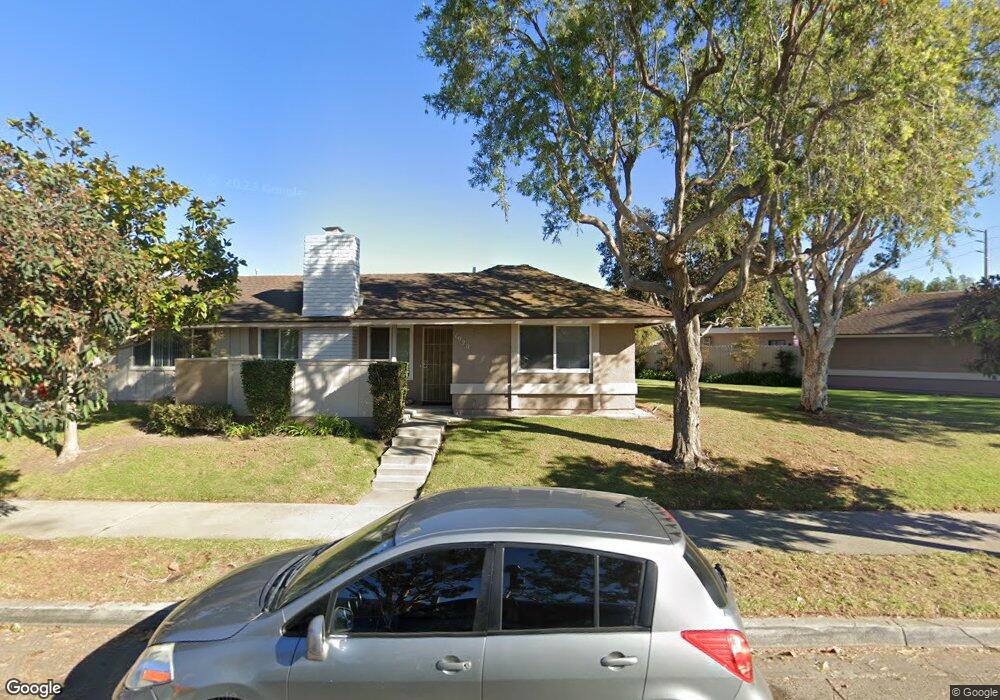
1920 Fisher Dr Oxnard, CA 93035
Via Marina NeighborhoodEstimated Value: $706,286 - $789,000
4
Beds
2
Baths
1,770
Sq Ft
$424/Sq Ft
Est. Value
About This Home
This home is located at 1920 Fisher Dr, Oxnard, CA 93035 and is currently estimated at $751,072, approximately $424 per square foot. 1920 Fisher Dr is a home located in Ventura County with nearby schools including Christa Mcauliffe Elementary School and Oxnard High School.
Ownership History
Date
Name
Owned For
Owner Type
Purchase Details
Closed on
May 16, 2000
Sold by
Levell James R and Levell James E
Bought by
Lopez Rebecca L
Current Estimated Value
Home Financials for this Owner
Home Financials are based on the most recent Mortgage that was taken out on this home.
Original Mortgage
$178,426
Outstanding Balance
$63,992
Interest Rate
8.67%
Mortgage Type
FHA
Estimated Equity
$687,080
Create a Home Valuation Report for This Property
The Home Valuation Report is an in-depth analysis detailing your home's value as well as a comparison with similar homes in the area
Home Values in the Area
Average Home Value in this Area
Purchase History
| Date | Buyer | Sale Price | Title Company |
|---|---|---|---|
| Lopez Rebecca L | $180,000 | Chicago Title Co |
Source: Public Records
Mortgage History
| Date | Status | Borrower | Loan Amount |
|---|---|---|---|
| Open | Lopez Rebecca L | $178,426 |
Source: Public Records
Tax History Compared to Growth
Tax History
| Year | Tax Paid | Tax Assessment Tax Assessment Total Assessment is a certain percentage of the fair market value that is determined by local assessors to be the total taxable value of land and additions on the property. | Land | Improvement |
|---|---|---|---|---|
| 2025 | $3,287 | $276,463 | $110,582 | $165,881 |
| 2024 | $3,287 | $271,043 | $108,414 | $162,629 |
| 2023 | $3,166 | $265,729 | $106,288 | $159,441 |
| 2022 | $3,069 | $260,519 | $104,204 | $156,315 |
| 2021 | $3,043 | $255,411 | $102,161 | $153,250 |
| 2020 | $3,099 | $252,794 | $101,114 | $151,680 |
| 2019 | $3,010 | $247,838 | $99,132 | $148,706 |
| 2018 | $2,966 | $242,980 | $97,189 | $145,791 |
| 2017 | $2,815 | $238,217 | $95,284 | $142,933 |
| 2016 | $2,715 | $233,547 | $93,416 | $140,131 |
| 2015 | $2,742 | $230,041 | $92,014 | $138,027 |
| 2014 | $2,711 | $225,536 | $90,212 | $135,324 |
Source: Public Records
Map
Nearby Homes
- 3610 Isle Way
- 701 Halyard St
- 3644 Islander Walk
- 2633 Barnacle Cove
- 2014 Napoli Dr
- 676 Pacific Cove Dr
- 2141 Napoli Dr
- 2230 Monaco Dr
- 3630 Miramar Way
- 3960 W Hemlock St
- 2110 Ravoli Dr
- 1523 Windshore Way
- 469 Corvette St
- 1551 Windshore Way
- 1547 Windshore Way
- 2431 Victoria Ave
- 1541 Windshore Way
- 541 Broderick Way
- 1503 Windshore Way
- 4000 Romany Dr
- 1910 Fisher Dr
- 1930 Fisher Dr
- 1904 Fisher Dr
- 3641 W Hemlock St
- 1900 Fisher Dr
- 3600 Isle Way
- 3620 Isle Way
- 3631 W Hemlock St
- 3630 Isle Way
- 1860 Fisher Dr
- 3621 W Hemlock St
- 1925 Fisher Dr
- 1925 Fisher Dr
- 1925 Fisher Dr Unit C
- 1925 Fisher Dr Unit B
- 1925 Fisher Dr Unit A
- 1925 Fisher Dr Unit D
- 1925 Fisher Dr Unit 7
- 1925 Fisher Dr
- 1925 Fisher Dr