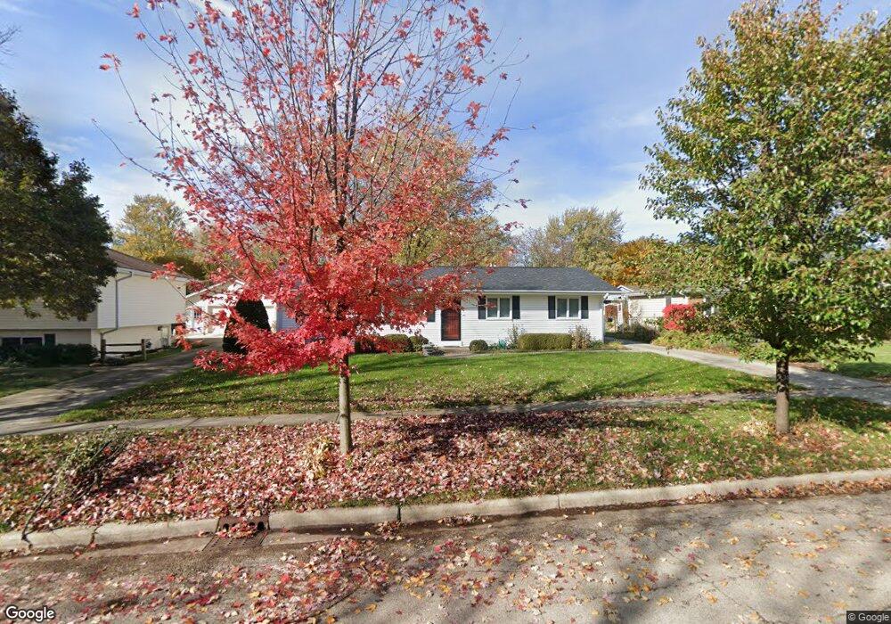
1920 Forrest Blvd Saint Charles, IL 60174
Southeast Saint Charles NeighborhoodEstimated Value: $349,924 - $387,000
3
Beds
1
Bath
1,344
Sq Ft
$269/Sq Ft
Est. Value
About This Home
This home is located at 1920 Forrest Blvd, Saint Charles, IL 60174 and is currently estimated at $361,981, approximately $269 per square foot. 1920 Forrest Blvd is a home located in Kane County with nearby schools including Munhall Elementary School, Wredling Middle School, and St Charles East High School.
Ownership History
Date
Name
Owned For
Owner Type
Purchase Details
Closed on
Mar 21, 2001
Sold by
Ng Raphael
Bought by
Ng Raphael and Chesselow Ng Catherine J
Current Estimated Value
Home Financials for this Owner
Home Financials are based on the most recent Mortgage that was taken out on this home.
Original Mortgage
$73,000
Interest Rate
7.02%
Create a Home Valuation Report for This Property
The Home Valuation Report is an in-depth analysis detailing your home's value as well as a comparison with similar homes in the area
Home Values in the Area
Average Home Value in this Area
Purchase History
| Date | Buyer | Sale Price | Title Company |
|---|---|---|---|
| Ng Raphael | -- | Chicago Title Insurance Co |
Source: Public Records
Mortgage History
| Date | Status | Borrower | Loan Amount |
|---|---|---|---|
| Closed | Ng Raphael | $73,000 | |
| Closed | Ng Raphael | $40,000 |
Source: Public Records
Tax History Compared to Growth
Tax History
| Year | Tax Paid | Tax Assessment Tax Assessment Total Assessment is a certain percentage of the fair market value that is determined by local assessors to be the total taxable value of land and additions on the property. | Land | Improvement |
|---|---|---|---|---|
| 2024 | $3,678 | $100,181 | $30,537 | $69,644 |
| 2023 | $3,966 | $89,663 | $27,331 | $62,332 |
| 2022 | $5,423 | $78,169 | $26,563 | $51,606 |
| 2021 | $4,449 | $74,511 | $25,320 | $49,191 |
| 2020 | $4,490 | $73,122 | $24,848 | $48,274 |
| 2019 | $4,502 | $71,674 | $24,356 | $47,318 |
| 2018 | $4,525 | $69,011 | $23,429 | $45,582 |
| 2017 | $4,990 | $65,552 | $22,628 | $42,924 |
| 2016 | $5,230 | $63,249 | $21,833 | $41,416 |
| 2015 | -- | $60,910 | $21,598 | $39,312 |
| 2014 | -- | $59,203 | $21,598 | $37,605 |
| 2013 | -- | $61,397 | $21,814 | $39,583 |
Source: Public Records
Map
Nearby Homes
- 1529 Rita Ave
- 1439 Walnut Hill Ave
- 1609 Forrest Blvd
- 9 Temple Garden Ct
- 1718 Jeanette Ave
- 1540 Independence Ave
- 1719 S 4th Place
- 1718 Patricia Ln Unit 4
- 1724 Patricia Ln
- 1533 Banbury Ave
- 888 Geneva Dr
- 839 N Bennett St
- 835 N Bennett St
- 680 Chandler Ave
- 662 Nichole Ln
- 1590 Adams Ave
- LOT 209 Austin Ave
- 1623 Delaware Ct Unit 2
- 1572 Dempsey Dr
- 708 S 10th Ave
- 1916 Forrest Blvd
- 1924 Forrest Blvd
- 1921 Pleasant Ave
- 1917 Pleasant Ave
- 1925 Pleasant Ave
- 1928 Forrest Blvd
- 1912 Forrest Blvd
- 1913 Pleasant Ave
- 1921 Forrest Blvd
- 1929 Pleasant Ave
- 1917 Forrest Blvd
- 1925 Forrest Blvd
- 1932 Forrest Blvd
- 1908 Forrest Blvd
- 1913 Forrest Blvd
- 1929 Forrest Blvd
- 1909 Pleasant Ave
- 1933 Pleasant Ave
- 1909 Forrest Blvd
- 1936 Forrest Blvd