1920 Jan Cir Unit 29 Canton, MI 48187
Estimated Value: $212,091 - $234,000
3
Beds
2
Baths
1,218
Sq Ft
$184/Sq Ft
Est. Value
About This Home
This home is located at 1920 Jan Cir Unit 29, Canton, MI 48187 and is currently estimated at $223,523, approximately $183 per square foot. 1920 Jan Cir Unit 29 is a home located in Wayne County with nearby schools including Canton High School, Discovery Middle School, and Salem High School.
Ownership History
Date
Name
Owned For
Owner Type
Purchase Details
Closed on
Oct 27, 2006
Sold by
Mortgage Electronic Registration Systems
Bought by
Lasalle Bank Na and Certificateholders Of Bear Stearns Asset
Current Estimated Value
Purchase Details
Closed on
Oct 4, 2006
Sold by
Florence William R
Bought by
Mortgage Electronic Registration Systems
Purchase Details
Closed on
Sep 15, 1999
Sold by
Hidden Glen Condominium
Bought by
Florence William R
Create a Home Valuation Report for This Property
The Home Valuation Report is an in-depth analysis detailing your home's value as well as a comparison with similar homes in the area
Home Values in the Area
Average Home Value in this Area
Purchase History
| Date | Buyer | Sale Price | Title Company |
|---|---|---|---|
| Lasalle Bank Na | -- | E Title Agency | |
| Mortgage Electronic Registration Systems | $122,000 | None Available | |
| Florence William R | $117,090 | -- |
Source: Public Records
Tax History Compared to Growth
Tax History
| Year | Tax Paid | Tax Assessment Tax Assessment Total Assessment is a certain percentage of the fair market value that is determined by local assessors to be the total taxable value of land and additions on the property. | Land | Improvement |
|---|---|---|---|---|
| 2025 | $672 | $91,500 | $0 | $0 |
| 2024 | $672 | $75,100 | $0 | $0 |
| 2023 | $640 | $63,800 | $0 | $0 |
| 2022 | $1,521 | $59,300 | $0 | $0 |
| 2021 | $1,476 | $59,300 | $0 | $0 |
| 2020 | $1,453 | $57,500 | $0 | $0 |
| 2019 | $1,428 | $54,290 | $0 | $0 |
| 2018 | $544 | $51,610 | $0 | $0 |
| 2017 | $1,560 | $42,900 | $0 | $0 |
| 2016 | $1,309 | $43,500 | $0 | $0 |
| 2015 | $2,991 | $35,350 | $0 | $0 |
| 2013 | $3,146 | $32,690 | $0 | $0 |
| 2010 | -- | $47,590 | $21,000 | $26,590 |
Source: Public Records
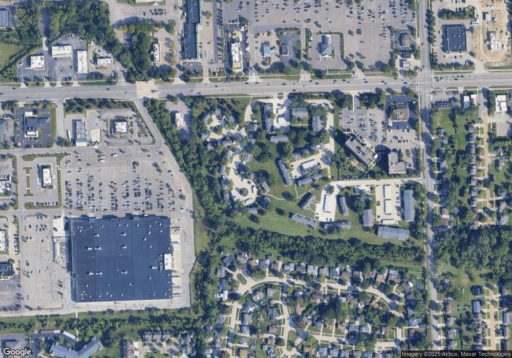
Map
Nearby Homes
- 1945 W Franklin Dr Unit 13
- 44497 Savery Dr Unit 103
- 1710 Longfellow Dr
- 1625 Longfellow Dr
- 1822 N Sheldon Rd
- 0000 Ford
- 44585 Nantucket Dr
- 1584 Commodore Cir Unit 33
- 6171 Gloucester Dr
- 58560 Stuart Dr
- 45762 S Stonewood Rd
- 1796 Oakview Dr
- 45588 S Stonewood Rd
- 1215 Orchid Cir Unit 7
- 45862 S Stonewood Rd Unit 218
- 45678 Aragon Ln
- 50782 Ross St
- 48590 Ford Rd
- 1244 W Crystal Cir
- 43706 Westminister Way
- 1924 Jan Cir
- 1934 W Franklin Dr
- 44543 Savery Drive W Sheldon W
- 1916 Jan Cir Unit 28
- 1948 W Franklin Dr Unit 33
- 1904 Jan Cir
- 1912 Jan Cir
- 1925 W Franklin Dr
- 1933 W Franklin Dr
- 1941 W Franklin Dr Unit 14
- 1917 Jan Cir
- 1917 Jan Cir Unit 20
- 1909 Jan Cir Unit 22
- 1905 Jan Cir
- 1956 W Franklin Dr Unit 35
- 1901 Jan Cir Unit 24
- 1967 Peerce Ct
- 1973 Peerce Ct
- 1965 Peerce Ct Unit 12
- 1979 Peerce Ct