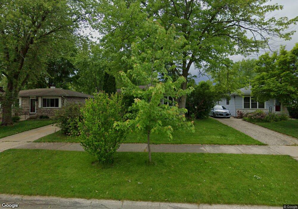
1920 Jethro Ave Zion, IL 60099
Joanna NeighborhoodEstimated Value: $206,729 - $235,000
3
Beds
1
Bath
1,008
Sq Ft
$215/Sq Ft
Est. Value
About This Home
This home is located at 1920 Jethro Ave, Zion, IL 60099 and is currently estimated at $216,682, approximately $214 per square foot. 1920 Jethro Ave is a home located in Lake County with nearby schools including Beulah Park Elementary School, Zion Central Middle School, and Zion-Benton Township High School.
Ownership History
Date
Name
Owned For
Owner Type
Purchase Details
Closed on
May 22, 2001
Sold by
Yellen Sherwyn and Yellen Steven
Bought by
Hernandez Victor and Hernandez Celina
Current Estimated Value
Home Financials for this Owner
Home Financials are based on the most recent Mortgage that was taken out on this home.
Original Mortgage
$94,496
Outstanding Balance
$35,624
Interest Rate
7.16%
Mortgage Type
FHA
Estimated Equity
$181,058
Purchase Details
Closed on
Jan 2, 2001
Sold by
Hedberg Walter M and Chase Mtg Company
Bought by
Yellen Yellen Sherwyn Sherwyn and Yellen Jtwros Steven
Create a Home Valuation Report for This Property
The Home Valuation Report is an in-depth analysis detailing your home's value as well as a comparison with similar homes in the area
Home Values in the Area
Average Home Value in this Area
Purchase History
| Date | Buyer | Sale Price | Title Company |
|---|---|---|---|
| Hernandez Victor | $96,000 | -- | |
| Yellen Yellen Sherwyn Sherwyn | $60,500 | -- |
Source: Public Records
Mortgage History
| Date | Status | Borrower | Loan Amount |
|---|---|---|---|
| Open | Hernandez Victor | $94,496 |
Source: Public Records
Tax History Compared to Growth
Tax History
| Year | Tax Paid | Tax Assessment Tax Assessment Total Assessment is a certain percentage of the fair market value that is determined by local assessors to be the total taxable value of land and additions on the property. | Land | Improvement |
|---|---|---|---|---|
| 2024 | $2,342 | $48,024 | $7,968 | $40,056 |
| 2023 | $3,764 | $42,817 | $7,104 | $35,713 |
| 2022 | $3,764 | $37,332 | $5,848 | $31,484 |
| 2021 | $3,461 | $35,021 | $5,486 | $29,535 |
| 2020 | $3,608 | $32,939 | $5,160 | $27,779 |
| 2019 | $3,386 | $30,684 | $4,807 | $25,877 |
| 2018 | $3,817 | $27,866 | $4,369 | $23,497 |
| 2017 | $3,790 | $25,850 | $4,053 | $21,797 |
| 2016 | $3,487 | $23,466 | $3,679 | $19,787 |
| 2015 | $3,281 | $21,292 | $3,338 | $17,954 |
| 2014 | $3,435 | $22,168 | $3,214 | $18,954 |
| 2012 | $3,693 | $23,608 | $3,423 | $20,185 |
Source: Public Records
Map
Nearby Homes
- 2703 21st St
- 1814 Jethro Ave
- 1817 Joppa Ave
- 2204 Joanna Ave
- 2200 Hermon Ave
- 2212 Horeb Ave
- 2217 Joanna Ave
- 2219 Jethro Ave
- 2210 Hermon Ave
- 2305 Joppa Ave
- 2307 Joanna Ave
- 2313 Joppa Ave
- 2311 Horeb Ave
- 2217 20th St
- 1703 Hermon Ave
- 2019 Gilboa Ave
- 2031 Gilboa Ave
- 1701 Galilee Ave
- 1908 Gideon Ave
- 1718 Gilboa Ave
- 1922 Jethro Ave
- 1918 Jethro Ave
- 1916 Jethro Ave
- 1928 Jethro Ave
- 1914 Jethro Ave
- 1921 Joanna Ave
- 1927 Joanna Ave
- 1912 Jethro Ave
- 1919 Joanna Ave
- 1929 Joanna Ave
- 1919 Jethro Ave
- 1917 Joanna Ave
- 1910 Jethro Ave
- 2716 20th St
- 1915 Joanna Ave
- 1915 Jethro Ave
- 1917 Jethro Ave
- 1908 Jethro Ave
- 1913 Jethro Ave
- 2001 Joanna Ave