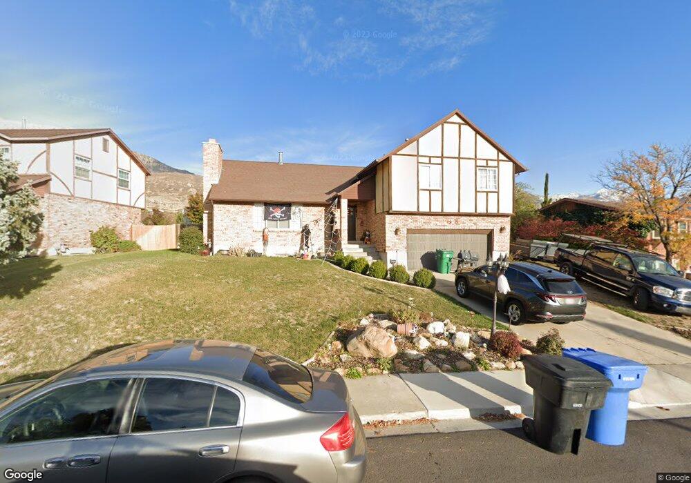
1920 N Main St Orem, UT 84057
Northridge NeighborhoodEstimated Value: $558,000 - $570,000
5
Beds
3
Baths
3,014
Sq Ft
$187/Sq Ft
Est. Value
About This Home
This home is located at 1920 N Main St, Orem, UT 84057 and is currently estimated at $564,939, approximately $187 per square foot. 1920 N Main St is a home located in Utah County with nearby schools including Northridge Elementary School, Oak Canyon Junior High School, and Timpanogos High School.
Ownership History
Date
Name
Owned For
Owner Type
Purchase Details
Closed on
Dec 31, 2012
Sold by
Baker Shaun M and Baker Katie L
Bought by
Baker Shaun M and Baker Katie L
Current Estimated Value
Home Financials for this Owner
Home Financials are based on the most recent Mortgage that was taken out on this home.
Original Mortgage
$206,025
Outstanding Balance
$142,578
Interest Rate
3.27%
Mortgage Type
VA
Estimated Equity
$422,361
Purchase Details
Closed on
Jan 4, 2012
Sold by
Palmer Lawrence A and Palmer Connie J
Bought by
Baker Shaun Michael and Baker Katie Lynn
Home Financials for this Owner
Home Financials are based on the most recent Mortgage that was taken out on this home.
Original Mortgage
$207,364
Interest Rate
3.91%
Mortgage Type
VA
Purchase Details
Closed on
Feb 28, 2001
Sold by
Monty & Bushman Lc
Bought by
Monty & Bushman Lc
Home Financials for this Owner
Home Financials are based on the most recent Mortgage that was taken out on this home.
Original Mortgage
$853,400
Interest Rate
7.12%
Mortgage Type
Construction
Create a Home Valuation Report for This Property
The Home Valuation Report is an in-depth analysis detailing your home's value as well as a comparison with similar homes in the area
Home Values in the Area
Average Home Value in this Area
Purchase History
| Date | Buyer | Sale Price | Title Company |
|---|---|---|---|
| Baker Shaun M | -- | Provo Land Title Co | |
| Baker Shaun Michael | -- | First American American For | |
| Monty & Bushman Lc | -- | Sundance Title Insurance Ag |
Source: Public Records
Mortgage History
| Date | Status | Borrower | Loan Amount |
|---|---|---|---|
| Open | Baker Shaun M | $206,025 | |
| Closed | Baker Shaun Michael | $207,364 | |
| Previous Owner | Monty & Bushman Lc | $853,400 |
Source: Public Records
Tax History
| Year | Tax Paid | Tax Assessment Tax Assessment Total Assessment is a certain percentage of the fair market value that is determined by local assessors to be the total taxable value of land and additions on the property. | Land | Improvement |
|---|---|---|---|---|
| 2025 | $2,267 | $286,935 | -- | -- |
| 2024 | $2,267 | $277,200 | $0 | $0 |
| 2023 | $2,134 | $280,445 | $0 | $0 |
| 2022 | $2,210 | $281,435 | $0 | $0 |
| 2021 | $1,968 | $379,500 | $149,400 | $230,100 |
| 2020 | $1,821 | $345,100 | $119,500 | $225,600 |
| 2019 | $1,646 | $324,500 | $118,500 | $206,000 |
| 2018 | $1,595 | $300,300 | $111,700 | $188,600 |
| 2017 | $1,398 | $141,020 | $0 | $0 |
| 2016 | $1,458 | $135,630 | $0 | $0 |
| 2015 | $1,502 | $132,110 | $0 | $0 |
| 2014 | $1,456 | $127,490 | $0 | $0 |
Source: Public Records
Map
Nearby Homes
- 49 W 1880 N
- 1638 N 160 E
- 1636 N 160 E
- 1744 N 280 W
- 14 N 850 E
- 1547 N 275 West St Unit 5
- 1566 N 275 West St Unit 1
- 1916 N 430 W
- 1548 N 275 West St Unit 2
- 127 S 400 E
- 363 E 1395 N Unit 22
- 120 N 950 E
- 1480 N 430 E
- 110 S 1320 E
- 540 E Quail Rd
- 1051 E 100 N
- 1461 N Amiron Way Unit B
- 1371 N 330 E Unit 8
- 332 W Amiron Way Unit D
- 287 W 1380 N
Your Personal Tour Guide
Ask me questions while you tour the home.