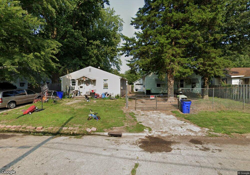
1920 N Van Dyke St Decatur, IL 62526
Neighborhood Empowerment NeighborhoodEstimated Value: $34,531 - $54,000
3
Beds
1
Bath
964
Sq Ft
$47/Sq Ft
Est. Value
About This Home
This home is located at 1920 N Van Dyke St, Decatur, IL 62526 and is currently estimated at $45,133, approximately $46 per square foot. 1920 N Van Dyke St is a home located in Macon County with nearby schools including Stephen Decatur Middle School.
Ownership History
Date
Name
Owned For
Owner Type
Purchase Details
Closed on
Dec 4, 2008
Sold by
Buena Vista National Bank
Bought by
Conlin Ii Paul W
Current Estimated Value
Home Financials for this Owner
Home Financials are based on the most recent Mortgage that was taken out on this home.
Original Mortgage
$33,695
Interest Rate
6.3%
Mortgage Type
New Conventional
Purchase Details
Closed on
Sep 1, 2004
Purchase Details
Closed on
Jun 1, 2000
Create a Home Valuation Report for This Property
The Home Valuation Report is an in-depth analysis detailing your home's value as well as a comparison with similar homes in the area
Home Values in the Area
Average Home Value in this Area
Purchase History
| Date | Buyer | Sale Price | Title Company |
|---|---|---|---|
| Conlin Ii Paul W | $22,500 | None Available | |
| -- | -- | -- | |
| -- | $19,000 | -- |
Source: Public Records
Mortgage History
| Date | Status | Borrower | Loan Amount |
|---|---|---|---|
| Closed | Conlin Ii Paul W | $33,695 |
Source: Public Records
Tax History Compared to Growth
Tax History
| Year | Tax Paid | Tax Assessment Tax Assessment Total Assessment is a certain percentage of the fair market value that is determined by local assessors to be the total taxable value of land and additions on the property. | Land | Improvement |
|---|---|---|---|---|
| 2024 | $559 | $5,771 | $442 | $5,329 |
| 2023 | $554 | $5,566 | $426 | $5,140 |
| 2022 | $522 | $5,103 | $394 | $4,709 |
| 2021 | $490 | $4,766 | $368 | $4,398 |
| 2020 | $411 | $4,544 | $350 | $4,194 |
| 2019 | $411 | $4,544 | $350 | $4,194 |
| 2018 | $0 | $4,872 | $197 | $4,675 |
| 2017 | $0 | $5,002 | $202 | $4,800 |
| 2016 | $0 | $5,053 | $204 | $4,849 |
| 2015 | $411 | $4,947 | $1,339 | $3,608 |
| 2014 | -- | $4,898 | $1,326 | $3,572 |
| 2013 | -- | $5,082 | $1,376 | $3,706 |
Source: Public Records
Map
Nearby Homes
- 1915 N Monroe St
- 1653 N Maple Ave
- 933 W Division St
- 644 W Division St
- 1545 N Monroe St
- 1504 N Monroe St
- 2480 N Graceland Ave
- 230 W Garfield Ave
- 837 W Grand Ave
- 2273 N Fairview Ave
- 1245 N Union St
- 1568 N Main St
- 1558 N Main St
- 1535 N Mcclellan Ave
- 1319 W Waggoner St
- 1530 W Cushing St
- 240 E Olive St
- 1625 W Garfield Ave
- 1607 W Melrose Ct
- 1645 W Center St
- 1912 N Van Dyke St
- 1870 N Van Dyke St
- 1926 N Van Dyke St
- 2012 N Van Dyke St
- 1860 N Van Dyke St
- 1989 N Maple Ave
- 1977 N Maple Ave
- 1999 N Maple Ave
- 1969 N Maple Ave
- 1842 N Van Dyke St
- 1865 N Maple Ave
- 1853 N Maple Ave
- 1995 N Maple Ave
- 1845 N Maple Ave
- 1828 N Van Dyke St
- 2051 N Maple Ave
- 1843 N Maple Ave
- 1841 N Maple Ave
- 1820 N Van Dyke St
- 1970 N Maple Ave