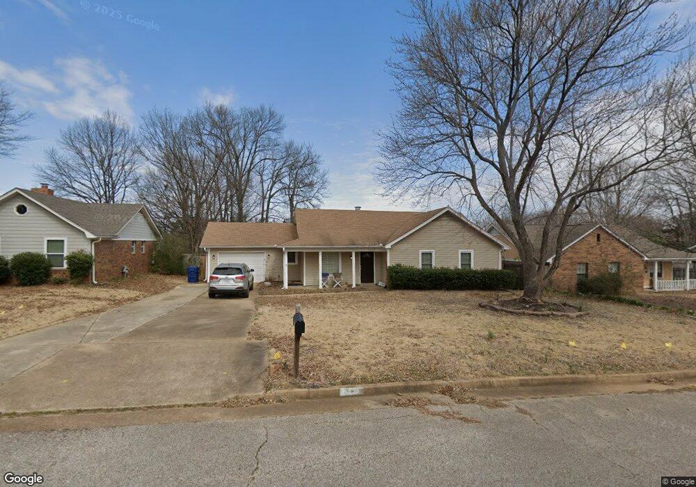
1920 Rapier Dr Horn Lake, MS 38637
Estimated Value: $221,544 - $236,000
3
Beds
2
Baths
1,475
Sq Ft
$157/Sq Ft
Est. Value
About This Home
This home is located at 1920 Rapier Dr, Horn Lake, MS 38637 and is currently estimated at $231,636, approximately $157 per square foot. 1920 Rapier Dr is a home located in DeSoto County with nearby schools including Horn Lake Elementary School, Horn Lake Intermediate School, and Horn Lake Middle School.
Ownership History
Date
Name
Owned For
Owner Type
Purchase Details
Closed on
Dec 16, 2019
Sold by
Adcock Michael C and Parie Christina Adcock
Bought by
Yamasa Co Ltd
Current Estimated Value
Purchase Details
Closed on
Dec 18, 2007
Sold by
Evans Debra L and Evans Rodney
Bought by
Adcock Michael C and Parie Christina M
Home Financials for this Owner
Home Financials are based on the most recent Mortgage that was taken out on this home.
Original Mortgage
$117,131
Interest Rate
6.15%
Mortgage Type
FHA
Create a Home Valuation Report for This Property
The Home Valuation Report is an in-depth analysis detailing your home's value as well as a comparison with similar homes in the area
Home Values in the Area
Average Home Value in this Area
Purchase History
| Date | Buyer | Sale Price | Title Company |
|---|---|---|---|
| Yamasa Co Ltd | -- | Realty Title & Escrow | |
| Adcock Michael C | -- | None Available |
Source: Public Records
Mortgage History
| Date | Status | Borrower | Loan Amount |
|---|---|---|---|
| Previous Owner | Adcock Michael C | $117,131 |
Source: Public Records
Tax History Compared to Growth
Tax History
| Year | Tax Paid | Tax Assessment Tax Assessment Total Assessment is a certain percentage of the fair market value that is determined by local assessors to be the total taxable value of land and additions on the property. | Land | Improvement |
|---|---|---|---|---|
| 2024 | $2,254 | $15,181 | $2,700 | $12,481 |
| 2023 | $2,254 | $15,181 | $0 | $0 |
| 2022 | $2,254 | $15,181 | $2,700 | $12,481 |
| 2021 | $2,254 | $15,181 | $2,700 | $12,481 |
| 2020 | $2,107 | $14,183 | $2,700 | $11,483 |
| 2019 | $1,107 | $9,456 | $1,800 | $7,656 |
| 2017 | $1,072 | $16,550 | $9,175 | $7,375 |
| 2016 | $1,035 | $9,175 | $1,800 | $7,375 |
| 2015 | $1,328 | $16,550 | $9,175 | $7,375 |
| 2014 | $1,035 | $9,175 | $0 | $0 |
| 2013 | $999 | $9,175 | $0 | $0 |
Source: Public Records
Map
Nearby Homes
- 1876 Greeno Dr
- 1939 Ingleside Cove
- 1926 Tissington Dr
- 1784 Thomas St
- 1664 Thomas St
- 1652 Thomas St
- 2065 Tall Tree Dr
- 2095 Tall Tree Dr
- 6275 U S Highway 51
- 5240 Park Place Dr
- 5393 Peppermill Dr
- 5381 Peppermill Dr
- 2515 Bryce Cove
- 1628 Joy Blvd
- 2155 Church Rd
- 4925 Winesap Dr
- 6433 Arbor Lake Dr W
- 2605 Valleybrook Rd
- 6265 Foxbriar Dr
- 5822 Waverly Dr