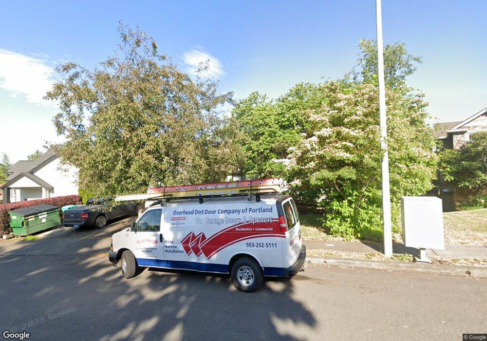
1920 SW Nancy Dr Gresham, OR 97080
Southwest Gresham NeighborhoodEstimated Value: $855,000 - $1,023,876
7
Beds
8
Baths
4,671
Sq Ft
$201/Sq Ft
Est. Value
About This Home
This home is located at 1920 SW Nancy Dr, Gresham, OR 97080 and is currently estimated at $939,438, approximately $201 per square foot. 1920 SW Nancy Dr is a home located in Multnomah County with nearby schools including Butler Creek Elementary School, Centennial Middle School, and Centennial High School.
Ownership History
Date
Name
Owned For
Owner Type
Purchase Details
Closed on
Nov 18, 1998
Sold by
Boros Stefan A
Bought by
Campbell Karen J
Current Estimated Value
Home Financials for this Owner
Home Financials are based on the most recent Mortgage that was taken out on this home.
Original Mortgage
$252,000
Outstanding Balance
$54,887
Interest Rate
6.84%
Mortgage Type
Commercial
Estimated Equity
$884,551
Purchase Details
Closed on
Jun 29, 1995
Sold by
Smith Woodrow
Bought by
Boros Stefan and Boros Stefan A
Create a Home Valuation Report for This Property
The Home Valuation Report is an in-depth analysis detailing your home's value as well as a comparison with similar homes in the area
Home Values in the Area
Average Home Value in this Area
Purchase History
| Date | Buyer | Sale Price | Title Company |
|---|---|---|---|
| Campbell Karen J | $292,000 | First American Title Ins Co | |
| Boros Stefan | $2,130,000 | Fidelity National Title |
Source: Public Records
Mortgage History
| Date | Status | Borrower | Loan Amount |
|---|---|---|---|
| Open | Campbell Karen J | $252,000 |
Source: Public Records
Tax History
| Year | Tax Paid | Tax Assessment Tax Assessment Total Assessment is a certain percentage of the fair market value that is determined by local assessors to be the total taxable value of land and additions on the property. | Land | Improvement |
|---|---|---|---|---|
| 2025 | $10,005 | $528,340 | -- | -- |
| 2024 | $9,583 | $512,960 | -- | -- |
| 2023 | $8,628 | $498,020 | $0 | $0 |
| 2022 | $8,309 | $483,520 | $0 | $0 |
| 2021 | $8,340 | $469,440 | $0 | $0 |
| 2020 | $7,446 | $455,770 | $0 | $0 |
| 2019 | $7,237 | $442,500 | $0 | $0 |
| 2018 | $6,937 | $429,620 | $0 | $0 |
| 2017 | $677 | $417,110 | $0 | $0 |
| 2016 | $6,478 | $404,970 | $0 | $0 |
Source: Public Records
Map
Nearby Homes
- 2263 SW Phyllis Place
- 2092 SW Thomas Place
- 4123 SW 26th Ct
- 4010 SW 13th Ct
- 2652 SW Phyllis Dr
- 3605 SW 25th St
- 2607 SW Pleasant View Dr
- 3010 SW Phyllis Dr
- Oliver Plan at Highlands at Pleasant Valley
- Orion Plan at Highlands at Pleasant Valley
- 17675 SE Mckinley Rd
- 4000 SW 30th Dr
- 4027 SW Mckinley St
- 4051 SW Mckinley St Unit 38
- 4063 SW Mckinley St Unit 35
- 4039 SW Mckinley St
- 3519 SW 28th Terrace
- 4077 SW Mckinley St Unit 37
- 4059 SW Mckinley St Unit 40
- 4055 SW Mckinley St Unit 39
- 4040 SW 19th St
- 1930 SW Nancy Dr
- 1927 SW Giese Place
- 1937 SW Giese Place
- 1960 SW Nancy Dr
- 1915 SW Nancy Dr
- 1955 SW Nancy Dr
- 4017 SW 22nd Dr
- 1812 SW Nancy Dr
- 4011 SW 22nd Dr
- 4029 SW 22nd Dr
- 4029 SW 19th St
- 4003 SW 22nd Dr
- 2010 SW Nancy Dr
- 1936 SW Giese P Superior
- 1936 SW Giese Place
- 4109 SW 19th Ct
- 1926 SW Giese Place
- 4132 SW 19th Ct
- 1800 SW Nancy Dr
