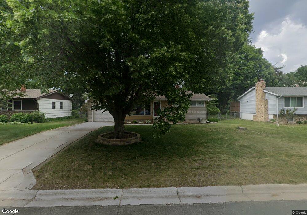
1921 1921 Grant-Road- Arden Hills, MN 55112
Estimated Value: $342,947 - $359,000
3
Beds
1
Bath
878
Sq Ft
$401/Sq Ft
Est. Value
About This Home
This home is located at 1921 1921 Grant-Road-, Arden Hills, MN 55112 and is currently estimated at $351,737, approximately $400 per square foot. 1921 1921 Grant-Road- is a home located in Ramsey County with nearby schools including Valentine Hills Elementary School, Highview Middle School, and Mounds View Senior High School.
Ownership History
Date
Name
Owned For
Owner Type
Purchase Details
Closed on
Dec 29, 2017
Sold by
Munson Misti D
Bought by
Neuburder Mark P and Holmes Bridget S
Current Estimated Value
Home Financials for this Owner
Home Financials are based on the most recent Mortgage that was taken out on this home.
Original Mortgage
$190,040
Outstanding Balance
$160,371
Interest Rate
3.94%
Mortgage Type
New Conventional
Estimated Equity
$191,366
Create a Home Valuation Report for This Property
The Home Valuation Report is an in-depth analysis detailing your home's value as well as a comparison with similar homes in the area
Home Values in the Area
Average Home Value in this Area
Purchase History
| Date | Buyer | Sale Price | Title Company |
|---|---|---|---|
| Neuburder Mark P | $231,490 | Burnet Title |
Source: Public Records
Mortgage History
| Date | Status | Borrower | Loan Amount |
|---|---|---|---|
| Open | Neuburder Mark P | $190,040 |
Source: Public Records
Tax History Compared to Growth
Tax History
| Year | Tax Paid | Tax Assessment Tax Assessment Total Assessment is a certain percentage of the fair market value that is determined by local assessors to be the total taxable value of land and additions on the property. | Land | Improvement |
|---|---|---|---|---|
| 2025 | $3,800 | $319,500 | $88,100 | $231,400 |
| 2023 | $3,800 | $318,800 | $88,100 | $230,700 |
| 2022 | $3,308 | $304,200 | $88,100 | $216,100 |
| 2021 | $3,184 | $254,700 | $88,100 | $166,600 |
| 2020 | $3,150 | $252,500 | $88,100 | $164,400 |
| 2019 | $2,738 | $233,600 | $88,100 | $145,500 |
| 2018 | $3,226 | $218,900 | $88,100 | $130,800 |
| 2017 | $3,070 | $199,000 | $88,100 | $110,900 |
| 2016 | $3,182 | $0 | $0 | $0 |
| 2015 | $2,128 | $177,400 | $88,100 | $89,300 |
| 2014 | $2,196 | $0 | $0 | $0 |
Source: Public Records
Map
Nearby Homes
- 2 New Brighton Rd
- 4 New Brighton Rd
- 3 New Brighton Rd
- 1 New Brighton Rd
- 1932 Glenpaul Ave
- 1960 Glenpaul Ave
- 1688 Chatham Ave
- 3072 Fairview Ave N
- 950 Cessna Dr
- 509 4th Ave NW
- 545 4th Ave NW
- 624 1st Ave NW
- 1802 Lydia Ave W
- 1415 County Road E W
- 1445 Arden Oaks Dr
- 649 Old Highway 8 NW Unit 238
- 649 Old Highway 8 NW Unit 227
- 724 1st Ave NW
- 3430 Glenarden Rd
- 1488 Woodlynn Ave
- 1921 1921 Grant Rd
- 1921 Grant Rd
- 1927 Grant Rd
- 1911 1911 Grant Rd
- 1911 Grant Rd
- 1903 Grant Rd
- 1935 Grant Rd
- 1916 County Road E W
- 1924 County Road E W
- 1910 County Road E W
- 1932 County Road E W
- 1918 1918 Grant Rd
- 1918 Grant Rd
- 1897 Grant Rd
- 1924 Grant Rd
- 1910 Grant Rd
- 1908 County Road E W
- 1906 Grant Rd
- 1936 Grant Rd
- 1886 Grant Rd