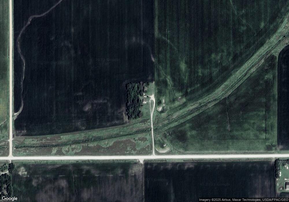
1921 250th St Clarion, IA 50525
Estimated Value: $152,000 - $599,378
3
Beds
2
Baths
1,306
Sq Ft
$243/Sq Ft
Est. Value
About This Home
This home is located at 1921 250th St, Clarion, IA 50525 and is currently estimated at $317,793, approximately $243 per square foot. 1921 250th St is a home located in Wright County with nearby schools including Clarion-Goldfield-Dows Elementary School, Clarion-Goldfield-Dows Middle School, and Clarion-Goldfield-Dows High School.
Ownership History
Date
Name
Owned For
Owner Type
Purchase Details
Closed on
May 8, 2012
Sold by
Watson Timothy M
Bought by
Wanken Dana E
Current Estimated Value
Home Financials for this Owner
Home Financials are based on the most recent Mortgage that was taken out on this home.
Original Mortgage
$300,000
Outstanding Balance
$207,952
Interest Rate
3.91%
Mortgage Type
New Conventional
Estimated Equity
$109,841
Purchase Details
Closed on
Nov 3, 2009
Sold by
Wanken Jessica L
Bought by
Wanken Dana E
Home Financials for this Owner
Home Financials are based on the most recent Mortgage that was taken out on this home.
Original Mortgage
$160,000
Interest Rate
5.11%
Mortgage Type
Future Advance Clause Open End Mortgage
Create a Home Valuation Report for This Property
The Home Valuation Report is an in-depth analysis detailing your home's value as well as a comparison with similar homes in the area
Home Values in the Area
Average Home Value in this Area
Purchase History
| Date | Buyer | Sale Price | Title Company |
|---|---|---|---|
| Wanken Dana E | $447,500 | None Available | |
| Wanken Dana E | -- | None Available |
Source: Public Records
Mortgage History
| Date | Status | Borrower | Loan Amount |
|---|---|---|---|
| Open | Wanken Dana E | $300,000 | |
| Previous Owner | Wanken Dana E | $160,000 |
Source: Public Records
Tax History Compared to Growth
Tax History
| Year | Tax Paid | Tax Assessment Tax Assessment Total Assessment is a certain percentage of the fair market value that is determined by local assessors to be the total taxable value of land and additions on the property. | Land | Improvement |
|---|---|---|---|---|
| 2025 | $1,448 | $135,800 | $51,000 | $84,800 |
| 2024 | $1,448 | $114,600 | $51,000 | $63,600 |
| 2023 | $1,642 | $115,900 | $51,000 | $64,900 |
| 2022 | $1,462 | $111,300 | $51,000 | $60,300 |
| 2021 | $1,462 | $101,000 | $51,000 | $50,000 |
| 2020 | $1,007 | $69,400 | $22,300 | $47,100 |
| 2019 | $688 | $48,000 | $0 | $0 |
| 2018 | $702 | $48,000 | $0 | $0 |
| 2017 | $686 | $48,300 | $0 | $0 |
| 2016 | $662 | $48,300 | $0 | $0 |
| 2015 | $650 | $48,400 | $0 | $0 |
| 2014 | $650 | $66,700 | $0 | $0 |
Source: Public Records
Map
Nearby Homes