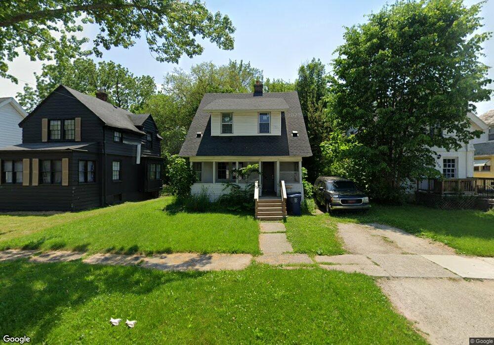
1921 Bagley St Flint, MI 48504
Mott Park NeighborhoodEstimated Value: $49,000 - $80,000
3
Beds
1
Bath
1,098
Sq Ft
$60/Sq Ft
Est. Value
About This Home
This home is located at 1921 Bagley St, Flint, MI 48504 and is currently estimated at $65,333, approximately $59 per square foot. 1921 Bagley St is a home located in Genesee County with nearby schools including Durant-Tuuri-Mott Elementary School, St John Vianney Catholic School, and St. Paul Lutheran School.
Ownership History
Date
Name
Owned For
Owner Type
Purchase Details
Closed on
Mar 18, 2020
Sold by
Genesee County Land Bank Authority
Bought by
Superfastbpo Llc
Current Estimated Value
Purchase Details
Closed on
Dec 18, 2018
Sold by
Cherry Deborah L
Bought by
Genesee County Land Bank Authority
Purchase Details
Closed on
Nov 10, 2005
Sold by
Jarrard J M and Jarrard John
Bought by
Glover Gale
Purchase Details
Closed on
Oct 15, 2004
Sold by
Routowicz Carl and Routowicz Helen
Bought by
Jarrard J M
Create a Home Valuation Report for This Property
The Home Valuation Report is an in-depth analysis detailing your home's value as well as a comparison with similar homes in the area
Home Values in the Area
Average Home Value in this Area
Purchase History
| Date | Buyer | Sale Price | Title Company |
|---|---|---|---|
| Superfastbpo Llc | -- | None Available | |
| Genesee County Land Bank Authority | -- | None Available | |
| Glover Gale | -- | Guaranty Title Company | |
| Jarrard J M | -- | Sargents Title Company |
Source: Public Records
Tax History
| Year | Tax Paid | Tax Assessment Tax Assessment Total Assessment is a certain percentage of the fair market value that is determined by local assessors to be the total taxable value of land and additions on the property. | Land | Improvement |
|---|---|---|---|---|
| 2025 | $2,059 | $27,000 | $0 | $0 |
| 2024 | $1,887 | $25,100 | $0 | $0 |
| 2023 | $1,240 | $19,900 | $0 | $0 |
| 2022 | $0 | $17,500 | $0 | $0 |
| 2021 | $991 | $13,700 | $0 | $0 |
| 2020 | $0 | $0 | $0 | $0 |
| 2019 | $822 | $0 | $0 | $0 |
| 2018 | $808 | $8,400 | $0 | $0 |
| 2017 | $828 | $0 | $0 | $0 |
| 2016 | $822 | $0 | $0 | $0 |
| 2015 | -- | $0 | $0 | $0 |
| 2014 | -- | $0 | $0 | $0 |
| 2012 | -- | $11,800 | $0 | $0 |
Source: Public Records
Map
Nearby Homes
- 913 Perry St
- 2023 Cadillac St
- 1900 Cadillac St
- 1016 Dupont St
- 971 N Chevrolet Ave
- 2026 Monteith St
- 751 Dupont St
- 1025 Frost St
- 1717 Wolcott St
- 2410 Sloan St
- 825 Frank St
- 1409 Prospect St
- 2513 Tiffin St
- 2001 Mackin Rd
- 2008 University Ave
- 2602 Sloan St
- 2540 Altoona St
- 2547 Altoona St
- 1220 Forest Hill Ave
- 314 Sheffield Ave
- 1917 Bagley St
- 1925 Bagley St
- 1913 Bagley St
- 2001 Bagley St
- 1909 Bagley St
- 2005 Bagley St
- 2014 Cadillac St
- 2010 Cadillac St
- 2018 Cadillac St
- 2009 Bagley St
- 2006 Cadillac St
- 2022 Cadillac St
- 1926 Bagley St
- 2013 Bagley St
- 1922 Bagley St
- 959 Perry St
- 2000 Bagley St
- 967 Perry St
- 963 Perry St
- 1918 Bagley St
Your Personal Tour Guide
Ask me questions while you tour the home.