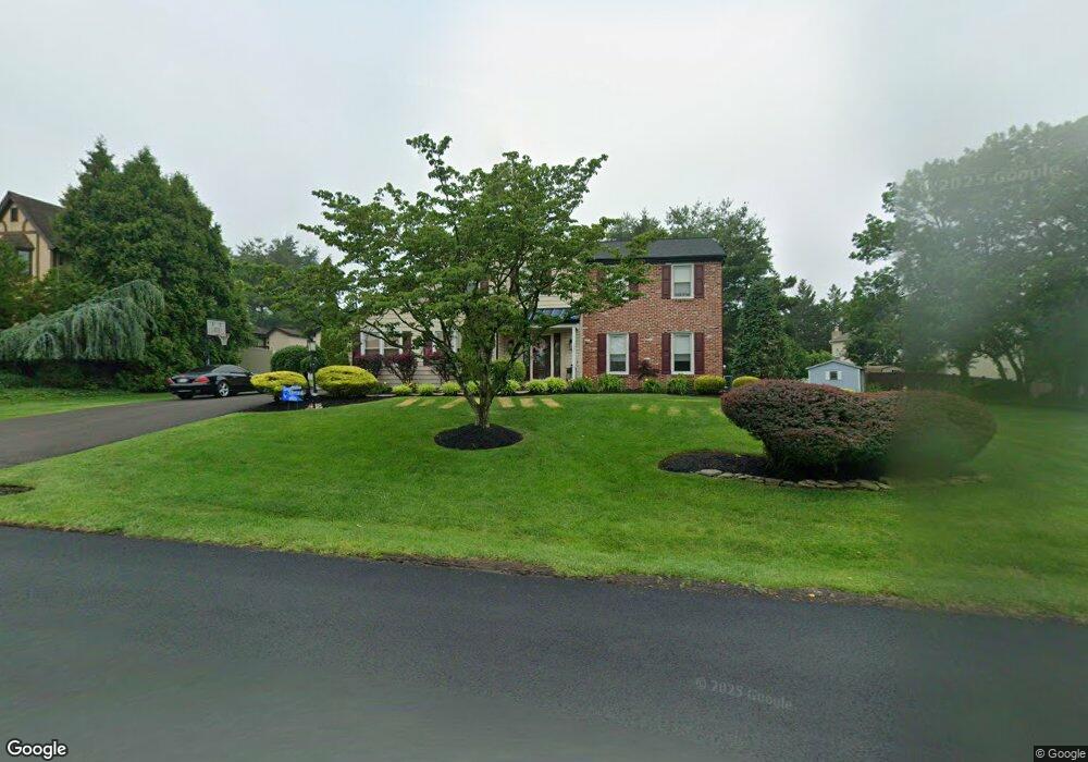
1921 Buckingham Dr Jamison, PA 18929
Estimated Value: $749,000 - $892,000
4
Beds
3
Baths
2,938
Sq Ft
$289/Sq Ft
Est. Value
About This Home
This home is located at 1921 Buckingham Dr, Jamison, PA 18929 and is currently estimated at $849,253, approximately $289 per square foot. 1921 Buckingham Dr is a home located in Bucks County with nearby schools including Jamison Elementary School, Tamanend Middle School, and Central Bucks High School - South.
Ownership History
Date
Name
Owned For
Owner Type
Purchase Details
Closed on
Mar 27, 1986
Sold by
Mountain Side Devt Inc
Bought by
Mariello Frank and Mary Beth
Current Estimated Value
Create a Home Valuation Report for This Property
The Home Valuation Report is an in-depth analysis detailing your home's value as well as a comparison with similar homes in the area
Home Values in the Area
Average Home Value in this Area
Purchase History
| Date | Buyer | Sale Price | Title Company |
|---|---|---|---|
| Mariello Frank | $39,500 | -- |
Source: Public Records
Tax History Compared to Growth
Tax History
| Year | Tax Paid | Tax Assessment Tax Assessment Total Assessment is a certain percentage of the fair market value that is determined by local assessors to be the total taxable value of land and additions on the property. | Land | Improvement |
|---|---|---|---|---|
| 2025 | $10,364 | $59,540 | $11,080 | $48,460 |
| 2024 | $10,364 | $59,540 | $11,080 | $48,460 |
| 2023 | $10,035 | $59,540 | $11,080 | $48,460 |
| 2022 | $9,923 | $59,540 | $11,080 | $48,460 |
| 2021 | $9,812 | $59,540 | $11,080 | $48,460 |
| 2020 | $9,812 | $59,540 | $11,080 | $48,460 |
| 2019 | $9,173 | $56,000 | $11,080 | $44,920 |
| 2018 | $9,173 | $56,000 | $11,080 | $44,920 |
| 2017 | $9,103 | $56,000 | $11,080 | $44,920 |
| 2016 | -- | $56,000 | $11,080 | $44,920 |
| 2015 | -- | $56,000 | $11,080 | $44,920 |
| 2014 | -- | $56,000 | $11,080 | $44,920 |
Source: Public Records
Map
Nearby Homes
- 2018 Buckingham Dr
- 2158 Green Ridge Dr
- 1877 Brook Ln
- 1834 Augusta Dr
- 1249 Pebble Hill Rd
- 2226 Orchard Hill Cir
- 45 Bedford Ave
- 2807 Mountain Laurel Dr
- 125 Edison Furlong Rd
- 1416 Angela Ct Unit 1004
- 2127 York Rd
- 1554 Park Dr
- 1 Squirrel Rd
- 100 Ginko St Unit 303
- 1501 Deborah Ct Unit 2102
- 150 Edison Furlong Rd
- 108 Eagle Ct Unit 105
- 100 Fiddleleaf Ln Unit 104
- 2761 York Rd
- 1620 Rockcress Dr
- 1931 Buckingham Dr
- 2145 Canterbury Ln
- 1911 Buckingham Dr
- 2129 Canterbury Ln
- 1941 Buckingham Dr
- 2164 Pennsbury Dr
- 1964 Sturbridge Dr
- 1940 Buckingham Dr
- 1974 Sturbridge Dr
- 2119 Canterbury Ln
- 1914 Buckingham Dr
- 1951 Buckingham Dr
- 2150 Canterbury Ln
- 2169 Pennsbury Dr
- 1891 Buckingham Dr
- 2140 Canterbury Ln
- 1984 Sturbridge Dr
- 1904 Buckingham Dr
- 2130 Canterbury Ln
- 2120 Canterbury Ln