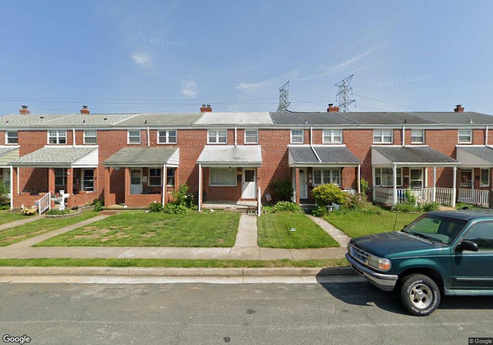
1921 Denbury Dr Dundalk, MD 21222
Estimated Value: $156,635 - $214,000
--
Bed
1
Bath
1,008
Sq Ft
$190/Sq Ft
Est. Value
About This Home
This home is located at 1921 Denbury Dr, Dundalk, MD 21222 and is currently estimated at $191,909, approximately $190 per square foot. 1921 Denbury Dr is a home located in Baltimore County with nearby schools including Grange Elementary School, General John Stricker Middle School, and Patapsco High & Center for Arts.
Ownership History
Date
Name
Owned For
Owner Type
Purchase Details
Closed on
Mar 18, 2023
Sold by
Golamb Debbie S Le
Bought by
Golamb Debbie S and Lewis Hillary D
Current Estimated Value
Home Financials for this Owner
Home Financials are based on the most recent Mortgage that was taken out on this home.
Original Mortgage
$80,000
Outstanding Balance
$74,702
Interest Rate
6.5%
Mortgage Type
New Conventional
Estimated Equity
$117,207
Purchase Details
Closed on
Apr 25, 2003
Sold by
Pethel Hazel L
Bought by
Pethel Hazel L
Purchase Details
Closed on
Oct 18, 1966
Sold by
Fischer Sadie M
Bought by
Pethel Hazel L
Create a Home Valuation Report for This Property
The Home Valuation Report is an in-depth analysis detailing your home's value as well as a comparison with similar homes in the area
Home Values in the Area
Average Home Value in this Area
Purchase History
| Date | Buyer | Sale Price | Title Company |
|---|---|---|---|
| Golamb Debbie S | -- | -- | |
| Pethel Hazel L | -- | -- | |
| Pethel Hazel L | $9,500 | -- |
Source: Public Records
Mortgage History
| Date | Status | Borrower | Loan Amount |
|---|---|---|---|
| Open | Golamb Debbie S | $80,000 |
Source: Public Records
Tax History Compared to Growth
Tax History
| Year | Tax Paid | Tax Assessment Tax Assessment Total Assessment is a certain percentage of the fair market value that is determined by local assessors to be the total taxable value of land and additions on the property. | Land | Improvement |
|---|---|---|---|---|
| 2025 | $2,014 | $140,667 | -- | -- |
| 2024 | $2,014 | $131,133 | $0 | $0 |
| 2023 | $969 | $121,600 | $36,000 | $85,600 |
| 2022 | $1,939 | $120,067 | $0 | $0 |
| 2021 | $907 | $118,533 | $0 | $0 |
| 2020 | $907 | $117,000 | $36,000 | $81,000 |
| 2019 | $2,202 | $114,233 | $0 | $0 |
| 2018 | $715 | $111,467 | $0 | $0 |
| 2017 | $727 | $108,700 | $0 | $0 |
| 2016 | $798 | $108,700 | $0 | $0 |
| 2015 | $798 | $108,700 | $0 | $0 |
| 2014 | $798 | $125,800 | $0 | $0 |
Source: Public Records
Map
Nearby Homes
- 2746 Moorgate Rd
- 1940 Wareham Rd
- 2743 Kirkleigh Rd
- 2738 Moorgate Rd
- 1935 Stanhope Rd
- 7807 Rockbourne Rd
- 1894 Church Rd
- 7252 Meadow Ln
- 9 Vista Mobile Dr
- 7839 Harold Rd
- 1907 Wills Rd
- 1914 Armco Way
- 2007 Dineen Dr
- 1940H Robinwood Rd
- 1943 Dineen Dr
- 1614 Lynch Rd
- 2953 Yorkway
- 2970 Yorkway
- 3135 Sollers Point Rd
- 7518 Lawrence Rd
- 1923 Denbury Dr
- 1925 Denbury Dr
- 1919 Denbury Dr
- 1927 Denbury Dr
- 1917 Denbury Dr
- 1929 Denbury Dr
- 1915 Denbury Dr
- 1931 Denbury Dr
- 1933 Denbury Dr
- 1935 Denbury Dr
- 1937 Denbury Dr
- 1916 Denbury Dr
- 1914 Denbury Dr
- 1918 Denbury Dr
- 1912 Denbury Dr
- 1920 Denbury Dr
- 1910 Denbury Dr
- 1922 Denbury Dr
- 1939 Denbury Dr
- 1908 Denbury Dr