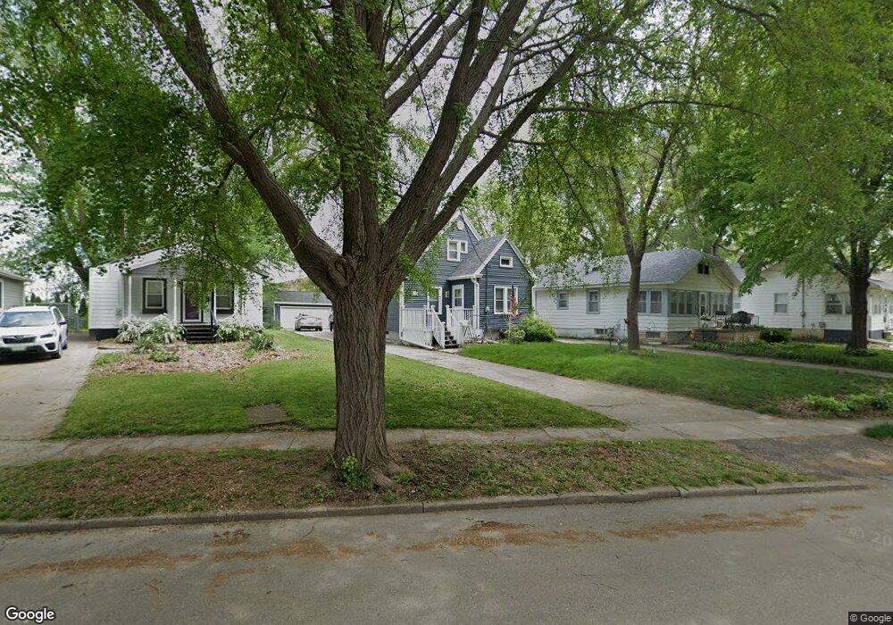
1921 Glenbrook Dr Des Moines, IA 50316
Union Park NeighborhoodEstimated Value: $190,920 - $238,000
3
Beds
1
Bath
1,342
Sq Ft
$155/Sq Ft
Est. Value
About This Home
This home is located at 1921 Glenbrook Dr, Des Moines, IA 50316 and is currently estimated at $208,480, approximately $155 per square foot. 1921 Glenbrook Dr is a home located in Polk County with nearby schools including Cattell Elementary School, Goodrell Middle School, and North High School.
Ownership History
Date
Name
Owned For
Owner Type
Purchase Details
Closed on
Apr 23, 2007
Sold by
Betts Donald W and Betts Marcella M
Bought by
Betts Donald W and Betts Marcella M
Current Estimated Value
Create a Home Valuation Report for This Property
The Home Valuation Report is an in-depth analysis detailing your home's value as well as a comparison with similar homes in the area
Home Values in the Area
Average Home Value in this Area
Purchase History
| Date | Buyer | Sale Price | Title Company |
|---|---|---|---|
| Betts Donald W | -- | None Available |
Source: Public Records
Tax History Compared to Growth
Tax History
| Year | Tax Paid | Tax Assessment Tax Assessment Total Assessment is a certain percentage of the fair market value that is determined by local assessors to be the total taxable value of land and additions on the property. | Land | Improvement |
|---|---|---|---|---|
| 2025 | $2,334 | $162,900 | $31,800 | $131,100 |
| 2024 | $2,334 | $144,800 | $28,000 | $116,800 |
| 2023 | $2,624 | $144,800 | $28,000 | $116,800 |
| 2022 | $2,602 | $123,600 | $25,500 | $98,100 |
| 2021 | $2,424 | $123,600 | $25,500 | $98,100 |
| 2020 | $2,510 | $109,000 | $22,500 | $86,500 |
| 2019 | $2,226 | $109,000 | $22,500 | $86,500 |
| 2018 | $2,196 | $94,600 | $19,400 | $75,200 |
| 2017 | $2,114 | $94,600 | $19,400 | $75,200 |
| 2016 | $2,052 | $89,900 | $18,200 | $71,700 |
| 2015 | $2,052 | $89,900 | $18,200 | $71,700 |
| 2014 | $2,040 | $92,000 | $18,500 | $73,500 |
Source: Public Records
Map
Nearby Homes
- 1602 Wilson Ave
- 1530 Mattern Ave
- 1526 E Jefferson Ave
- 1443 Wilson Ave
- 1434 Mattern Ave
- 1617 Guthrie Ave
- 1427 Mattern Ave
- 1514 Guthrie Ave
- 1400 Mattern Ave
- 1501 Osceola Ave
- 1822 E 14th St
- 1916 York St
- 2018 York St
- 1424 Milton Ave
- 1431 E 15th St
- 1613 York St
- 1464 E 14th St
- 2517 Sampson St
- 1418 E 17th St
- 2529 Glenbrook Dr
- 1919 Glenbrook Dr
- 1925 Glenbrook Dr
- 1917 Glenbrook Dr
- 1913 Glenbrook Dr
- 1933 Glenbrook Dr
- 1909 Glenbrook Dr
- 1551 Wilson Ave
- 2001 Glenbrook Dr
- 1905 Glenbrook Dr
- 1547 Wilson Ave
- 2005 Glenbrook Dr
- 1543 Wilson Ave
- 1901 Glenbrook Dr
- 1912 Glenbrook Dr
- 1550 Wilson Ave
- 2009 Glenbrook Dr
- 1539 Wilson Ave
- 2004 Glenbrook Dr
- 1546 Wilson Ave