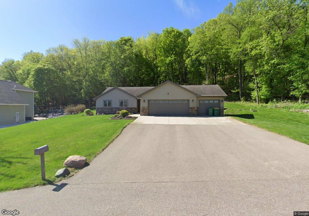
1921 Grant Dr Mankato, MN 56001
Estimated Value: $422,000 - $528,000
5
Beds
4
Baths
3,634
Sq Ft
$136/Sq Ft
Est. Value
About This Home
This home is located at 1921 Grant Dr, Mankato, MN 56001 and is currently estimated at $493,951, approximately $135 per square foot. 1921 Grant Dr is a home located in Blue Earth County with nearby schools including Roosevelt Elementary School, Dakota Meadows Middle School, and Mankato West Senior High School.
Ownership History
Date
Name
Owned For
Owner Type
Purchase Details
Closed on
Jul 13, 2011
Sold by
Federal National Mortgage Association
Bought by
Mcgowan Michael J and Mcgowan Theresa M
Current Estimated Value
Home Financials for this Owner
Home Financials are based on the most recent Mortgage that was taken out on this home.
Original Mortgage
$239,400
Outstanding Balance
$164,778
Interest Rate
4.52%
Mortgage Type
New Conventional
Estimated Equity
$329,173
Purchase Details
Closed on
Oct 5, 2006
Sold by
Embacher Max C
Bought by
Mathes Alvin R and Mathes Barbara J
Home Financials for this Owner
Home Financials are based on the most recent Mortgage that was taken out on this home.
Original Mortgage
$223,900
Interest Rate
6.5%
Mortgage Type
New Conventional
Create a Home Valuation Report for This Property
The Home Valuation Report is an in-depth analysis detailing your home's value as well as a comparison with similar homes in the area
Home Values in the Area
Average Home Value in this Area
Purchase History
| Date | Buyer | Sale Price | Title Company |
|---|---|---|---|
| Mcgowan Michael J | $252,000 | -- | |
| Mathes Alvin R | $64,900 | -- |
Source: Public Records
Mortgage History
| Date | Status | Borrower | Loan Amount |
|---|---|---|---|
| Open | Mcgowan Michael J | $239,400 | |
| Previous Owner | Mathes Alvin R | $223,900 |
Source: Public Records
Tax History Compared to Growth
Tax History
| Year | Tax Paid | Tax Assessment Tax Assessment Total Assessment is a certain percentage of the fair market value that is determined by local assessors to be the total taxable value of land and additions on the property. | Land | Improvement |
|---|---|---|---|---|
| 2025 | $4,762 | $511,500 | $75,000 | $436,500 |
| 2024 | $4,762 | $461,600 | $75,000 | $386,600 |
| 2023 | $4,836 | $491,900 | $75,000 | $416,900 |
| 2022 | $5,554 | $452,800 | $75,000 | $377,800 |
| 2021 | $5,426 | $384,700 | $75,000 | $309,700 |
| 2020 | $5,082 | $349,200 | $60,000 | $289,200 |
| 2019 | $4,690 | $349,200 | $60,000 | $289,200 |
| 2018 | $3,156 | $352,900 | $61,800 | $291,100 |
| 2017 | $2,848 | $318,500 | $61,800 | $256,700 |
| 2016 | $2,654 | $307,900 | $61,800 | $246,100 |
| 2015 | $26 | $286,700 | $61,800 | $224,900 |
| 2014 | $2,270 | $289,100 | $61,800 | $227,300 |
Source: Public Records
Map
Nearby Homes
- 1614 Le Sueur Ave
- 210 Bird St S
- 3202 3202 Noble Dr
- 3111 3111 Scotch Ln
- 419 Royal Rd
- 629 Marie Ln
- 237 W Skyline Ct
- 55856 River Fort Dr
- 237 237 W Skyline Ct
- 204 Sturgis St N
- 626 Marie Ln
- 204 204 N Sturgis St
- 630 Marie Ln
- 50 50 Skyline Dr
- 233 Allan Ave
- 23 23 Holiday Ct
- 17 Oriole Place
- 31 Holiday Ct
- 31 31 Holiday Ct
- 1030 Oak Terrace Dr
- 1911 Grant Dr
- 1920 Grant Dr
- 1901 Grant Dr
- 1901 1901 Grant-Avenue-
- 520 Heritage Place
- 1840 Grant Dr
- 2140 Badger Ln
- 540 Heritage Place
- 1831 Grant Dr
- 1820 Grant Dr
- 559 Heritage Place
- 560 Heritage Place
- 1801 Grant Dr
- 2060 Badger Ln
- Lot 12 Badger Ln
- 2006 Badger Ln
- 2036 Badger Ln
- Lot 11 Badger Ln
- Lot1 Badger-Lane-
- 0 Lot 12 Badger-Lane- Unit 3481541