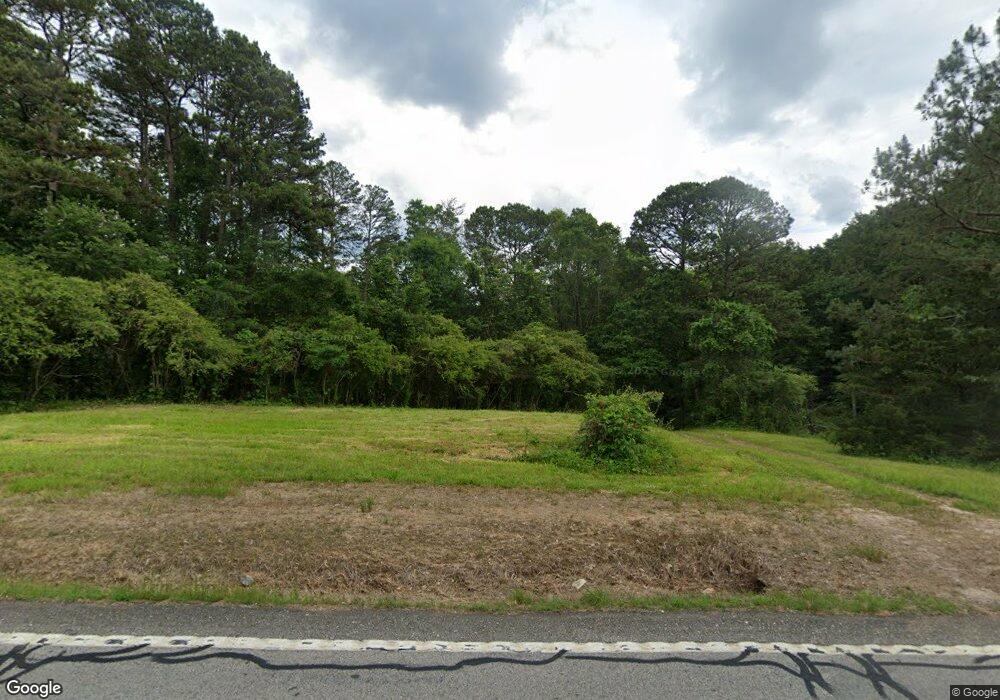
1921 Highway 145 Eastanollee, GA 30538
Estimated Value: $136,000 - $297,995
3
Beds
1
Bath
1,331
Sq Ft
$166/Sq Ft
Est. Value
About This Home
This home is located at 1921 Highway 145, Eastanollee, GA 30538 and is currently estimated at $220,749, approximately $165 per square foot. 1921 Highway 145 is a home located in Stephens County with nearby schools including Stephens County High School.
Ownership History
Date
Name
Owned For
Owner Type
Purchase Details
Closed on
Jan 12, 2021
Sold by
Howarad Jasmyn Maeruth
Bought by
Bridges Brandon and Bridges Bobbie
Current Estimated Value
Purchase Details
Closed on
Apr 9, 2018
Sold by
Salzman Lyle W
Bought by
Horard Jasmyn Maeruth
Home Financials for this Owner
Home Financials are based on the most recent Mortgage that was taken out on this home.
Original Mortgage
$74,765
Interest Rate
4.46%
Mortgage Type
New Conventional
Purchase Details
Closed on
Oct 13, 2009
Sold by
Wright Maxine G
Bought by
Salzman Lyle W
Home Financials for this Owner
Home Financials are based on the most recent Mortgage that was taken out on this home.
Original Mortgage
$81,428
Interest Rate
5.04%
Mortgage Type
New Conventional
Create a Home Valuation Report for This Property
The Home Valuation Report is an in-depth analysis detailing your home's value as well as a comparison with similar homes in the area
Home Values in the Area
Average Home Value in this Area
Purchase History
| Date | Buyer | Sale Price | Title Company |
|---|---|---|---|
| Bridges Brandon | $72,348 | -- | |
| Bridges Brandon | $72,348 | -- | |
| Horard Jasmyn Maeruth | $78,700 | -- | |
| Salzman Lyle W | $79,800 | -- |
Source: Public Records
Mortgage History
| Date | Status | Borrower | Loan Amount |
|---|---|---|---|
| Previous Owner | Horard Jasmyn Maeruth | $74,765 | |
| Previous Owner | Salzman Lyle W | $81,428 |
Source: Public Records
Tax History Compared to Growth
Tax History
| Year | Tax Paid | Tax Assessment Tax Assessment Total Assessment is a certain percentage of the fair market value that is determined by local assessors to be the total taxable value of land and additions on the property. | Land | Improvement |
|---|---|---|---|---|
| 2024 | $1,176 | $38,613 | $3,286 | $35,327 |
| 2023 | $862 | $35,813 | $3,286 | $32,527 |
| 2022 | $996 | $33,442 | $3,000 | $30,442 |
| 2021 | $964 | $30,827 | $3,000 | $27,827 |
| 2020 | $951 | $30,122 | $3,000 | $27,122 |
| 2019 | $969 | $30,552 | $3,430 | $27,122 |
| 2018 | $969 | $30,552 | $3,430 | $27,122 |
| 2017 | $984 | $30,552 | $3,430 | $27,122 |
| 2016 | $969 | $30,552 | $3,430 | $27,121 |
| 2015 | $1,019 | $30,695 | $3,430 | $27,264 |
| 2014 | $1,035 | $30,670 | $3,430 | $27,240 |
| 2013 | -- | $30,670 | $3,430 | $27,240 |
Source: Public Records
Map
Nearby Homes
- 1814 Ridgeland Rd
- 729 Dortch Rd
- 771 Dortch Rd
- 799 Dortch Rd
- 825 Dortch Rd
- 883 Dortch Rd
- 0 Eastanollee Rd Unit 10440265
- TRACT7 Oak Brook Dr
- 303 Oak Way Dr
- 160 Oak Way Dr
- 232 Oak Way Dr
- 2657 Wolfpit Rd
- 2657 Wolf Pit Rd
- 107 Oak Way Dr
- 3953 Liberty Hill Rd
- 123 Gennings Dr
- 1190 Swilling Rd
- 30 Akins Bridge Rd
- 437 Broad River Church Rd
- 218 Jefferson Place
- 1921 Highway 145
- 2048 Georgia 145
- 1791 Highway 145
- 2075 Highway 145
- 1850 Highway 145
- 1914 Highway 145
- 1960 Highway 145
- 21 Glen Martin Dr
- 33 Kay Rd
- 105 Kay Rd
- 2219 Highway 145
- 186 Dortch Rd
- 1710 Highway 145
- 1691 Highway 145
- 297 Dortch Rd
- 0 Blanche Dr Unit 8454959
- 0 Blanche Dr
- 156 Blanche Dr
- 2298 Highway 145
- 2347 Highway 145
