1921 Kolb Farm Cir SW Unit 932 Marietta, GA 30008
Southwestern Marietta NeighborhoodEstimated Value: $341,000 - $376,000
3
Beds
3
Baths
1,712
Sq Ft
$208/Sq Ft
Est. Value
About This Home
This home is located at 1921 Kolb Farm Cir SW Unit 932, Marietta, GA 30008 and is currently estimated at $355,766, approximately $207 per square foot. 1921 Kolb Farm Cir SW Unit 932 is a home located in Cobb County with nearby schools including Dowell Elementary School, Smitha Middle School, and Osborne High School.
Ownership History
Date
Name
Owned For
Owner Type
Purchase Details
Closed on
Mar 22, 2002
Sold by
Brown Karen B
Bought by
Egington Cheryl U and Egington Henry W
Current Estimated Value
Home Financials for this Owner
Home Financials are based on the most recent Mortgage that was taken out on this home.
Original Mortgage
$100,100
Interest Rate
6.8%
Mortgage Type
New Conventional
Create a Home Valuation Report for This Property
The Home Valuation Report is an in-depth analysis detailing your home's value as well as a comparison with similar homes in the area
Home Values in the Area
Average Home Value in this Area
Purchase History
| Date | Buyer | Sale Price | Title Company |
|---|---|---|---|
| Egington Cheryl U | $143,000 | -- |
Source: Public Records
Mortgage History
| Date | Status | Borrower | Loan Amount |
|---|---|---|---|
| Closed | Egington Cheryl U | $100,100 |
Source: Public Records
Tax History Compared to Growth
Tax History
| Year | Tax Paid | Tax Assessment Tax Assessment Total Assessment is a certain percentage of the fair market value that is determined by local assessors to be the total taxable value of land and additions on the property. | Land | Improvement |
|---|---|---|---|---|
| 2025 | $905 | $142,112 | $28,000 | $114,112 |
| 2024 | $908 | $142,112 | $28,000 | $114,112 |
| 2023 | $701 | $142,112 | $28,000 | $114,112 |
| 2022 | $796 | $104,900 | $12,600 | $92,300 |
| 2021 | $716 | $77,920 | $12,600 | $65,320 |
| 2020 | $716 | $77,920 | $12,600 | $65,320 |
| 2019 | $695 | $71,176 | $12,600 | $58,576 |
| 2018 | $695 | $71,176 | $12,600 | $58,576 |
| 2017 | $520 | $59,612 | $12,600 | $47,012 |
| 2016 | $468 | $54,296 | $12,600 | $41,696 |
| 2015 | $502 | $54,296 | $12,600 | $41,696 |
| 2014 | $514 | $54,296 | $0 | $0 |
Source: Public Records
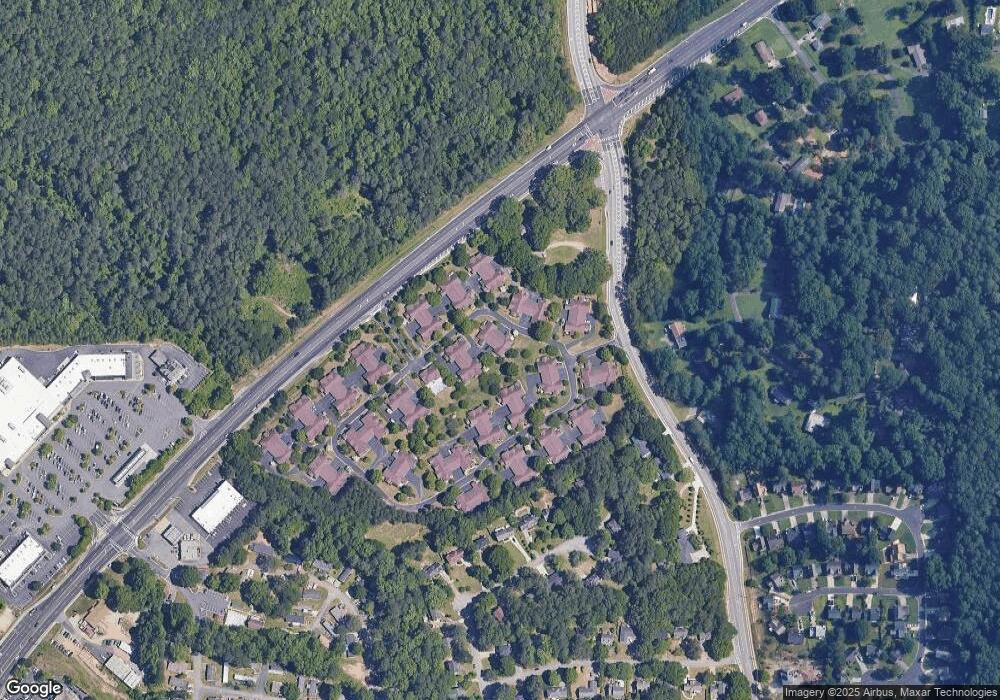
Map
Nearby Homes
- 1927 Kolb Farm Cir SW Unit 90
- 1906 Kolb Farm Cir SW Unit 51
- 1830 Kolb Farm Cir SW Unit 7
- 1481 Chapel Hill Ln SW
- 1472 Chapel Hill Ln SW
- 1951 Bergerac Ct SW
- 1784 Hammond Woods Cir SW
- 1799 Hammond Woods Cir SW
- 1681 Hammond Woods Cir SW
- 1226 Cumberland Creek Place SW
- 1830 MacLand Rd SW
- 1533 Fallen Leaf Dr SW
- 1589 Hammond Woods Cir SW
- 2002 MacLand Square Dr Unit 1
- 2028 MacLand Square Dr Unit 4
- 1946 MacLand Rd SW
- 1646 Desford Ct SW
- 1756 Kimberly Dr SW
- 1952 Freestone Way
- 2040 Hardwood Cir SW Unit 3
- 1915 Kolb Farm Cir SW
- 1919 Kolb Farm Cir SW Unit 24
- 1917 Kolb Farm Cir SW Unit 95
- 1923 Kolb Farm Cir SW Unit 92
- 1925 Kolb Farm Cir SW
- 1929 Kolb Farm Cir SW Unit 1929
- 1929 Kolb Farm Cir SW
- 1900 Kolb Farm Cir SW
- 1877 Kolb Farm Cir SW
- 1871 Kolb Farm Cir SW
- 1898 Kolb Farm Cir SW
- 1865 Kolb Farm Cir SW Unit 68
- 1902 Kolb Farm Cir SW
- 1904 Kolb Farm Cir SW
- 1875 Kolb Farm Cir SW Unit 61
- 1918 Kolb Farm Cir SW
- 1916 Kolb Farm Cir SW
- 1879 Kolb Farm Cir SW
- 1910 Kolb Farm Cir SW
- 1873 Kolb Farm Cir SW Unit 62