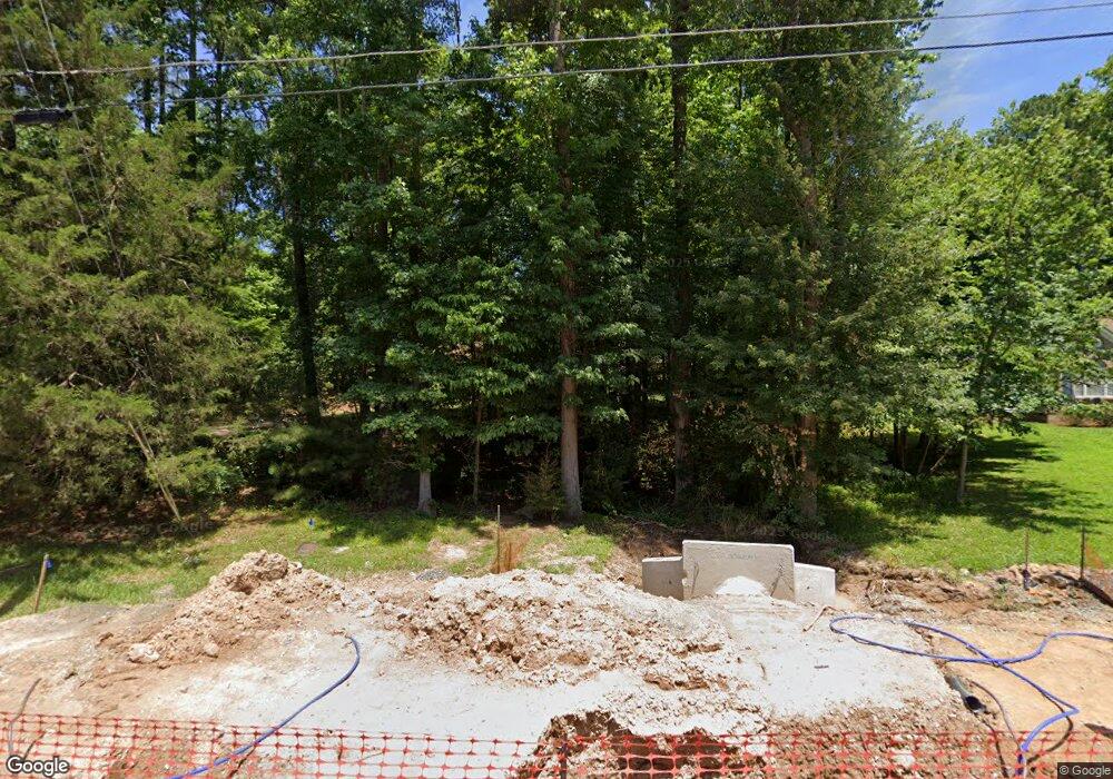
1921 Leonard Dr Durham, NC 27703
South Durham NeighborhoodEstimated Value: $367,000 - $433,965
3
Beds
2
Baths
1,734
Sq Ft
$230/Sq Ft
Est. Value
About This Home
This home is located at 1921 Leonard Dr, Durham, NC 27703 and is currently estimated at $399,491, approximately $230 per square foot. 1921 Leonard Dr is a home located in Durham County with nearby schools including R.N. Harris Elementary School, James E. Shepard Middle School, and Hillside High School.
Ownership History
Date
Name
Owned For
Owner Type
Purchase Details
Closed on
Nov 11, 2009
Sold by
Branch Banking & Trust Company
Bought by
Sanders Sandi M and Sanders Scott E
Current Estimated Value
Home Financials for this Owner
Home Financials are based on the most recent Mortgage that was taken out on this home.
Original Mortgage
$152,000
Outstanding Balance
$101,222
Interest Rate
4.75%
Mortgage Type
Construction
Estimated Equity
$298,269
Create a Home Valuation Report for This Property
The Home Valuation Report is an in-depth analysis detailing your home's value as well as a comparison with similar homes in the area
Home Values in the Area
Average Home Value in this Area
Purchase History
| Date | Buyer | Sale Price | Title Company |
|---|---|---|---|
| Sanders Sandi M | $140,000 | None Available |
Source: Public Records
Mortgage History
| Date | Status | Borrower | Loan Amount |
|---|---|---|---|
| Open | Sanders Sandi M | $152,000 |
Source: Public Records
Tax History
| Year | Tax Paid | Tax Assessment Tax Assessment Total Assessment is a certain percentage of the fair market value that is determined by local assessors to be the total taxable value of land and additions on the property. | Land | Improvement |
|---|---|---|---|---|
| 2025 | $4,228 | $426,506 | $145,350 | $281,156 |
| 2024 | $3,296 | $236,258 | $30,580 | $205,678 |
| 2023 | $3,095 | $236,258 | $30,580 | $205,678 |
| 2022 | $3,024 | $236,258 | $30,580 | $205,678 |
| 2021 | $3,010 | $236,258 | $30,580 | $205,678 |
| 2020 | $2,939 | $236,258 | $30,580 | $205,678 |
| 2019 | $2,939 | $236,258 | $30,580 | $205,678 |
| 2018 | $2,123 | $156,514 | $22,935 | $133,579 |
| 2017 | $2,107 | $156,514 | $22,935 | $133,579 |
| 2016 | $2,036 | $156,514 | $22,935 | $133,579 |
| 2015 | $2,681 | $193,679 | $24,500 | $169,179 |
| 2014 | $2,681 | $193,679 | $24,500 | $169,179 |
Source: Public Records
Map
Nearby Homes
- 1905 Edgerton Dr
- 17 Eddy Trail
- 1206 Ellis Rd
- 204 Garden Walk Dr
- 1202 Ellis Rd
- 1412 Scholar Dr
- 2605 Magnolia Tree Ln
- 3004 Cypress Lagoon Ct
- 52 Holly Berry Ln
- 229 Zante Currant Rd
- 2020 Collier Dr
- 2105 Pear Tree Ln
- 3305 Delmar Dr
- 3303 Delmar Dr
- 2458 S Alston Ave
- 2002 Strickland Oak Way
- 2300 S Alston Ave
- 3224 Opal Dr
- 3222 Opal Dr
- 3216 Opal Dr
- 1925 Leonard Dr
- 1922 Edgerton Dr
- 1915 Leonard Dr
- 1915 Leonard Dr Unit 10
- 1915 Leonard Dr Unit 9 & 10
- 1915 Leonard Dr Unit 910
- 1924 Edgerton Dr
- 1924 Leonard Dr
- 1920 Leonard Dr
- 1412 Ed Cook Rd
- 1918 Edgerton Dr
- 1926 Edgerton Dr
- 1500 Ed Cook Rd
- 1408 Ed Cook Rd
- 1911 Leonard Dr
- 1914 Edgerton Dr
- LT 9 - 10 Leonard Dr
- 1907 Leonard Dr
- 1903 Edgerton Dr Unit 64&65
- 1426 Edgerton Dr
Your Personal Tour Guide
Ask me questions while you tour the home.
