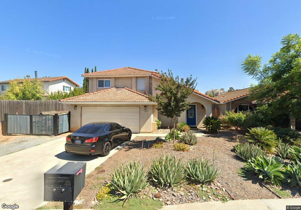
1921 Rees Rd San Marcos, CA 92069
Estimated Value: $806,000 - $843,698
3
Beds
2
Baths
1,444
Sq Ft
$569/Sq Ft
Est. Value
About This Home
This home is located at 1921 Rees Rd, San Marcos, CA 92069 and is currently estimated at $821,425, approximately $568 per square foot. 1921 Rees Rd is a home located in San Diego County with nearby schools including Knob Hill Elementary School, Woodland Park Middle School, and Mission Hills High School.
Ownership History
Date
Name
Owned For
Owner Type
Purchase Details
Closed on
Nov 10, 2015
Sold by
Fletcher Christopher L and Fletcher Peggy L
Bought by
Rincon Oscar and Rincon Monica Y
Current Estimated Value
Home Financials for this Owner
Home Financials are based on the most recent Mortgage that was taken out on this home.
Original Mortgage
$381,954
Outstanding Balance
$299,606
Interest Rate
3.71%
Mortgage Type
FHA
Estimated Equity
$521,819
Create a Home Valuation Report for This Property
The Home Valuation Report is an in-depth analysis detailing your home's value as well as a comparison with similar homes in the area
Home Values in the Area
Average Home Value in this Area
Purchase History
| Date | Buyer | Sale Price | Title Company |
|---|---|---|---|
| Rincon Oscar | $389,000 | First American Title |
Source: Public Records
Mortgage History
| Date | Status | Borrower | Loan Amount |
|---|---|---|---|
| Open | Rincon Oscar | $381,954 |
Source: Public Records
Tax History
| Year | Tax Paid | Tax Assessment Tax Assessment Total Assessment is a certain percentage of the fair market value that is determined by local assessors to be the total taxable value of land and additions on the property. | Land | Improvement |
|---|---|---|---|---|
| 2025 | $4,941 | $460,490 | $151,600 | $308,890 |
| 2024 | $4,941 | $451,462 | $148,628 | $302,834 |
| 2023 | $4,848 | $442,611 | $145,714 | $296,897 |
| 2022 | $4,781 | $433,933 | $142,857 | $291,076 |
| 2021 | $4,700 | $425,425 | $140,056 | $285,369 |
| 2020 | $4,655 | $421,063 | $138,620 | $282,443 |
| 2019 | $4,602 | $412,807 | $135,902 | $276,905 |
| 2018 | $4,454 | $404,714 | $133,238 | $271,476 |
| 2017 | $4,381 | $396,779 | $130,626 | $266,153 |
| 2016 | $4,376 | $389,000 | $128,065 | $260,935 |
| 2015 | $1,657 | $145,597 | $47,933 | $97,664 |
| 2014 | $1,620 | $142,746 | $46,995 | $95,751 |
Source: Public Records
Map
Nearby Homes
- 0 Leaf Ln
- 1616 Via Ronda
- 1892 Matin Cir Unit 173
- 1860 Matin Cir Unit 103
- 1866 Matin Cir Unit 111
- 1524 Brook Rd
- 1719 Kiwi Glen
- 1501 Rock Springs Rd
- 1723 Kiwi Glen
- 678 Douglas Ave
- 1130 Pebble Springs Ln
- 1708 Woodbridge Rd
- 1318 Shadow Hills Ct
- 1708 Harold Rd
- 1446 San Carlos Place
- 222 Avenida Chapala
- 2045 Bolsa Chica Glen
- 1761 Pinehurst Ave
- 1762 Arroyo Glen
- 1401 W El Norte Pkwy Unit SPC 25
- 1915 Rees Rd
- 1811 Rock Springs Rd
- 1805 Rock Springs Rd
- 1909 Rees Rd
- 1821 Rock Springs Rd
- 1903 Rees Rd
- 1920 Rees Rd
- 1825 Rock Springs Rd
- 1924 Rees Rd
- 1798 Lindsley Park Dr
- 1926 Rees Rd
- 1800 Lindsley Park Dr
- 1831 Rock Springs Rd
- 1810 Rock Springs Rd
- 1795 Rock Springs Rd
- 1818 Lindsley Park Dr
- 1816 Rock Springs Rd
- 1788 Lindsley Park Dr
- 1859 Rees Rd
- 1835 Rock Springs Rd
Your Personal Tour Guide
Ask me questions while you tour the home.