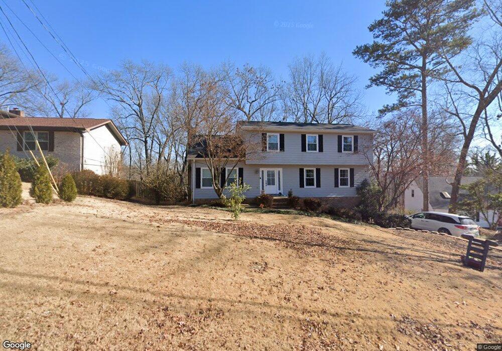
1921 Rock Bluff Rd Unit 432 Hixson, TN 37343
Estimated Value: $384,000 - $448,000
--
Bed
1
Bath
2,714
Sq Ft
$154/Sq Ft
Est. Value
About This Home
This home is located at 1921 Rock Bluff Rd Unit 432, Hixson, TN 37343 and is currently estimated at $416,799, approximately $153 per square foot. 1921 Rock Bluff Rd Unit 432 is a home located in Hamilton County with nearby schools including McConnell Elementary School, Loftis Middle School, and Hixson High School.
Ownership History
Date
Name
Owned For
Owner Type
Purchase Details
Closed on
Nov 18, 2019
Sold by
Ware Robert A and Ware Tina T
Bought by
Barker Kent Anderw and Barker Victoria Joann
Current Estimated Value
Home Financials for this Owner
Home Financials are based on the most recent Mortgage that was taken out on this home.
Original Mortgage
$140,000
Interest Rate
3.6%
Mortgage Type
New Conventional
Create a Home Valuation Report for This Property
The Home Valuation Report is an in-depth analysis detailing your home's value as well as a comparison with similar homes in the area
Home Values in the Area
Average Home Value in this Area
Purchase History
| Date | Buyer | Sale Price | Title Company |
|---|---|---|---|
| Barker Kent Anderw | $200,000 | Foundation T&E Chattanooga |
Source: Public Records
Mortgage History
| Date | Status | Borrower | Loan Amount |
|---|---|---|---|
| Previous Owner | Barker Kent Anderw | $140,000 |
Source: Public Records
Tax History Compared to Growth
Tax History
| Year | Tax Paid | Tax Assessment Tax Assessment Total Assessment is a certain percentage of the fair market value that is determined by local assessors to be the total taxable value of land and additions on the property. | Land | Improvement |
|---|---|---|---|---|
| 2024 | $1,341 | $59,950 | $0 | $0 |
| 2023 | $1,350 | $59,950 | $0 | $0 |
| 2022 | $1,350 | $59,950 | $0 | $0 |
| 2021 | $1,350 | $59,950 | $0 | $0 |
| 2020 | $1,393 | $50,050 | $0 | $0 |
| 2019 | $1,393 | $50,050 | $0 | $0 |
| 2018 | $1,393 | $50,050 | $0 | $0 |
| 2017 | $1,393 | $50,050 | $0 | $0 |
| 2016 | $1,214 | $0 | $0 | $0 |
| 2015 | $1,214 | $43,575 | $0 | $0 |
| 2014 | $1,214 | $0 | $0 | $0 |
Source: Public Records
Map
Nearby Homes
- 1820 Rock Bluff Rd
- 1705 Sea Gull Ln
- 1800 Mountain Bay Dr
- 1706 Mountain Bay Dr
- 6517 Shelter Cove Dr
- 6577 Fairview Rd
- 1924 Bay Pointe Dr
- 6512 Fairview Rd
- 2227 Bay Pointe Dr
- 000 Hixson Pike
- 7551 Foster Hixson Cemetery Rd
- Hamilton Plan at The Farmstead - Courtyard Homes
- Delaney Plan at The Farmstead - Courtyard Homes
- Lincoln Plan at The Farmstead - Courtyard Homes
- Cumberland Plan at The Farmstead - Courtyard Homes
- Everwood Plan at The Farmstead - Backyard Homes
- Oxford Plan at The Farmstead - Backyard Homes
- Yosemite Plan at The Farmstead - Backyard Homes
- Roosevelt Plan at The Farmstead - Backyard Homes
- Adele Plan at The Farmstead - Courtyard Homes
- 1921 Rock Bluff Rd
- 1919 Rock Bluff Rd
- 1923 Rock Bluff Rd
- 1915 Rock Bluff Rd
- 1915 Rock Bluff Rd Unit 432
- 6622 White Sands Ln
- 1922 Rock Bluff Rd Unit 4
- 6624 White Sands Ln Unit 7
- 6624 White Sands Ln Unit 731
- 1916 Rock Bluff Rd
- 1924 Rock Bluff Rd
- 6603 Schooner Bay Ln
- 6620 White Sands Ln
- 1913 Rock Bluff Rd
- 1913 Rock Bluff Rd Unit 432
- 6607 Schooner Bay Ln Unit 6
- 1912 Rock Bluff Rd
- 6524 Shallowmar Ln
- 6609 Schooner Bay Ln
- 1926 Rock Bluff Rd