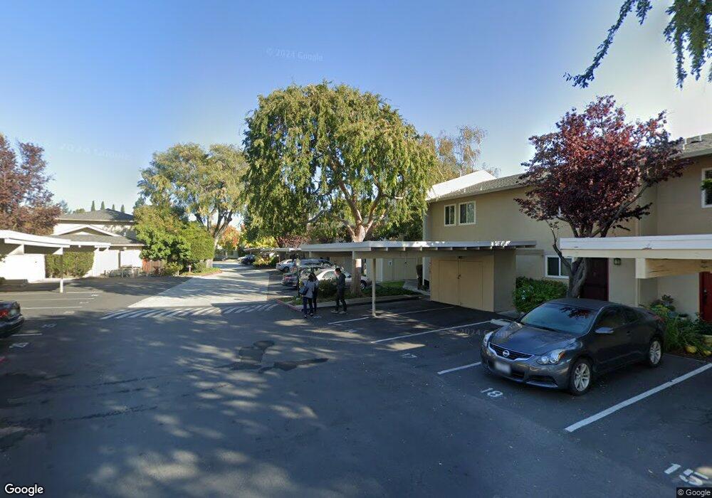
1921 Rock St Unit 23 Mountain View, CA 94043
Monta Loma NeighborhoodEstimated Value: $833,879 - $1,025,000
2
Beds
2
Baths
972
Sq Ft
$944/Sq Ft
Est. Value
About This Home
This home is located at 1921 Rock St Unit 23, Mountain View, CA 94043 and is currently estimated at $917,470, approximately $943 per square foot. 1921 Rock St Unit 23 is a home located in Santa Clara County with nearby schools including Monta Loma Elementary School, Crittenden Middle School, and Los Altos High School.
Ownership History
Date
Name
Owned For
Owner Type
Purchase Details
Closed on
Dec 15, 2009
Sold by
Peterson Leslie J
Bought by
Peterson Leslie Jean
Current Estimated Value
Purchase Details
Closed on
Apr 2, 2002
Sold by
Rich Robert M and Rich Clair L
Bought by
Peterson Leslie J
Home Financials for this Owner
Home Financials are based on the most recent Mortgage that was taken out on this home.
Original Mortgage
$287,000
Interest Rate
6.5%
Purchase Details
Closed on
Jan 29, 1997
Sold by
Razura Susan D and Diana Susan
Bought by
Rich Robert M and Rich Clair L
Home Financials for this Owner
Home Financials are based on the most recent Mortgage that was taken out on this home.
Original Mortgage
$141,550
Interest Rate
7.74%
Create a Home Valuation Report for This Property
The Home Valuation Report is an in-depth analysis detailing your home's value as well as a comparison with similar homes in the area
Home Values in the Area
Average Home Value in this Area
Purchase History
| Date | Buyer | Sale Price | Title Company |
|---|---|---|---|
| Peterson Leslie Jean | -- | None Available | |
| Peterson Leslie J | $319,000 | First American Title Guarant | |
| Rich Robert M | $149,000 | Stewart Title |
Source: Public Records
Mortgage History
| Date | Status | Borrower | Loan Amount |
|---|---|---|---|
| Previous Owner | Peterson Leslie J | $287,000 | |
| Previous Owner | Rich Robert M | $141,550 |
Source: Public Records
Tax History
| Year | Tax Paid | Tax Assessment Tax Assessment Total Assessment is a certain percentage of the fair market value that is determined by local assessors to be the total taxable value of land and additions on the property. | Land | Improvement |
|---|---|---|---|---|
| 2025 | $5,464 | $471,239 | $295,451 | $175,788 |
| 2024 | $5,464 | $462,000 | $289,658 | $172,342 |
| 2023 | $5,391 | $452,942 | $283,979 | $168,963 |
| 2022 | $5,375 | $444,061 | $278,411 | $165,650 |
| 2021 | $5,247 | $435,354 | $272,952 | $162,402 |
| 2020 | $5,333 | $430,891 | $270,154 | $160,737 |
| 2019 | $5,014 | $422,443 | $264,857 | $157,586 |
| 2018 | $5,165 | $414,161 | $259,664 | $154,497 |
| 2017 | $4,937 | $406,041 | $254,573 | $151,468 |
| 2016 | $4,759 | $398,081 | $249,582 | $148,499 |
| 2015 | $4,639 | $392,103 | $245,834 | $146,269 |
| 2014 | $4,584 | $384,423 | $241,019 | $143,404 |
Source: Public Records
Map
Nearby Homes
- 1926 Stella St
- 765 N Rengstorff Ave Unit 19
- 1901 W Middlefield Rd
- 701 N Rengstorff Ave Unit 20
- 436 Sierra Vista Ave Unit 6
- 853B Sierra Vista Ave
- 2041 Atlas Loop
- 2064 Rialto Ct
- 1951 Plymouth St
- 2112 Windrose Place Unit 2112
- 2110 Windrose Place Unit 2110
- 888 N Rengstorff Ave
- 347 N Rengstorff Ave
- 1208 San Ramon Ave
- 290 N Rengstorff Ave
- 2047 Montecito Ave Unit 2
- 1950 Hackett Ave
- 1 Comstock Queen Ct
- 206 Thompson Ave
- 1109 Wright Ave
- 1921 Rock St Unit 13
- 1921 Rock St Unit 11
- 1921 Rock St
- 1921 Rock St Unit 32
- 1921 Rock St Unit 31
- 1921 Rock St Unit 30
- 1921 Rock St Unit 29
- 1921 Rock St Unit 28
- 1921 Rock St Unit 27
- 1921 Rock St Unit 26
- 1921 Rock St Unit 25
- 1921 Rock St Unit 24
- 1921 Rock St Unit 22
- 1921 Rock St Unit 21
- 1921 Rock St Unit 20
- 1921 Rock St Unit 19
- 1921 Rock St Unit 18
- 1921 Rock St Unit 17
- 1921 Rock St Unit 16
- 1921 Rock St Unit 15
Your Personal Tour Guide
Ask me questions while you tour the home.