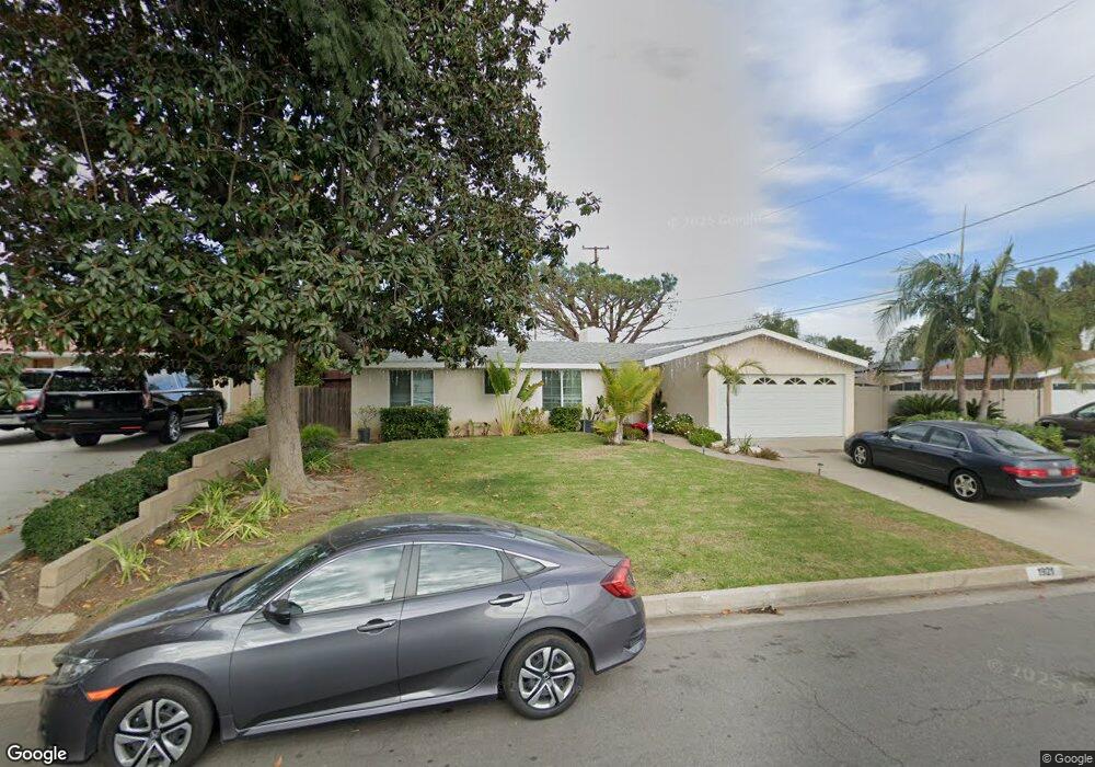
1921 W Summerland St Rancho Palos Verdes, CA 90275
Estimated Value: $1,208,136 - $1,438,000
3
Beds
3
Baths
2,064
Sq Ft
$645/Sq Ft
Est. Value
About This Home
This home is located at 1921 W Summerland St, Rancho Palos Verdes, CA 90275 and is currently estimated at $1,331,534, approximately $645 per square foot. 1921 W Summerland St is a home located in Los Angeles County with nearby schools including Crestwood Street Elementary School, Park Western Place Elementary School, and Mira Catalina Elementary School.
Ownership History
Date
Name
Owned For
Owner Type
Purchase Details
Closed on
Feb 28, 2024
Sold by
Camacho Christine Nancy
Bought by
Trust Of Christine Nancy Camacho and Camacho
Current Estimated Value
Purchase Details
Closed on
Nov 8, 2011
Sold by
Kaye Alvin and Kaye Alvin
Bought by
Camacho Christine Nancy
Home Financials for this Owner
Home Financials are based on the most recent Mortgage that was taken out on this home.
Original Mortgage
$554,490
Interest Rate
4.4%
Mortgage Type
FHA
Purchase Details
Closed on
May 24, 2002
Sold by
Kaye Alvin and Kaye Alvin
Bought by
Kaye Alvin and Kaye Alvin
Purchase Details
Closed on
Mar 14, 1996
Sold by
Kaye Alvin and Kaye Miriam
Bought by
Kaye Alvin and Kaye Miriam
Create a Home Valuation Report for This Property
The Home Valuation Report is an in-depth analysis detailing your home's value as well as a comparison with similar homes in the area
Home Values in the Area
Average Home Value in this Area
Purchase History
| Date | Buyer | Sale Price | Title Company |
|---|---|---|---|
| Trust Of Christine Nancy Camacho | -- | None Listed On Document | |
| Camacho Christine Nancy | $610,000 | Fidelity National Title Co | |
| Kaye Alvin | -- | -- | |
| Kaye Alvin | -- | -- |
Source: Public Records
Mortgage History
| Date | Status | Borrower | Loan Amount |
|---|---|---|---|
| Previous Owner | Camacho Christine Nancy | $554,490 |
Source: Public Records
Tax History Compared to Growth
Tax History
| Year | Tax Paid | Tax Assessment Tax Assessment Total Assessment is a certain percentage of the fair market value that is determined by local assessors to be the total taxable value of land and additions on the property. | Land | Improvement |
|---|---|---|---|---|
| 2025 | $9,601 | $766,179 | $612,948 | $153,231 |
| 2024 | $9,601 | $751,157 | $600,930 | $150,227 |
| 2023 | $9,336 | $736,430 | $589,148 | $147,282 |
| 2022 | $8,880 | $721,992 | $577,597 | $144,395 |
| 2021 | $8,780 | $707,836 | $566,272 | $141,564 |
| 2019 | $8,498 | $686,843 | $549,477 | $137,366 |
| 2018 | $8,375 | $673,376 | $538,703 | $134,673 |
| 2016 | $8,026 | $647,231 | $517,786 | $129,445 |
| 2015 | $8,023 | $637,510 | $510,009 | $127,501 |
| 2014 | $8,022 | $625,023 | $500,019 | $125,004 |
Source: Public Records
Map
Nearby Homes
- 29641 S Western Ave Unit 213
- 29641 S Western Ave Unit 417
- 29641 S Western Ave Unit 411
- 29641 S Western Ave Unit 211
- 29641 S Western Ave Unit 310
- 1721 W Santa Cruz St
- 2038 Noble View Dr
- 226 N Western Ave
- 1522 W 1st St
- 303 N Trotwood Ave
- 221 N Harbor View Ave
- 1971 W Santa Cruz St
- 378 S Miraleste Dr Unit 431
- 370 S Miraleste Dr Unit 390
- 396 S Miraleste Dr Unit 512
- 394 S Miraleste Dr Unit 496
- 372 S Miraleste Dr Unit 398
- 358 S Miraleste Dr Unit 333
- 330 S Miraleste Dr Unit 216
- 356 S Miraleste Dr Unit 327
- 1929 W Summerland St
- 1915 W Summerland St
- 2016 W General St
- 2008 W General St
- 2022 W General St
- 1935 W Summerland St
- 1909 W Summerland St
- 1924 W Summerland St
- 2002 W General St
- 2030 W General St
- 1914 W Summerland St
- 1947 W Summerland St
- 1994 W General St
- 1912 W Summerland St
- 1754 W Ofarrell St
- 2036 W General St
- 2019 W General St
- 2013 W General St
- 1957 W Summerland St
- 2025 W General St