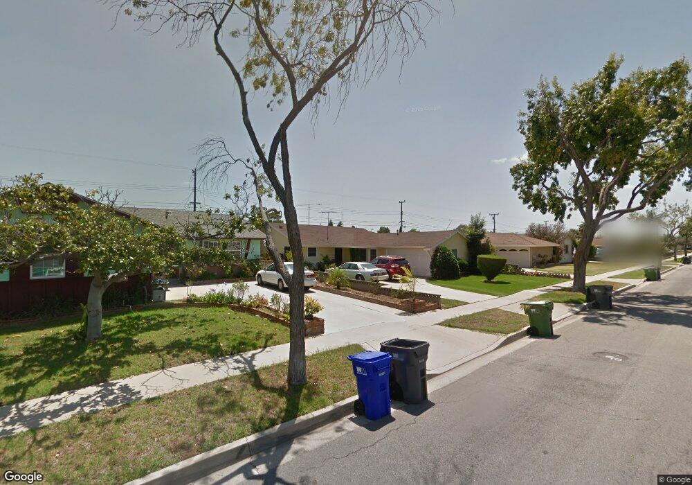
19214 Campaign Dr Carson, CA 90746
Estimated Value: $765,437 - $857,000
3
Beds
2
Baths
1,465
Sq Ft
$560/Sq Ft
Est. Value
About This Home
This home is located at 19214 Campaign Dr, Carson, CA 90746 and is currently estimated at $820,859, approximately $560 per square foot. 19214 Campaign Dr is a home located in Los Angeles County with nearby schools including Leapwood Avenue Elementary School, Glenn Hammond Curtiss Middle School, and Rancho Dominguez Preparatory School.
Ownership History
Date
Name
Owned For
Owner Type
Purchase Details
Closed on
Dec 30, 2010
Sold by
Ruby George Richard
Bought by
Ruby George Richard and Ruby Edith Carolyn
Current Estimated Value
Home Financials for this Owner
Home Financials are based on the most recent Mortgage that was taken out on this home.
Original Mortgage
$508,500
Interest Rate
4.35%
Mortgage Type
Reverse Mortgage Home Equity Conversion Mortgage
Purchase Details
Closed on
Dec 9, 2010
Sold by
Ruby Edith Carolyn
Bought by
Ruby George Richard
Home Financials for this Owner
Home Financials are based on the most recent Mortgage that was taken out on this home.
Original Mortgage
$508,500
Interest Rate
4.35%
Mortgage Type
Reverse Mortgage Home Equity Conversion Mortgage
Create a Home Valuation Report for This Property
The Home Valuation Report is an in-depth analysis detailing your home's value as well as a comparison with similar homes in the area
Home Values in the Area
Average Home Value in this Area
Purchase History
| Date | Buyer | Sale Price | Title Company |
|---|---|---|---|
| Ruby George Richard | -- | Nations Title Company Of Ca | |
| Ruby George Richard | -- | Nations Title Company Of Ca |
Source: Public Records
Mortgage History
| Date | Status | Borrower | Loan Amount |
|---|---|---|---|
| Previous Owner | Ruby George Richard | $508,500 |
Source: Public Records
Tax History
| Year | Tax Paid | Tax Assessment Tax Assessment Total Assessment is a certain percentage of the fair market value that is determined by local assessors to be the total taxable value of land and additions on the property. | Land | Improvement |
|---|---|---|---|---|
| 2025 | $3,149 | $196,783 | $72,283 | $124,500 |
| 2024 | $3,149 | $192,925 | $70,866 | $122,059 |
| 2023 | $2,993 | $189,143 | $69,477 | $119,666 |
| 2022 | $2,853 | $185,435 | $68,115 | $117,320 |
| 2021 | $2,814 | $181,800 | $66,780 | $115,020 |
| 2020 | $2,875 | $179,937 | $66,096 | $113,841 |
| 2019 | $2,709 | $176,409 | $64,800 | $111,609 |
| 2018 | $2,621 | $172,951 | $63,530 | $109,421 |
| 2016 | $2,572 | $166,237 | $61,064 | $105,173 |
| 2015 | $2,393 | $163,741 | $60,147 | $103,594 |
| 2014 | $2,506 | $160,534 | $58,969 | $101,565 |
Source: Public Records
Map
Nearby Homes
- 19202 Campaign Dr
- 19221 Scobey Ave
- 19603 Enslow Dr
- 19426 Belshaw Ave
- 19327 Galway Ave
- 879 E Turmont St
- 19012 Tillman Ave
- 19717 Alonda Dr
- 20019 Belshaw Ave
- 20109 Annalee Ave
- 20222 Belshaw Ave
- 18325 Mettler Ave
- 1351 E Bankers Dr
- 900 E Sagebank St
- 19103 Hillford Ave
- 19008 Hillford Ave
- 17700 Avalon Blvd Unit 387
- 17815 Lysander Dr
- 966 Apricot Way
- 910 E Meadbrook St
- 19208 Campaign Dr
- 19220 Campaign Dr
- 19215 Enslow Dr
- 19221 Enslow Dr
- 19209 Enslow Dr
- 19302 Campaign Dr
- 19303 Enslow Dr
- 19203 Enslow Dr
- 19215 Campaign Dr
- 19209 Campaign Dr
- 19221 Campaign Dr
- 19308 Campaign Dr
- 19303 Campaign Dr
- 19203 Campaign Dr
- 19309 Enslow Dr
- 19314 Campaign Dr
- 19309 Campaign Dr
- 19116 Campaign Dr
- 19214 Enslow Dr
- 19220 Enslow Dr
Your Personal Tour Guide
Ask me questions while you tour the home.