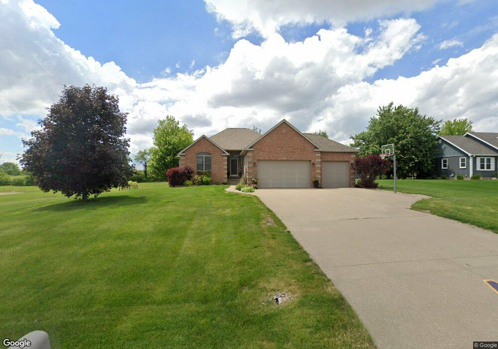
1922 Ashford Ave Muscatine, IA 52761
Estimated Value: $400,000 - $455,000
4
Beds
5
Baths
1,743
Sq Ft
$244/Sq Ft
Est. Value
About This Home
This home is located at 1922 Ashford Ave, Muscatine, IA 52761 and is currently estimated at $425,333, approximately $244 per square foot. 1922 Ashford Ave is a home located in Muscatine County with nearby schools including Mulberry Elementary School, Susan Clark Junior High School, and Muscatine High School.
Ownership History
Date
Name
Owned For
Owner Type
Purchase Details
Closed on
Aug 8, 2018
Sold by
Holdorf Dennis R and Holdorf Judi A
Bought by
Harms Chelsea R and Harms David F
Current Estimated Value
Home Financials for this Owner
Home Financials are based on the most recent Mortgage that was taken out on this home.
Original Mortgage
$247,000
Outstanding Balance
$214,509
Interest Rate
4.5%
Mortgage Type
New Conventional
Estimated Equity
$210,824
Purchase Details
Closed on
Apr 5, 2008
Sold by
Howe Jeffrey T and Howe Jean M
Bought by
Holdorf Dennis R
Home Financials for this Owner
Home Financials are based on the most recent Mortgage that was taken out on this home.
Original Mortgage
$54,000
Interest Rate
6.32%
Mortgage Type
Future Advance Clause Open End Mortgage
Create a Home Valuation Report for This Property
The Home Valuation Report is an in-depth analysis detailing your home's value as well as a comparison with similar homes in the area
Home Values in the Area
Average Home Value in this Area
Purchase History
| Date | Buyer | Sale Price | Title Company |
|---|---|---|---|
| Harms Chelsea R | $327,000 | None Available | |
| Holdorf Dennis R | $289,500 | None Available |
Source: Public Records
Mortgage History
| Date | Status | Borrower | Loan Amount |
|---|---|---|---|
| Open | Harms Chelsea R | $247,000 | |
| Previous Owner | Holdorf Dennis R | $54,000 |
Source: Public Records
Tax History Compared to Growth
Tax History
| Year | Tax Paid | Tax Assessment Tax Assessment Total Assessment is a certain percentage of the fair market value that is determined by local assessors to be the total taxable value of land and additions on the property. | Land | Improvement |
|---|---|---|---|---|
| 2025 | $4,452 | $368,280 | $52,790 | $315,490 |
| 2024 | $4,452 | $368,240 | $52,790 | $315,450 |
| 2023 | $4,596 | $370,502 | $52,788 | $317,714 |
| 2022 | $4,376 | $341,610 | $49,800 | $291,810 |
| 2021 | $4,376 | $319,460 | $49,800 | $269,660 |
| 2020 | $4,316 | $300,710 | $49,980 | $250,730 |
| 2019 | $4,354 | $294,810 | $0 | $0 |
| 2018 | $4,224 | $294,810 | $0 | $0 |
| 2017 | $4,224 | $301,810 | $0 | $0 |
| 2016 | $4,540 | $301,810 | $0 | $0 |
| 2015 | $4,540 | $297,800 | $0 | $0 |
| 2014 | $4,518 | $297,800 | $0 | $0 |
Source: Public Records
Map
Nearby Homes
- 1899 Ashford Ave
- 1895 Ashford Ave
- LOT M8 Whispering Pines
- LOT M7 Whispering Pines
- 2582 Canterbury Rd
- 2622 Bayfield Rd
- 2605 Anna Elizabeth
- 2609 Anna Elizabeth
- 2613 Anna Elizabeth
- 2617 Anna Elizabeth
- 2623 Anna Elizabeth
- 2610 Anna Elizabeth
- 2604 Anna Elizabeth
- 2612 Anna Elizabeth
- 2618 Anna Elizabeth
- 601 Aspen Trail
- LOT 14 B Aspen Trail
- LOT 22 B Aspen Trail
- LOT 15 B Aspen Trail
- 0 Aspen Trail
- 1920 Ashford Ave
- 1913 Ashford Ave
- 1915 Ashford Ave
- 1918 Ashford Ave
- 1911 Ashford Ave
- 1909 Ashford Ave
- LOT 18A Whispering Pines
- 1907 Ashford Ave
- 1938 Cranbrook Cross
- 1916 Ashford Ave
- 1905 Ashford Ave
- 1914 Ashford Ave
- LOT 18B Whispering Pines
- 1919 Ashford Ave
- 1903 Ashford Ave
- 1912 Ashford Ave
- 18B Whispering Pines
- 1940 Cranbrook Cross
- 1901 Ashford Ave
- 1921 Ashford Ave