1922 Highway 142 E Covington, GA 30014
Estimated Value: $360,000 - $440,000
Studio
3
Baths
2,002
Sq Ft
$201/Sq Ft
Est. Value
About This Home
This home is located at 1922 Highway 142 E, Covington, GA 30014 and is currently estimated at $401,860, approximately $200 per square foot. 1922 Highway 142 E is a home with nearby schools including Mansfield Elementary School, Indian Creek Middle School, and Eastside High School.
Ownership History
Date
Name
Owned For
Owner Type
Purchase Details
Closed on
Jun 14, 2017
Sold by
Smith Mary T
Bought by
Justice Kenneth J and Justice Teri A
Current Estimated Value
Purchase Details
Closed on
Oct 21, 2016
Sold by
Smith Mary T
Bought by
Smith Mary T and Smith Michael D
Home Financials for this Owner
Home Financials are based on the most recent Mortgage that was taken out on this home.
Original Mortgage
$179,312
Interest Rate
3.87%
Mortgage Type
FHA
Purchase Details
Closed on
Feb 24, 2005
Sold by
Smith Mary T
Bought by
Smith Mary T and Smith Michael
Home Financials for this Owner
Home Financials are based on the most recent Mortgage that was taken out on this home.
Original Mortgage
$227,766
Interest Rate
5.61%
Mortgage Type
VA
Create a Home Valuation Report for This Property
The Home Valuation Report is an in-depth analysis detailing your home's value as well as a comparison with similar homes in the area
Home Values in the Area
Average Home Value in this Area
Purchase History
| Date | Buyer | Sale Price | Title Company |
|---|---|---|---|
| Justice Kenneth J | $70,000 | -- | |
| Smith Mary T | -- | -- | |
| Smith Mary T | -- | -- |
Source: Public Records
Mortgage History
| Date | Status | Borrower | Loan Amount |
|---|---|---|---|
| Previous Owner | Smith Mary T | $179,312 | |
| Previous Owner | Smith Mary T | $227,766 |
Source: Public Records
Tax History
| Year | Tax Paid | Tax Assessment Tax Assessment Total Assessment is a certain percentage of the fair market value that is determined by local assessors to be the total taxable value of land and additions on the property. | Land | Improvement |
|---|---|---|---|---|
| 2025 | $3,489 | $146,680 | $38,880 | $107,800 |
| 2024 | $3,410 | $138,480 | $38,880 | $99,600 |
| 2023 | $3,470 | $131,760 | $38,880 | $92,880 |
| 2022 | $2,791 | $106,720 | $35,160 | $71,560 |
| 2021 | $2,341 | $81,080 | $19,440 | $61,640 |
| 2020 | $2,275 | $71,600 | $19,440 | $52,160 |
| 2019 | $2,397 | $74,160 | $19,440 | $54,720 |
| 2018 | $2,322 | $71,520 | $19,440 | $52,080 |
| 2017 | $2,594 | $79,440 | $38,960 | $40,480 |
| 2016 | $1,388 | $68,760 | $28,280 | $40,480 |
| 2015 | $1,433 | $71,360 | $29,440 | $41,920 |
| 2014 | $1,362 | $66,760 | $0 | $0 |
Source: Public Records
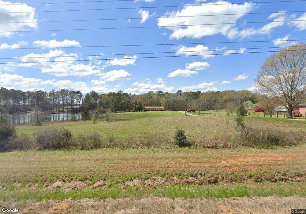
Map
Nearby Homes
- 1966 Georgia 142
- 1966 Highway 142 E
- 1530 Highway 11 S
- Tract6 Adams Rd
- 0 Adams Rd Unit 7685218
- 0 Adams Rd Unit 7685226
- 0 Adams Rd Unit TRACT 5
- 0 Adams Rd Unit TRACT 4
- 0 Adams Rd Unit TRACT 6
- 0 Adams Rd Unit TRACT 7
- 0 Adams Rd Unit 7685231
- 20 Wood Lawn Springs Trail
- 788 S Hwy 11
- 1187 Dixie Rd
- 147 Cobb Rd
- 50 Hidden Forest Rd
- 1050 Skyline Dr
- 95 Dixie Trail
- 1500 Pine Forest Rd
- 10 Nicklaus Cir
- 1920 Highway 142 E
- 1912 Highway 142 E
- 1882 Highway 142 E
- 2018 Highway 142 E
- 1875 Georgia 142
- 7362 Cranleigh St
- 7366 Cranleigh St
- 7308 Cranleigh St
- 7337 Cranleigh St
- 7305 Cranleigh St
- 7313 Cranleigh St
- 7333 Cranleigh St
- 7350 Cranleigh St
- 7321 Cranleigh St
- 7219 Downham Way
- 7218 Downham Way
- 0 Highway 142 E
- 85 Breedlove Ln
- 91 Breedlove Ln
- 185 Breedlove Ln