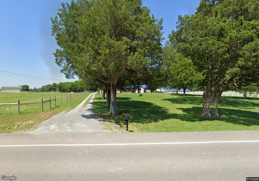
1922 Highway 64 W Shelbyville, TN 37160
Estimated Value: $383,000 - $499,000
--
Bed
2
Baths
2,932
Sq Ft
$152/Sq Ft
Est. Value
About This Home
This home is located at 1922 Highway 64 W, Shelbyville, TN 37160 and is currently estimated at $444,489, approximately $151 per square foot. 1922 Highway 64 W is a home located in Bedford County with nearby schools including Liberty Elementary School and Shelbyville Central High School.
Ownership History
Date
Name
Owned For
Owner Type
Purchase Details
Closed on
Aug 1, 2024
Sold by
Douglas Karen A
Bought by
Barker Scott L
Current Estimated Value
Purchase Details
Closed on
Sep 16, 2020
Sold by
Pastrana Pamela and Bowman Pamela Ann
Bought by
Douglas Karen A
Purchase Details
Closed on
May 11, 2016
Sold by
Pastrana Victor
Bought by
Pastrana Pamela
Purchase Details
Closed on
Mar 12, 2013
Sold by
Blackburn Johnnie B
Bought by
Pastrana Victor A and Pastrana Pamela
Purchase Details
Closed on
Mar 14, 2008
Sold by
West April L
Bought by
Blackburn Johnnie B
Purchase Details
Closed on
Sep 25, 2001
Sold by
Gambill Gale
Bought by
West April L
Home Financials for this Owner
Home Financials are based on the most recent Mortgage that was taken out on this home.
Original Mortgage
$217,417
Interest Rate
6.89%
Purchase Details
Closed on
Jun 20, 2001
Bought by
Gambill Gale
Purchase Details
Closed on
Apr 7, 1954
Bought by
Hopper James V and Alma Ray
Create a Home Valuation Report for This Property
The Home Valuation Report is an in-depth analysis detailing your home's value as well as a comparison with similar homes in the area
Home Values in the Area
Average Home Value in this Area
Purchase History
| Date | Buyer | Sale Price | Title Company |
|---|---|---|---|
| Barker Scott L | $350,000 | None Listed On Document | |
| Douglas Karen A | $150,000 | None Available | |
| Pastrana Pamela | -- | -- | |
| Pastrana Victor A | $308,500 | -- | |
| Blackburn Johnnie B | $100,000 | -- | |
| West April L | $315,000 | -- | |
| Gambill Gale | $165,000 | -- | |
| Hopper James V | -- | -- |
Source: Public Records
Mortgage History
| Date | Status | Borrower | Loan Amount |
|---|---|---|---|
| Previous Owner | Hopper James V | $217,417 |
Source: Public Records
Tax History Compared to Growth
Tax History
| Year | Tax Paid | Tax Assessment Tax Assessment Total Assessment is a certain percentage of the fair market value that is determined by local assessors to be the total taxable value of land and additions on the property. | Land | Improvement |
|---|---|---|---|---|
| 2025 | $1,861 | $5,950 | $0 | $0 |
| 2024 | $1,861 | $80,050 | $11,600 | $68,450 |
| 2023 | $1,861 | $80,050 | $11,600 | $68,450 |
| 2022 | $1,861 | $80,050 | $11,600 | $68,450 |
| 2021 | $1,573 | $80,050 | $11,600 | $68,450 |
| 2020 | $1,088 | $80,050 | $11,600 | $68,450 |
| 2019 | $973 | $36,575 | $10,025 | $26,550 |
| 2018 | $739 | $28,850 | $10,025 | $18,825 |
| 2017 | $739 | $28,850 | $10,025 | $18,825 |
| 2016 | $727 | $28,850 | $0 | $0 |
| 2015 | $727 | $55,875 | $0 | $0 |
| 2014 | $1,172 | $51,640 | $0 | $0 |
Source: Public Records
Map
Nearby Homes
- 163 Gant Rd
- 245 Henslee Rd
- 0 Sims Rd
- 3018 Sims Rd
- 3014 Sims Rd
- 2154 Highway 64 W
- 422 Bethlehem Church Rd
- 0 Henderson Rd
- 260 Comstock Rd
- 320 Pass Rd
- 0 Bethlehem Church Rd
- 5 Mount Lebanon Church Rd
- 6 Mount Lebanon Church Rd
- 8 Mount Lebanon Church Rd
- 7 Mount Lebanon Church Rd
- 395 Harrison Rd
- 0 Knight Campground Rd
- 3 Knight Campground Rd
- 5 Pass Rd
- 4 Pass Rd
- 1922 Tennessee 64
- 1918 Tennessee 64
- 1928 Highway 64 W
- 1915 Highway 64 W
- 1910 Highway 64 W
- 1909 Highway 64 W
- 1925 Highway 64 W
- 1938 Highway 64 W
- 1937 Highway 64 W
- 1937 Highway 64 W
- 1802 Highway 64 W
- 1941 Tennessee 64
- 1948 Highway 64 W
- 1837 Highway 64 W
- 1837 Tennessee 64
- 1830 Highway 64 W
- 111 Bethlehem Church Rd
- 2010 Highway 64 W
- 2010 Highway 64 W
- 1816 Highway 64 W