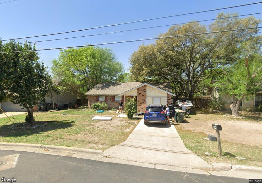
1922 Nevada St San Marcos, TX 78666
Castle Forest NeighborhoodEstimated Value: $248,660 - $272,000
--
Bed
--
Bath
1,110
Sq Ft
$233/Sq Ft
Est. Value
About This Home
This home is located at 1922 Nevada St, San Marcos, TX 78666 and is currently estimated at $258,415, approximately $232 per square foot. 1922 Nevada St is a home located in Hays County with nearby schools including Crockett Elementary School, Dorris Miller Middle School, and San Marcos High School.
Ownership History
Date
Name
Owned For
Owner Type
Purchase Details
Closed on
Mar 17, 2016
Sold by
Whitlock Nina C
Bought by
Dela Cruz Michael S
Current Estimated Value
Purchase Details
Closed on
Mar 1, 2002
Sold by
Schulte Randy G
Bought by
Whitlock Nina C
Home Financials for this Owner
Home Financials are based on the most recent Mortgage that was taken out on this home.
Original Mortgage
$69,350
Interest Rate
5.96%
Mortgage Type
Seller Take Back
Purchase Details
Closed on
Apr 15, 1999
Sold by
Ferrill-Moseley Kimberly
Bought by
Dela Cruz Michael S
Create a Home Valuation Report for This Property
The Home Valuation Report is an in-depth analysis detailing your home's value as well as a comparison with similar homes in the area
Home Values in the Area
Average Home Value in this Area
Purchase History
| Date | Buyer | Sale Price | Title Company |
|---|---|---|---|
| Dela Cruz Michael S | -- | San Marcos Title Co | |
| Whitlock Nina C | -- | -- | |
| Dela Cruz Michael S | -- | -- |
Source: Public Records
Mortgage History
| Date | Status | Borrower | Loan Amount |
|---|---|---|---|
| Previous Owner | Whitlock Nina C | $69,350 |
Source: Public Records
Tax History Compared to Growth
Tax History
| Year | Tax Paid | Tax Assessment Tax Assessment Total Assessment is a certain percentage of the fair market value that is determined by local assessors to be the total taxable value of land and additions on the property. | Land | Improvement |
|---|---|---|---|---|
| 2025 | $5,707 | $270,174 | $68,380 | $201,794 |
| 2024 | $5,707 | $289,970 | $68,380 | $221,590 |
| 2023 | $5,759 | $302,810 | $68,380 | $234,430 |
| 2022 | $4,762 | $232,360 | $62,110 | $170,250 |
| 2021 | $3,580 | $162,430 | $37,150 | $125,280 |
| 2020 | $3,422 | $155,250 | $36,400 | $118,850 |
| 2019 | $3,444 | $139,900 | $36,400 | $103,500 |
| 2018 | $3,160 | $127,790 | $22,000 | $105,790 |
| 2017 | $2,823 | $117,410 | $15,950 | $101,460 |
| 2016 | $2,659 | $110,600 | $15,950 | $94,650 |
| 2015 | $2,113 | $105,040 | $15,950 | $89,090 |
Source: Public Records
Map
Nearby Homes
- 1931 Lisa Ln
- 2003 Lisa Ln
- 1919 Castle Gate Cir
- 1837 Pearce Ct
- 1809 Pearce Ct
- 2007 Castle Gate Cir
- 1805 Ramona Cir
- 2203 Lancaster St
- 108 Dolly St
- 609 Chicago St
- 2022 Ridge View Dr
- 1610 Ramona Cir
- TBD LOT 2 Old Ranch Road 12
- TBD LOT 1 Old Ranch Road 12
- 1007 Earle St
- 412 Craddock Ave
- 0 Old Ranch Road 12
- 1108 Marlton St
- 140 Coers Dr
- 205 Hughson Dr
- 1924 Nevada St
- 1920 Nevada St
- 1926 Nevada St
- 1918 Nevada St
- 1909 Nevada St
- 1925 Lisa Ln
- 1927 Lisa Ln
- 1911 Nevada St
- 1916 Nevada St
- 1921 Lisa Ln
- 1907 Nevada St
- 1929 Lisa Ln
- 1913 Nevada St
- 1919 Lisa Ln
- 1928 Nevada St
- 1914 Nevada St
- 1904 Castle Gate Cir
- 1906 Castle Gate Cir
- 1917 Lisa Ln
- 1904 Castle Creek Dr