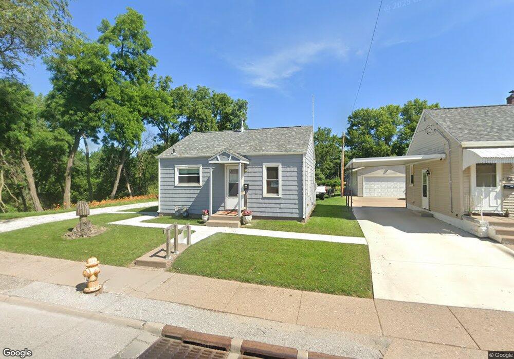
1922 W Locust St Davenport, IA 52804
Northwest Davenport NeighborhoodEstimated Value: $87,000 - $148,000
2
Beds
1
Bath
576
Sq Ft
$184/Sq Ft
Est. Value
About This Home
This home is located at 1922 W Locust St, Davenport, IA 52804 and is currently estimated at $106,256, approximately $184 per square foot. 1922 W Locust St is a home located in Scott County with nearby schools including South Christian Elementary School, Wilson Elementary School, and Christian County Day Treatment Center Alt.
Ownership History
Date
Name
Owned For
Owner Type
Purchase Details
Closed on
Jan 28, 2021
Sold by
Hamann Roger L
Bought by
Hamann Roger L and Roger L Hamann Revocable Trust
Current Estimated Value
Purchase Details
Closed on
Jan 20, 2011
Sold by
Horstman Ruth W
Bought by
Hamann Roger L
Create a Home Valuation Report for This Property
The Home Valuation Report is an in-depth analysis detailing your home's value as well as a comparison with similar homes in the area
Home Values in the Area
Average Home Value in this Area
Purchase History
| Date | Buyer | Sale Price | Title Company |
|---|---|---|---|
| Hamann Roger L | -- | None Available | |
| Hamann Roger L | $18,000 | None Available |
Source: Public Records
Tax History Compared to Growth
Tax History
| Year | Tax Paid | Tax Assessment Tax Assessment Total Assessment is a certain percentage of the fair market value that is determined by local assessors to be the total taxable value of land and additions on the property. | Land | Improvement |
|---|---|---|---|---|
| 2025 | $1,370 | $82,140 | $23,660 | $58,480 |
| 2024 | $1,338 | $76,710 | $23,660 | $53,050 |
| 2023 | $1,180 | $76,710 | $23,660 | $53,050 |
| 2022 | $1,150 | $55,270 | $20,710 | $34,560 |
| 2021 | $1,150 | $53,550 | $20,710 | $32,840 |
| 2020 | $1,120 | $51,550 | $20,710 | $30,840 |
| 2019 | $1,138 | $50,700 | $20,710 | $29,990 |
| 2018 | $1,064 | $50,700 | $20,710 | $29,990 |
| 2017 | $269 | $48,410 | $20,710 | $27,700 |
| 2016 | $1,016 | $46,410 | $0 | $0 |
| 2015 | $1,016 | $55,940 | $0 | $0 |
| 2014 | $1,242 | $55,940 | $0 | $0 |
| 2013 | $1,220 | $0 | $0 | $0 |
| 2012 | -- | $49,610 | $17,830 | $31,780 |
Source: Public Records
Map
Nearby Homes
- 2102 W 17th St
- 2103 W High St
- 1723 W Locust St
- 1922 N Pine St
- 1604 N Division St
- 2223 W Lombard St
- 1637 W Pleasant St
- 2308 Wilkes Ave
- 1658 W Lombard St
- 1419 N Division St
- 2221 Madison St
- 2417 W 18th St
- 2424 Davie St
- 1525 W High St
- 1517 W Lombard St
- 2015 Washington St
- 2508 N Sturdevant St
- 2640 Wilkes Ave
- 1505 W 14th St
- 1636 W Columbia Ave
- 1918 W Locust St
- 1914 W Locust St
- 1915 W Locust St
- 1908 N Howell St
- 1902 N Howell St
- 1918 N Howell St
- 1923 W Pleasant St
- 1919 W Pleasant St
- 1920 N Howell St
- 1923 W Locust St
- 1911 W Locust St
- 1919 W Locust St
- 1915 W Pleasant St
- 1926 N Howell St
- 1934 N Howell St
- 1736 N Howell St
- 2102 W Locust St
- 1936 N Howell St
- 1725 Pacific St
- 1734 N Howell St