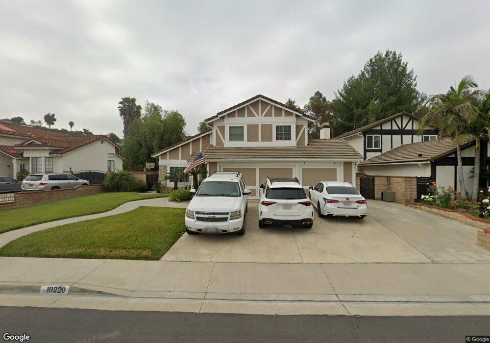
19220 Bel Air Dr Walnut, CA 91789
Estimated Value: $1,002,995 - $1,277,000
3
Beds
3
Baths
1,662
Sq Ft
$677/Sq Ft
Est. Value
About This Home
This home is located at 19220 Bel Air Dr, Walnut, CA 91789 and is currently estimated at $1,125,499, approximately $677 per square foot. 19220 Bel Air Dr is a home located in Los Angeles County with nearby schools including Stanley G. Oswalt Academy and Nogales High School.
Ownership History
Date
Name
Owned For
Owner Type
Purchase Details
Closed on
Oct 18, 2010
Sold by
Dee Suyapa C
Bought by
Dee Les I and Dee Suyapa C
Current Estimated Value
Home Financials for this Owner
Home Financials are based on the most recent Mortgage that was taken out on this home.
Original Mortgage
$372,000
Interest Rate
4.27%
Mortgage Type
New Conventional
Purchase Details
Closed on
Oct 19, 2005
Sold by
Dee Lee Ian
Bought by
Dee Suyapa C
Home Financials for this Owner
Home Financials are based on the most recent Mortgage that was taken out on this home.
Original Mortgage
$462,000
Interest Rate
5.74%
Mortgage Type
New Conventional
Create a Home Valuation Report for This Property
The Home Valuation Report is an in-depth analysis detailing your home's value as well as a comparison with similar homes in the area
Home Values in the Area
Average Home Value in this Area
Purchase History
| Date | Buyer | Sale Price | Title Company |
|---|---|---|---|
| Dee Les I | -- | Lsi Local Solutions | |
| Dee Suyapa C | -- | Security Union Title |
Source: Public Records
Mortgage History
| Date | Status | Borrower | Loan Amount |
|---|---|---|---|
| Closed | Dee Les I | $372,000 | |
| Closed | Dee Suyapa C | $462,000 |
Source: Public Records
Tax History Compared to Growth
Tax History
| Year | Tax Paid | Tax Assessment Tax Assessment Total Assessment is a certain percentage of the fair market value that is determined by local assessors to be the total taxable value of land and additions on the property. | Land | Improvement |
|---|---|---|---|---|
| 2025 | $7,263 | $537,180 | $330,409 | $206,771 |
| 2024 | $7,263 | $526,648 | $323,931 | $202,717 |
| 2023 | $6,981 | $516,323 | $317,580 | $198,743 |
| 2022 | $6,789 | $506,200 | $311,353 | $194,847 |
| 2021 | $6,681 | $496,276 | $305,249 | $191,027 |
| 2019 | $6,491 | $481,559 | $296,197 | $185,362 |
| 2018 | $6,205 | $472,118 | $290,390 | $181,728 |
| 2016 | $5,984 | $453,787 | $279,115 | $174,672 |
| 2015 | $5,811 | $446,972 | $274,923 | $172,049 |
| 2014 | $5,802 | $438,217 | $269,538 | $168,679 |
Source: Public Records
Map
Nearby Homes
- 19178 Bel Air Dr
- 3538 Bottlebrush Unit 33
- 3555 Bottlebrush
- 3545 Eucalyptus St
- 19019 Garnet Way
- 577 Chuck Wagon Cir
- 3616 Whittlers Ln
- 19569 Vista Hermosa Dr
- 3659 Agate Way Unit 199
- 3418 Peggy Ct
- 244 Calle Luna
- 19146 E Elberland St
- 3228 La Puente Rd
- 19440 Branding Iron Rd
- 3632 S Morganfield Ave
- 18820 Sutter Creek Dr
- 18855 Sutter Creek Dr
- 3316 S Gauntlet Dr
- 502 S Darney Ave
- 19110 Summit Ridge Dr
- 19210 Bel Air Dr
- 19230 Bel Air Dr
- 19200 Bel Air Dr
- 19240 Bel Air Dr
- 19215 Sable Ln
- 19201 Sable Ln
- 405 Palisade Way
- 19194 Bel Air Dr
- 19250 Bel Air Dr
- 400 Palisade Way
- 402 Mandeville Dr
- 19225 Sable Ln
- 19186 Bel Air Dr
- 435 Palisade Way
- 19260 Bel Air Dr
- 401 Crestwood Ln
- 416 Mandeville Dr
- 19235 Sable Ln
- 430 Palisade Way
- 19270 Bel Air Dr