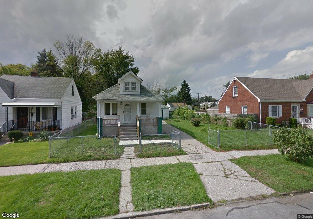
19221 Carrie St Detroit, MI 48234
Nortown NeighborhoodEstimated Value: $69,000 - $79,000
--
Bed
--
Bath
--
Sq Ft
3,049
Sq Ft Lot
About This Home
This home is located at 19221 Carrie St, Detroit, MI 48234 and is currently estimated at $74,000. 19221 Carrie St is a home located in Wayne County with nearby schools including Marion Law Academy, Edward 'Duke' Ellington Conservatory of Music and Art, and Charles L. Spain Elementary-Middle School.
Ownership History
Date
Name
Owned For
Owner Type
Purchase Details
Closed on
Jan 13, 2016
Sold by
Wayne County Treasurer
Bought by
Detroit Land Bank Authority
Current Estimated Value
Purchase Details
Closed on
May 18, 2011
Sold by
Secretary Of Housing & Urban Development
Bought by
Tate Felisha
Purchase Details
Closed on
Nov 3, 2010
Sold by
Sharpley Sally A
Bought by
Wells Fargo Bank Na
Purchase Details
Closed on
Nov 13, 2003
Sold by
Ivezaj Franz John
Bought by
Sharpley Sally A
Purchase Details
Closed on
Feb 4, 2003
Sold by
Bank Of New York
Bought by
Habitat For Humanity
Create a Home Valuation Report for This Property
The Home Valuation Report is an in-depth analysis detailing your home's value as well as a comparison with similar homes in the area
Home Values in the Area
Average Home Value in this Area
Purchase History
| Date | Buyer | Sale Price | Title Company |
|---|---|---|---|
| Detroit Land Bank Authority | -- | None Available | |
| Tate Felisha | $5,599 | None Available | |
| Wells Fargo Bank Na | $66,960 | None Available | |
| Sharpley Sally A | $68,900 | Colonial Title Company | |
| Habitat For Humanity | -- | -- |
Source: Public Records
Tax History Compared to Growth
Tax History
| Year | Tax Paid | Tax Assessment Tax Assessment Total Assessment is a certain percentage of the fair market value that is determined by local assessors to be the total taxable value of land and additions on the property. | Land | Improvement |
|---|---|---|---|---|
| 2025 | -- | $0 | $0 | $0 |
| 2024 | -- | $0 | $0 | $0 |
| 2023 | $0 | $0 | $0 | $0 |
| 2022 | $0 | $0 | $0 | $0 |
| 2021 | $0 | $0 | $0 | $0 |
| 2020 | $34 | $0 | $0 | $0 |
| 2019 | $34 | $0 | $0 | $0 |
| 2018 | $0 | $0 | $0 | $0 |
| 2017 | $30 | $0 | $0 | $0 |
| 2016 | $340 | $0 | $0 | $0 |
| 2015 | $30 | $300 | $0 | $0 |
| 2013 | $56 | $564 | $0 | $0 |
| 2010 | -- | $656 | $592 | $64 |
Source: Public Records
Map
Nearby Homes
- 19151 Helen St
- 19161 Rogge St
- 19202 Rogge St
- 19190 Rogge St
- 19320 Rogge St
- 19340 Rogge St
- 19178 Sherwood St
- 18699 Concord St
- 19357 Packard St
- 19363 Packard St
- 18824 Helen St
- 19440 Cliff St
- 7483 E Brentwood St
- 18818 Sherwood St
- 19423 Spencer St
- 19466 Packard St
- 18666 Carrie St
- 19487 Spencer St
- 18664 Sherwood St
- 19126 Stotter St
- 19218 Helen St
- 19212 Helen St
- 19215 Carrie St
- 19227 Carrie St
- 19230 Helen St
- 19209 Carrie St
- 19199 Carrie St
- 19202 Helen St
- 19191 Carrie St
- 19300 Helen St
- 19190 Helen St
- 19303 Carrie St
- 19184 Helen St
- 19183 Carrie St
- 19308 Helen St
- 19178 Helen St
- 19177 Carrie St
- 19211 Helen St
- 19227 Helen St
- 19212 Carrie St