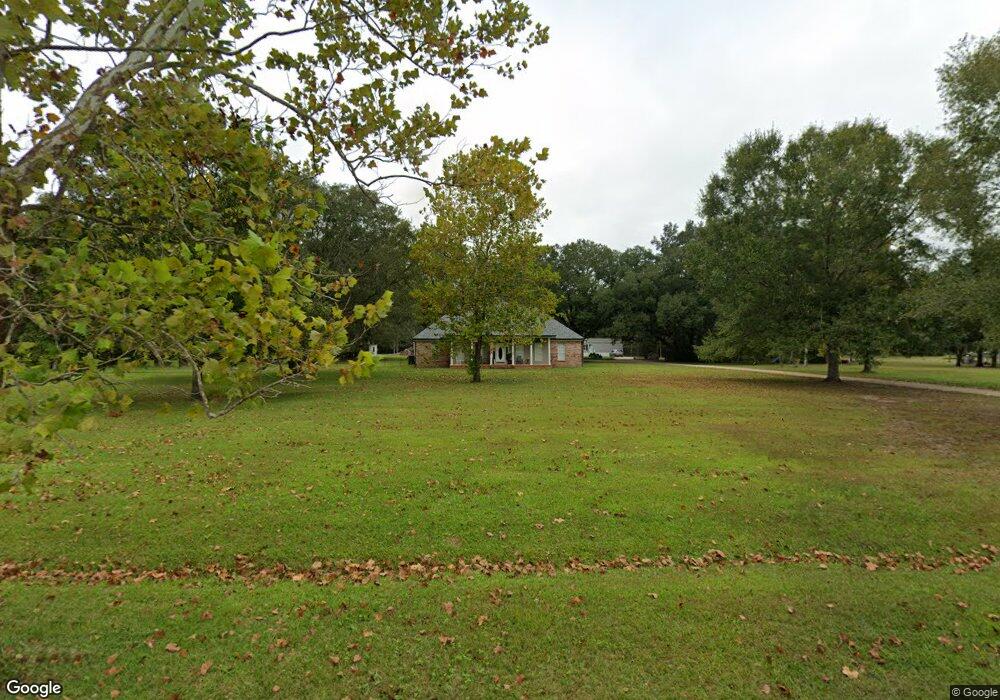
19221 Wildfire Ln Moss Point, MS 39562
Estimated Value: $256,000 - $494,000
Studio
3
Baths
2,109
Sq Ft
$167/Sq Ft
Est. Value
About This Home
This home is located at 19221 Wildfire Ln, Moss Point, MS 39562 and is currently estimated at $351,675, approximately $166 per square foot. 19221 Wildfire Ln is a home located in Jackson County with nearby schools including East Central Lower Elementary School, East Central Upper Elementary School, and East Central Middle School.
Ownership History
Date
Name
Owned For
Owner Type
Purchase Details
Closed on
May 30, 2018
Sold by
Schillaci Rickie A and Schillaci Sharon L
Bought by
Brown Nicholas and Brown Dayna
Current Estimated Value
Home Financials for this Owner
Home Financials are based on the most recent Mortgage that was taken out on this home.
Original Mortgage
$225,000
Outstanding Balance
$192,937
Interest Rate
4.5%
Mortgage Type
New Conventional
Estimated Equity
$158,738
Create a Home Valuation Report for This Property
The Home Valuation Report is an in-depth analysis detailing your home's value as well as a comparison with similar homes in the area
Purchase History
| Date | Buyer | Sale Price | Title Company |
|---|---|---|---|
| Brown Nicholas | -- | -- |
Source: Public Records
Mortgage History
| Date | Status | Borrower | Loan Amount |
|---|---|---|---|
| Open | Brown Nicholas | $225,000 |
Source: Public Records
Tax History
| Year | Tax Paid | Tax Assessment Tax Assessment Total Assessment is a certain percentage of the fair market value that is determined by local assessors to be the total taxable value of land and additions on the property. | Land | Improvement |
|---|---|---|---|---|
| 2025 | $3,943 | $33,181 | $6,230 | $26,951 |
| 2024 | $3,943 | $28,092 | $6,062 | $22,030 |
| 2023 | $3,372 | $28,092 | $6,062 | $22,030 |
| 2022 | $3,273 | $28,059 | $6,062 | $21,997 |
| 2021 | $3,279 | $28,123 | $0 | $0 |
| 2020 | $3,200 | $26,486 | $5,613 | $20,873 |
| 2019 | $3,165 | $26,486 | $5,613 | $20,873 |
| 2018 | $1,851 | $17,657 | $3,742 | $13,915 |
| 2017 | $1,887 | $17,657 | $3,742 | $13,915 |
| 2016 | $1,801 | $17,657 | $3,742 | $13,915 |
| 2015 | $1,682 | $165,730 | $37,420 | $128,310 |
| 2014 | $1,700 | $17,028 | $3,742 | $13,286 |
| 2013 | $1,644 | $17,122 | $3,742 | $13,380 |
Source: Public Records
Map
Nearby Homes
- 8201 Pecan Ridge Dr
- 0 Dap Rd E
- 7805 Songbird Ln
- 01 Dap Rd E
- 17920 Rayford Shumock Rd
- -0- Rayford Shumock Rd
- 0 Rayford Shumock Rd Unit 24406728
- 0 Rayford Shumock Rd Unit 4121875
- 17500 Goff Farm Rd
- 26.1 Acres Brinkman Rd E
- 7201 Bentwood Dr
- 0 R B Dickerson Rd
- 2770 Harmon Williams Rd
- 0 Harmon Williams Rd Unit 7718132
- 8012 Coleman Homestead Rd
- 0 Mississippi 614
- 0000 Mississippi 614
- 21217 E Trails End Rd
- 0 Grafe Homestead Rd Unit 4137349
- 0 Red Bluff Rd
- 19217 Wildfire Ln
- 19201 Wildfire Ln
- 19200 Wildfire Ln
- 19105 Wildfire Ln
- 19401 Wildfire Ln
- 9500 Wildfire Ln E
- 19320 Wildfire Ln
- 19212 Wildfire Ln
- 19300 Wildfire Ln
- 19100 Wildfire Ln
- 9432 Frank Snell Rd
- 9500 Frank Snell Rd Unit DRO
- 0 Wildfire Ln Unit 3242276
- 0 Wildfire Ln Unit 3244763
- 0 Wildfire Ln Unit 3273248
- 19275 Rucks Krans Rd
- 19301 Rucks Krans Rd
- 9421 Frank Snell Rd
- 9517 Frank Snell Rd
- 9216 Frank Snell Rd
Your Personal Tour Guide
Ask me questions while you tour the home.