19226 N Bernhill Rd Colbert, WA 99005
Estimated Value: $853,000 - $1,477,000
4
Beds
3
Baths
2,900
Sq Ft
$394/Sq Ft
Est. Value
About This Home
This home is located at 19226 N Bernhill Rd, Colbert, WA 99005 and is currently estimated at $1,141,812, approximately $393 per square foot. 19226 N Bernhill Rd is a home located in Spokane County with nearby schools including Colbert Elementary School, Mountainside Middle School, and Mt. Spokane High School.
Ownership History
Date
Name
Owned For
Owner Type
Purchase Details
Closed on
Dec 21, 2009
Sold by
Hull Kent D and Hull Linda M
Bought by
Westbrook Harold L and Broadstone Lei A
Current Estimated Value
Home Financials for this Owner
Home Financials are based on the most recent Mortgage that was taken out on this home.
Original Mortgage
$417,000
Outstanding Balance
$272,131
Interest Rate
4.91%
Mortgage Type
New Conventional
Estimated Equity
$869,681
Purchase Details
Closed on
Apr 16, 2001
Sold by
Hull Kent D
Bought by
Hull Kent D and Hull Linda M
Home Financials for this Owner
Home Financials are based on the most recent Mortgage that was taken out on this home.
Original Mortgage
$132,000
Interest Rate
6.98%
Create a Home Valuation Report for This Property
The Home Valuation Report is an in-depth analysis detailing your home's value as well as a comparison with similar homes in the area
Home Values in the Area
Average Home Value in this Area
Purchase History
| Date | Buyer | Sale Price | Title Company |
|---|---|---|---|
| Westbrook Harold L | $585,280 | Spokane County Title Co | |
| Hull Kent D | -- | First American Title Ins |
Source: Public Records
Mortgage History
| Date | Status | Borrower | Loan Amount |
|---|---|---|---|
| Open | Westbrook Harold L | $417,000 | |
| Previous Owner | Hull Kent D | $132,000 |
Source: Public Records
Tax History Compared to Growth
Tax History
| Year | Tax Paid | Tax Assessment Tax Assessment Total Assessment is a certain percentage of the fair market value that is determined by local assessors to be the total taxable value of land and additions on the property. | Land | Improvement |
|---|---|---|---|---|
| 2025 | $8,433 | $882,870 | $270,870 | $612,000 |
| 2024 | $8,433 | $835,670 | $255,170 | $580,500 |
| 2023 | $7,757 | $842,570 | $255,170 | $587,400 |
| 2022 | $7,679 | $855,570 | $268,170 | $587,400 |
| 2021 | $6,744 | $640,030 | $123,130 | $516,900 |
| 2020 | $6,725 | $605,530 | $123,130 | $482,400 |
| 2019 | $6,308 | $573,030 | $123,130 | $449,900 |
| 2018 | $7,034 | $536,130 | $113,130 | $423,000 |
| 2017 | $6,971 | $535,230 | $113,130 | $422,100 |
| 2016 | $6,539 | $491,420 | $102,320 | $389,100 |
| 2015 | $6,656 | $514,130 | $130,430 | $383,700 |
| 2014 | -- | $468,630 | $130,430 | $338,200 |
| 2013 | -- | $0 | $0 | $0 |
Source: Public Records
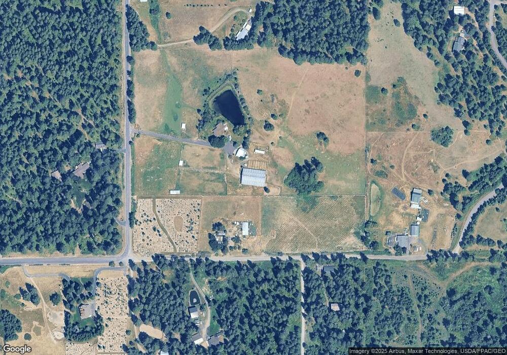
Map
Nearby Homes
- 20141 N Bernhill Rd
- NKA N Hardesty Rd
- 17323 N Lower Greenbluff Rd
- NKA N Day Mount Spokane Rd
- 16815 N Greenbluff Rd
- 4913 E Kirk Ln
- 17816 N Day Mt Spokane Rd
- 16825 N Day Mt Spokane Rd
- 5024 E Ballard Rd
- NKA E Day Mt Spokane Rd Unit North Parcel
- 20016 N Sands Rd
- 6957 E Big Meadows Rd
- 8818 E Little Deep Creek Rd
- 7011 E Big Meadows Rd
- 17310 N Sands Rd
- 5622 E Sheffield Ln
- 3923 E Woolard Ct
- XXXX E Greenbluff Rd
- 20012 N Halliday Rd
- NKA N Orchard Bluff Rd King Ln
- 19424 N Bernhill Rd
- 7525 E Bernhill Rd
- 19223 N Bernhill Rd
- 19506 N Bernhill Rd
- 7604 E Bernhill Rd
- 19610 N Bernhill Rd
- 7812 E Bernhill Rd
- 7923 E Bernhill Rd
- 7506 E Bernhill Rd
- 19301 N Pleasant Tree Ln
- 19303 N Pleasant Tree Ln
- 19501 N Kamiakin Trail Ln
- 19505 N Kamiakin Trail Ln
- 19720 N Bernhill Rd
- 7204 E Bernhill Rd
- 7718 E Bernhill Rd
- 8121 E Bernhill Rd
- 19515 N Bernhill Rd
- 19502 N Kamiakin Trail Ln
- 6906 E Bernhill Rd