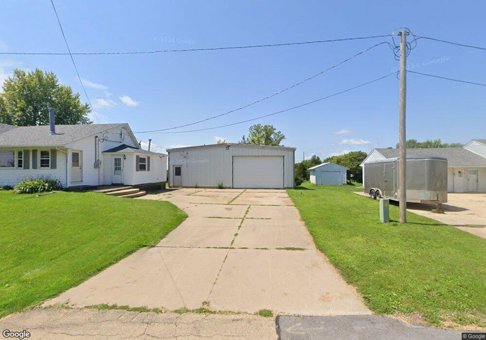
1923 8th Ave de Witt, IA 52742
Estimated Value: $193,233 - $282,000
3
Beds
1
Bath
1,936
Sq Ft
$127/Sq Ft
Est. Value
About This Home
This home is located at 1923 8th Ave, de Witt, IA 52742 and is currently estimated at $245,058, approximately $126 per square foot. 1923 8th Ave is a home with nearby schools including Ekstrand Elementary School, Central Dewitt Intermediate School, and Central Dewitt Middle School.
Ownership History
Date
Name
Owned For
Owner Type
Purchase Details
Closed on
Aug 29, 2025
Sold by
Hair Ross A
Bought by
Schroeder Ricky A and Schroeder Theresa J
Current Estimated Value
Purchase Details
Closed on
Jun 25, 2010
Sold by
Schroeder Ricky Alan and Schroeder Theresa Jo
Bought by
Hair Ross A
Home Financials for this Owner
Home Financials are based on the most recent Mortgage that was taken out on this home.
Original Mortgage
$78,600
Interest Rate
4.86%
Mortgage Type
New Conventional
Create a Home Valuation Report for This Property
The Home Valuation Report is an in-depth analysis detailing your home's value as well as a comparison with similar homes in the area
Home Values in the Area
Average Home Value in this Area
Purchase History
| Date | Buyer | Sale Price | Title Company |
|---|---|---|---|
| Schroeder Ricky A | $120,000 | None Listed On Document | |
| Hair Ross A | $100,000 | None Available |
Source: Public Records
Mortgage History
| Date | Status | Borrower | Loan Amount |
|---|---|---|---|
| Previous Owner | Hair Ross A | $78,600 |
Source: Public Records
Tax History Compared to Growth
Tax History
| Year | Tax Paid | Tax Assessment Tax Assessment Total Assessment is a certain percentage of the fair market value that is determined by local assessors to be the total taxable value of land and additions on the property. | Land | Improvement |
|---|---|---|---|---|
| 2025 | $2,828 | $174,510 | $42,640 | $131,870 |
| 2024 | $2,828 | $163,960 | $42,640 | $121,320 |
| 2023 | $2,592 | $163,960 | $42,640 | $121,320 |
| 2022 | $2,866 | $148,140 | $42,640 | $105,500 |
| 2021 | $2,844 | $150,070 | $57,020 | $93,050 |
| 2020 | $2,844 | $141,980 | $57,020 | $84,960 |
| 2019 | $2,758 | $137,940 | $0 | $0 |
| 2018 | $2,690 | $137,940 | $0 | $0 |
| 2017 | $3,128 | $137,940 | $0 | $0 |
| 2016 | $2,996 | $0 | $0 | $0 |
| 2015 | $2,996 | $152,500 | $0 | $0 |
| 2014 | $3,034 | $152,500 | $0 | $0 |
| 2013 | $2,982 | $0 | $0 | $0 |
Source: Public Records
Map
Nearby Homes
- 1144 Brookview Dr
- 1104 15th St
- 2127 Scenic Ridge
- 1244 Circle Dr
- 1323 5th Ave
- 709 11th St
- 1011 10th St
- 407 E 10th St
- 401 10th St
- 0 9th St
- 910 4th Ave
- 0 285th St Old Highway 61 Unit parcel 1808590000
- 285th Ave Old Hwy 61 Unit Parcels 1808590000/
- 285th Ave Old Hwy 61 Unit Parcel-1808600000/1
- 824 7th St
- 1527 11th St
- 1217 7th St
- 715 5th St
- 401 3rd Ave
- 2124 Meadowview Ct