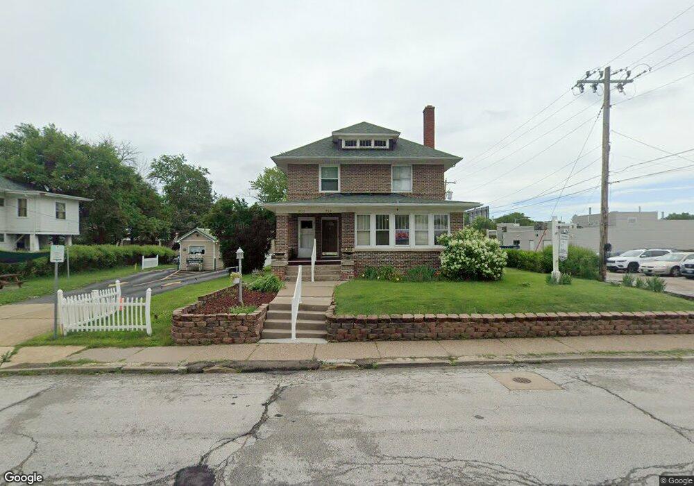
1923 N Main St Davenport, IA 52803
Near North Side NeighborhoodEstimated Value: $155,000 - $265,000
3
Beds
3
Baths
2,482
Sq Ft
$78/Sq Ft
Est. Value
About This Home
This home is located at 1923 N Main St, Davenport, IA 52803 and is currently estimated at $193,441, approximately $77 per square foot. 1923 N Main St is a home with nearby schools including Madison Elementary School, Williams Intermediate School, and Central High School.
Ownership History
Date
Name
Owned For
Owner Type
Purchase Details
Closed on
Sep 20, 2007
Sold by
Hansen Donald H and Hansen Constance L
Bought by
Tedla Yonas E
Current Estimated Value
Home Financials for this Owner
Home Financials are based on the most recent Mortgage that was taken out on this home.
Original Mortgage
$119,000
Outstanding Balance
$75,574
Interest Rate
6.63%
Mortgage Type
Purchase Money Mortgage
Estimated Equity
$117,867
Create a Home Valuation Report for This Property
The Home Valuation Report is an in-depth analysis detailing your home's value as well as a comparison with similar homes in the area
Home Values in the Area
Average Home Value in this Area
Purchase History
| Date | Buyer | Sale Price | Title Company |
|---|---|---|---|
| Tedla Yonas E | $140,000 | None Available |
Source: Public Records
Mortgage History
| Date | Status | Borrower | Loan Amount |
|---|---|---|---|
| Open | Tedla Yonas E | $119,000 |
Source: Public Records
Tax History Compared to Growth
Tax History
| Year | Tax Paid | Tax Assessment Tax Assessment Total Assessment is a certain percentage of the fair market value that is determined by local assessors to be the total taxable value of land and additions on the property. | Land | Improvement |
|---|---|---|---|---|
| 2024 | $2,690 | $164,710 | $28,600 | $136,110 |
| 2023 | $3,076 | $164,710 | $28,600 | $136,110 |
| 2022 | $3,340 | $152,840 | $24,310 | $128,530 |
| 2021 | $3,340 | $152,520 | $22,310 | $130,210 |
| 2020 | $3,022 | $152,520 | $22,310 | $130,210 |
| 2019 | $3,128 | $147,920 | $24,310 | $123,610 |
| 2018 | $3,058 | $147,920 | $24,310 | $123,610 |
| 2017 | $823 | $147,920 | $24,310 | $123,610 |
| 2016 | $3,048 | $147,920 | $0 | $0 |
| 2015 | $3,048 | $142,680 | $0 | $0 |
| 2014 | $2,976 | $142,680 | $0 | $0 |
| 2013 | $2,920 | $0 | $0 | $0 |
| 2012 | -- | $145,880 | $29,660 | $116,220 |
Source: Public Records
Map
Nearby Homes
- 1605 N Harrison St
- 1522 Brady St
- 2130 Pershing Ave
- 1518 N Main St
- 2313 Brady St
- 224 E Rusholme St
- 2211 Western Ave
- 2221 Western Ave
- 325 Kirkwood Blvd
- 218 E Denison Ave
- 1415 Pershing Ave
- 420 Kirkwood Blvd
- 321 E 15th St
- 2024 Farnam St
- 2034 Farnam St
- 1314 N Main St
- 2514 N Harrison St Unit N-O
- 320 E 14th St
- 2506 N Ripley St
- 508 E Rusholme St
- 1931 N Main St
- 1937 N Main St
- 1918 N Main St
- 1918 N Main St Unit 20
- 123 W Pleasant St
- 1920 N Main St
- 1928 N Main St
- 119 W Pleasant St
- 1934 N Main St
- 1938 N Main St
- 1930 Brady St
- 2001 N Main St
- 126 W Pleasant St
- 211 W Pleasant St
- 216 W Locust St
- 120 W Pleasant St
- 1926 Brady St
- 1902 Brady St
- 2004 N Main St
- 218 W Locust St