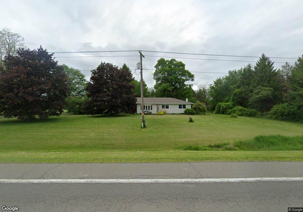
1923 State Route 34b King Ferry, NY 13081
Estimated Value: $210,000 - $431,000
5
Beds
2
Baths
1,984
Sq Ft
$147/Sq Ft
Est. Value
About This Home
This home is located at 1923 State Route 34b, King Ferry, NY 13081 and is currently estimated at $291,653, approximately $147 per square foot. 1923 State Route 34b is a home located in Cayuga County with nearby schools including Southern Cayuga High School Secondary School.
Create a Home Valuation Report for This Property
The Home Valuation Report is an in-depth analysis detailing your home's value as well as a comparison with similar homes in the area
Home Values in the Area
Average Home Value in this Area
Tax History Compared to Growth
Tax History
| Year | Tax Paid | Tax Assessment Tax Assessment Total Assessment is a certain percentage of the fair market value that is determined by local assessors to be the total taxable value of land and additions on the property. | Land | Improvement |
|---|---|---|---|---|
| 2024 | $2,529 | $133,700 | $31,300 | $102,400 |
| 2023 | $2,639 | $133,700 | $31,300 | $102,400 |
| 2022 | $2,765 | $155,000 | $31,300 | $123,700 |
| 2021 | $2,439 | $95,700 | $24,500 | $71,200 |
| 2020 | $2,172 | $95,700 | $24,500 | $71,200 |
| 2019 | $1,031 | $95,700 | $24,500 | $71,200 |
| 2018 | $2,070 | $95,700 | $24,500 | $71,200 |
| 2017 | $2,101 | $95,700 | $24,500 | $71,200 |
| 2016 | $2,053 | $95,700 | $24,500 | $71,200 |
| 2015 | -- | $95,700 | $24,500 | $71,200 |
| 2014 | -- | $90,700 | $25,500 | $65,200 |
Source: Public Records
Map
Nearby Homes
- 1923 State Route 34b
- 1979 State Route 34b
- 1851 State Route 34b
- 1893 State Route 34b
- 1893 State Route 34b
- 1817 State Route 34b
- 1824 State Route 34b
- 2049 State Route 34b
- 1793 State Route 34b
- 1787 State Route 34b
- 1777 State Route 34b
- 2152 State Route 34b
- 1938 Landon Rd
- 1888 Landon Rd
- 1686 State Route 34b
- 2050 Dixon Rd
- 1997 Landon Rd
- 1656 Britt Rd
- 1616 Britt Rd
- 1660 State Route 34b