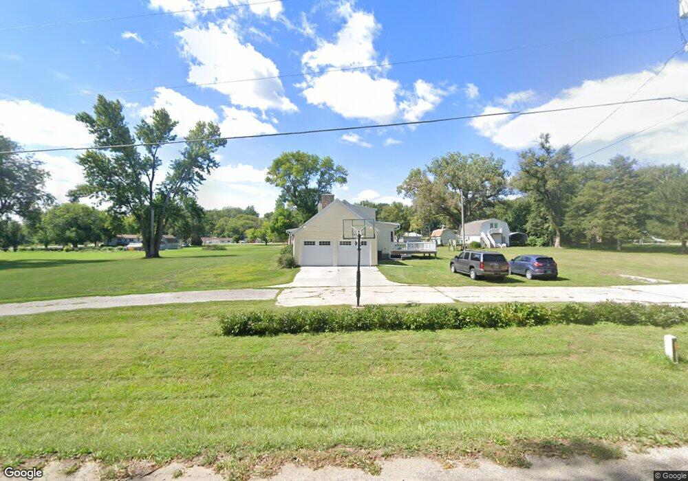
19232 Garner Ave Council Bluffs, IA 51503
Estimated Value: $343,000 - $424,000
2
Beds
2
Baths
1,701
Sq Ft
$230/Sq Ft
Est. Value
About This Home
This home is located at 19232 Garner Ave, Council Bluffs, IA 51503 and is currently estimated at $391,724, approximately $230 per square foot. 19232 Garner Ave is a home located in Pottawattamie County with nearby schools including College View Elementary School, Crescent Elementary School, and Gerald W. Kirn Middle School.
Ownership History
Date
Name
Owned For
Owner Type
Purchase Details
Closed on
Jun 24, 2009
Sold by
Blakeslee Donna Giles and Giles Donna L
Bought by
Sherrill Nathan A and Sherrill Tina M
Current Estimated Value
Home Financials for this Owner
Home Financials are based on the most recent Mortgage that was taken out on this home.
Original Mortgage
$153,174
Outstanding Balance
$97,246
Interest Rate
4.86%
Mortgage Type
FHA
Estimated Equity
$294,478
Create a Home Valuation Report for This Property
The Home Valuation Report is an in-depth analysis detailing your home's value as well as a comparison with similar homes in the area
Home Values in the Area
Average Home Value in this Area
Purchase History
| Date | Buyer | Sale Price | Title Company |
|---|---|---|---|
| Sherrill Nathan A | $156,000 | Clear Title & Ab7stract Llc |
Source: Public Records
Mortgage History
| Date | Status | Borrower | Loan Amount |
|---|---|---|---|
| Open | Sherrill Nathan A | $153,174 |
Source: Public Records
Tax History Compared to Growth
Tax History
| Year | Tax Paid | Tax Assessment Tax Assessment Total Assessment is a certain percentage of the fair market value that is determined by local assessors to be the total taxable value of land and additions on the property. | Land | Improvement |
|---|---|---|---|---|
| 2025 | $4,398 | $349,000 | $81,400 | $267,600 |
| 2024 | $4,398 | $320,000 | $70,700 | $249,300 |
| 2023 | $4,364 | $320,000 | $70,700 | $249,300 |
| 2022 | $4,072 | $265,800 | $70,400 | $195,400 |
| 2021 | $5,993 | $252,500 | $70,400 | $182,100 |
| 2020 | $3,750 | $219,500 | $60,100 | $159,400 |
| 2019 | $3,884 | $219,500 | $60,100 | $159,400 |
| 2018 | $3,820 | $219,500 | $60,100 | $159,400 |
| 2017 | $3,820 | $189,782 | $47,652 | $142,130 |
| 2015 | $3,310 | $189,782 | $47,652 | $142,130 |
| 2014 | $3,316 | $189,782 | $47,652 | $142,130 |
Source: Public Records
Map
Nearby Homes
- 1778 Jennings Ave
- 1.12 AC Railroad Ave & Hwy 6
- 605 Ridge Rd N
- 944 Mckenzie Ave
- 18843 Evergreen Ln
- 22143 Hackberry Rd
- 627 Spencer Ave
- 37 Indian Hills Rd
- 500 Spencer Ave
- 638 Simms Ave
- 407 Spencer Ave
- 21836 Vineyard Hills Dr
- 401 Spencer Ave
- 440 Simms Ave
- 19404 Mudhollow Rd
- LOT 12 Mcpherson Ave
- 116 Spencer Ave
- 415 Midland Dr
- 61.50ACRES Honeysuckle Rd
- 71.95ACRES Honeysuckle Rd
- 2030 Jennings Ave
- 19295 Garner Ave
- 2006 Jennings Ave
- 2076 Jennings Ave
- 19345 Garner Ave
- 2025 Jennings Ave
- 2011 Jennings Ave
- 19351 Garner Ave
- 1946 Jennings Ave
- 2075 Jennings Ave
- 2061 Jennings Ave
- 1977 Jennings Ave
- 19375 Garner Ave
- 1951 Jennings Ave
- 19133 Hawthorne Ave
- 19191 Hawthorne Ave
- 19223 Hawthorne Ave
- 1900 Jennings Ave
- 19401 Garner Ave
- 19304 Railroad Hwy