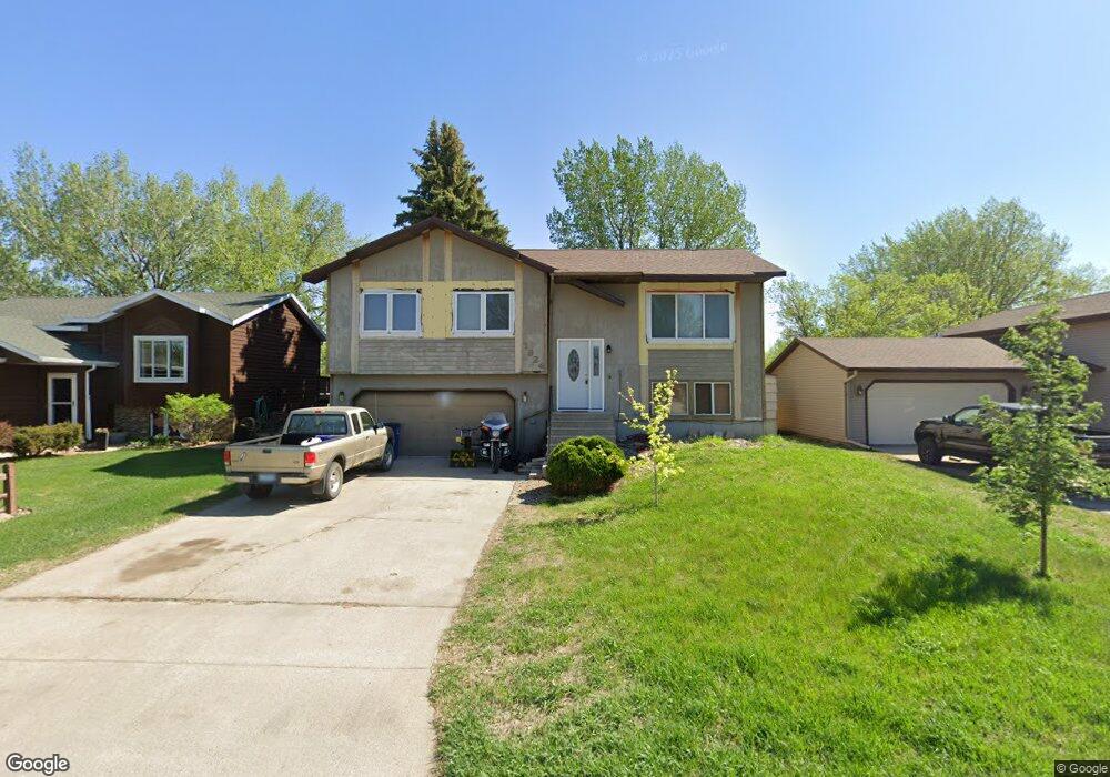
1924 29th Street Cir S Unit D2 Moorhead, MN 56560
Estimated Value: $221,826 - $263,000
2
Beds
1
Bath
1,340
Sq Ft
$179/Sq Ft
Est. Value
About This Home
This home is located at 1924 29th Street Cir S Unit D2, Moorhead, MN 56560 and is currently estimated at $239,707, approximately $178 per square foot. 1924 29th Street Cir S Unit D2 is a home located in Clay County with nearby schools including Dorothy Dodds Elementary School, Horizon Middle School, and Moorhead High School.
Ownership History
Date
Name
Owned For
Owner Type
Purchase Details
Closed on
Apr 30, 2013
Sold by
Zilmer Keith W and Zilmer Kari J
Bought by
Carlson Thomas A and Thompson Constance G
Current Estimated Value
Purchase Details
Closed on
Jun 26, 2009
Sold by
Ogdahl Chad A and Ogdahl Heather
Bought by
Zilmer Keith W
Home Financials for this Owner
Home Financials are based on the most recent Mortgage that was taken out on this home.
Original Mortgage
$122,710
Interest Rate
5.12%
Mortgage Type
FHA
Purchase Details
Closed on
Jun 8, 2006
Sold by
Paul Douglas D and Paul Stefanie R
Bought by
Ogdahl Chad A
Home Financials for this Owner
Home Financials are based on the most recent Mortgage that was taken out on this home.
Original Mortgage
$118,146
Interest Rate
6.12%
Mortgage Type
FHA
Create a Home Valuation Report for This Property
The Home Valuation Report is an in-depth analysis detailing your home's value as well as a comparison with similar homes in the area
Home Values in the Area
Average Home Value in this Area
Purchase History
| Date | Buyer | Sale Price | Title Company |
|---|---|---|---|
| Carlson Thomas A | $132,000 | Fm Title | |
| Zilmer Keith W | $125,000 | None Available | |
| Ogdahl Chad A | $120,000 | None Available |
Source: Public Records
Mortgage History
| Date | Status | Borrower | Loan Amount |
|---|---|---|---|
| Previous Owner | Zilmer Keith W | $122,710 | |
| Previous Owner | Ogdahl Chad A | $118,146 |
Source: Public Records
Tax History Compared to Growth
Tax History
| Year | Tax Paid | Tax Assessment Tax Assessment Total Assessment is a certain percentage of the fair market value that is determined by local assessors to be the total taxable value of land and additions on the property. | Land | Improvement |
|---|---|---|---|---|
| 2025 | $2,712 | $199,800 | $35,000 | $164,800 |
| 2024 | $2,712 | $189,100 | $35,000 | $154,100 |
| 2023 | $2,674 | $181,700 | $35,000 | $146,700 |
| 2022 | $2,444 | $175,600 | $32,300 | $143,300 |
| 2021 | $2,446 | $158,500 | $29,600 | $128,900 |
| 2020 | $2,372 | $157,000 | $29,600 | $127,400 |
| 2019 | $2,124 | $155,700 | $29,600 | $126,100 |
| 2018 | $2,124 | $147,600 | $29,600 | $118,000 |
| 2017 | $1,916 | $147,600 | $29,600 | $118,000 |
| 2016 | $1,742 | $143,200 | $29,600 | $113,600 |
| 2015 | $1,654 | $129,500 | $25,300 | $104,200 |
| 2014 | $1,608 | $129,500 | $25,300 | $104,200 |
Source: Public Records
Map
Nearby Homes
- 1813 29th Street Cir S
- 1922 33rd St S
- 1822 33rd St S
- 1715 33rd St S
- 2239 35th Street Cir S
- 3724 27th St S
- 3718 27th St S
- 2002 35th Street Cir S
- 1312 34th Street Cir S
- 2906 14th Ave S
- 1218 35th Street Cir S
- 966 33rd St S
- 2523 12th Ave S Unit Q
- 4329 21st Ave S
- 4321 21st Ave S
- 1413 23rd St S
- 3310 Village Green Dr
- 1924 29th Street Cir S
- 1920 29th Street Cir S
- 1928 29th Street Cir S
- 1936 29th Street Cir S
- 1912 29th Street Cir S
- 1944 29th Street Cir S
- 1927 29th Street Cir S
- 1923 29th Street Cir S
- 1931 29th Street Cir S
- 1919 29th Street Cir S
- 1935 29th Street Cir S
- 1915 29th Street Cir S
- 1952 29th Street Cir S
- 1904 29th Street Cir S
- 1939 29th Street Cir S
- 1911 29th Street Cir S
- 1858 29th Street Cir S
- 1964 29th Street Cir S
- 1856 29th Street Cir S
- 1943 29th Street Cir S