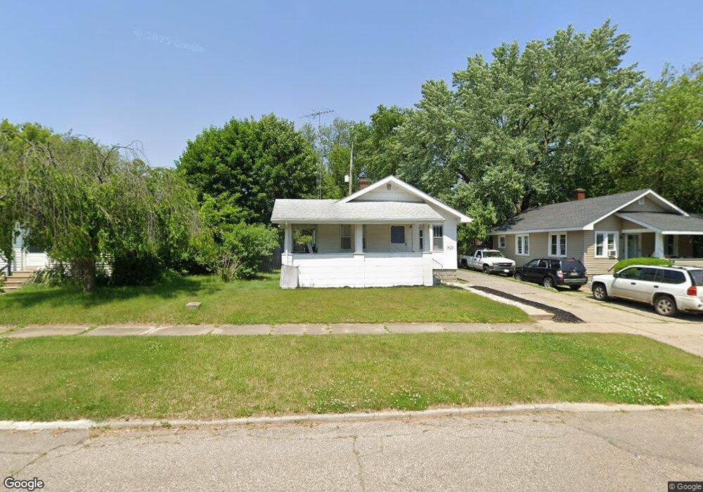
1924 Cartier St Flint, MI 48504
Mott Park NeighborhoodEstimated Value: $40,000 - $65,000
2
Beds
1
Bath
720
Sq Ft
$78/Sq Ft
Est. Value
About This Home
This home is located at 1924 Cartier St, Flint, MI 48504 and is currently estimated at $56,187, approximately $78 per square foot. 1924 Cartier St is a home located in Genesee County with nearby schools including Durant-Tuuri-Mott Elementary School, St John Vianney Catholic School, and St. Paul Lutheran School.
Ownership History
Date
Name
Owned For
Owner Type
Purchase Details
Closed on
Apr 27, 2001
Sold by
United Guaranty Residential Insurance Co
Bought by
Don Elm Trust
Current Estimated Value
Purchase Details
Closed on
Nov 15, 2000
Sold by
Federal Home Loan Mortgage Corporation
Bought by
United Guaranty Residential Insurance Co
Purchase Details
Closed on
Aug 23, 1999
Sold by
Capstead Inc
Bought by
Federal Home Loan Mortgage Corporation
Purchase Details
Closed on
Jul 21, 1999
Sold by
Curtiss Dale H
Bought by
Capstead Inc
Create a Home Valuation Report for This Property
The Home Valuation Report is an in-depth analysis detailing your home's value as well as a comparison with similar homes in the area
Home Values in the Area
Average Home Value in this Area
Purchase History
| Date | Buyer | Sale Price | Title Company |
|---|---|---|---|
| Don Elm Trust | -- | Metropolitan Title Company | |
| United Guaranty Residential Insurance Co | -- | Metropolitan Title Company | |
| Federal Home Loan Mortgage Corporation | -- | -- | |
| Capstead Inc | $28,607 | -- |
Source: Public Records
Tax History Compared to Growth
Tax History
| Year | Tax Paid | Tax Assessment Tax Assessment Total Assessment is a certain percentage of the fair market value that is determined by local assessors to be the total taxable value of land and additions on the property. | Land | Improvement |
|---|---|---|---|---|
| 2025 | $919 | $25,600 | $0 | $0 |
| 2024 | $856 | $22,600 | $0 | $0 |
| 2023 | $841 | $19,300 | $0 | $0 |
| 2022 | $0 | $15,400 | $0 | $0 |
| 2021 | $850 | $14,600 | $0 | $0 |
| 2020 | $787 | $14,200 | $0 | $0 |
| 2019 | $773 | $8,400 | $0 | $0 |
| 2018 | $752 | $7,600 | $0 | $0 |
| 2017 | $786 | $0 | $0 | $0 |
| 2016 | $786 | $0 | $0 | $0 |
| 2015 | -- | $0 | $0 | $0 |
| 2014 | -- | $0 | $0 | $0 |
| 2012 | -- | $11,200 | $0 | $0 |
Source: Public Records
Map
Nearby Homes
- 2008 University Ave
- 709 Cadillac St
- 2332 Nolen Dr
- 820 N Chevrolet Ave
- 849 Frank St
- 913 Perry St
- 448 Dougherty Place
- 1016 Dupont St
- 1017 Perry St
- 2448 Thomas St
- 1926 W Court St
- 612 Bradley Ave
- 3119 Sherwood Dr
- 2437 Zimmerman St
- 227 W 5th Ave Unit 3
- 1813 Stevenson St
- 2410 Sloan St
- 2663 W Court St
- 2464 Gibson St
- 1717 Wolcott St
- 1920 Cartier St
- 2002 Cartier St
- 1916 Cartier St
- 1825 Monteith St
- 1821 Monteith St
- 1901 Monteith St
- 1817 Monteith St
- 2008 Cartier St
- 1912 Cartier St
- 1905 Monteith St
- 716 Saint Clair Ave
- 1813 Monteith St
- 1919 Cartier St
- 2014 Cartier St
- 2001 Cartier St
- 1909 Monteith St
- 1915 Cartier St
- 1809 Monteith St
- 708 Saint Clair Ave
- 1913 Monteith St