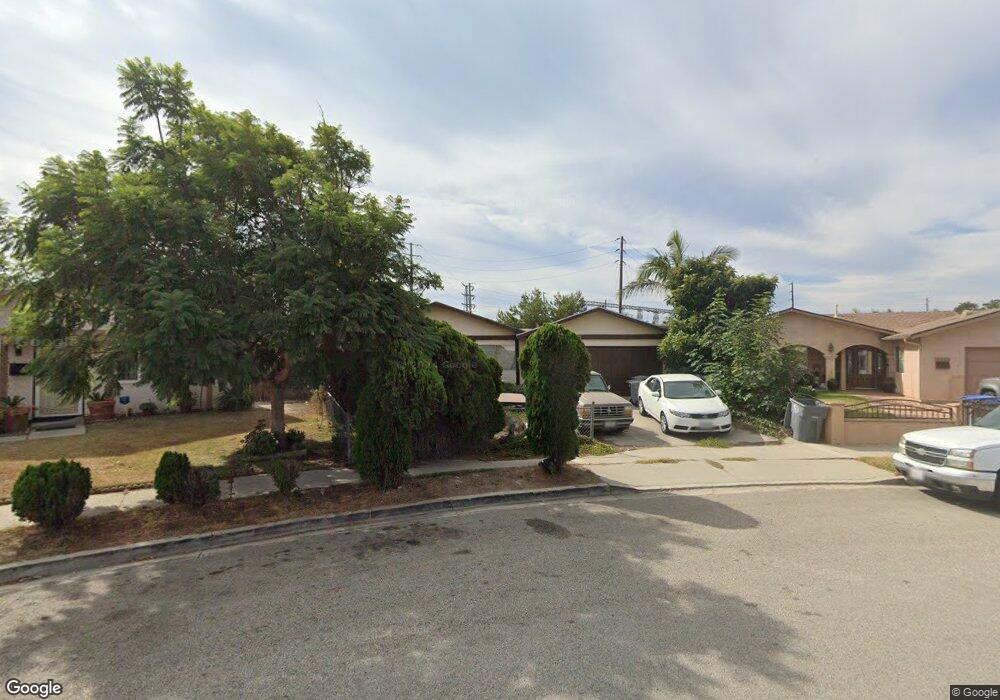
1924 Pericles Place Oxnard, CA 93033
Lemonwood Eastmont NeighborhoodEstimated Value: $593,000 - $737,000
4
Beds
2
Baths
1,120
Sq Ft
$605/Sq Ft
Est. Value
About This Home
This home is located at 1924 Pericles Place, Oxnard, CA 93033 and is currently estimated at $677,829, approximately $605 per square foot. 1924 Pericles Place is a home located in Ventura County with nearby schools including Lemonwood Elementary School, R.J. Frank Academy of Marine Science & Engineering, and Santa Clara High School.
Ownership History
Date
Name
Owned For
Owner Type
Purchase Details
Closed on
Sep 9, 1998
Sold by
Andrew Regalado and Andrew Priscila R
Bought by
Wrobleski Bryan
Current Estimated Value
Home Financials for this Owner
Home Financials are based on the most recent Mortgage that was taken out on this home.
Original Mortgage
$126,650
Outstanding Balance
$27,007
Interest Rate
6.88%
Estimated Equity
$650,822
Create a Home Valuation Report for This Property
The Home Valuation Report is an in-depth analysis detailing your home's value as well as a comparison with similar homes in the area
Home Values in the Area
Average Home Value in this Area
Purchase History
| Date | Buyer | Sale Price | Title Company |
|---|---|---|---|
| Wrobleski Bryan | $149,000 | First American Title Ins Co |
Source: Public Records
Mortgage History
| Date | Status | Borrower | Loan Amount |
|---|---|---|---|
| Open | Wrobleski Bryan | $126,650 |
Source: Public Records
Tax History
| Year | Tax Paid | Tax Assessment Tax Assessment Total Assessment is a certain percentage of the fair market value that is determined by local assessors to be the total taxable value of land and additions on the property. | Land | Improvement |
|---|---|---|---|---|
| 2025 | $2,871 | $233,557 | $93,420 | $140,137 |
| 2024 | $2,871 | $228,978 | $91,588 | $137,390 |
| 2023 | $2,768 | $224,489 | $89,792 | $134,697 |
| 2022 | $2,685 | $220,088 | $88,032 | $132,056 |
| 2021 | $2,664 | $215,773 | $86,306 | $129,467 |
| 2020 | $2,713 | $213,563 | $85,422 | $128,141 |
| 2019 | $2,637 | $209,377 | $83,748 | $125,629 |
| 2018 | $2,601 | $205,272 | $82,106 | $123,166 |
| 2017 | $2,470 | $201,248 | $80,497 | $120,751 |
| 2016 | $2,385 | $197,303 | $78,919 | $118,384 |
| 2015 | $2,410 | $194,341 | $77,735 | $116,606 |
| 2014 | $2,384 | $190,536 | $76,213 | $114,323 |
Source: Public Records
Map
Nearby Homes
- 1928 San Benito St
- 3426 Olds Rd
- 3630 Dallas Dr
- 1036 Cheyenne Way
- 3700 Olds Rd Unit 86
- 2136 Thrush Ave Unit 2136
- 2117 Cardinal Ave Unit 2117h
- 2143 Cardinal Ave Unit 2143
- 2178 Thrush Ave Unit J
- 2177 Robin Ave Unit 2177A
- 1630 Nelson Place
- 2140 Robin Ave Unit 2140A
- 1645 Lime Ave Unit 91
- 2021 E Bard Rd
- 2400 E Pleasant Valley Rd Unit 108
- 4340 Highland Ave
- 4614 Concord Way
- 168 Lark St
- 167 Hughes Dr
- 4108 Ranchita Ln
- 2651 Beaufort Dr
- 1930 Pericles Place
- 1929 San Benito St
- 1933 San Benito St
- 2641 Beaufort Dr
- 1934 Pericles Place
- 1935 San Benito St
- 2650 Alexander St
- 2630 Beaufort Dr
- 2631 Beaufort Dr
- 2640 Alexander St
- 1940 Pericles Place
- 1924 San Benito St
- 2630 Alexander St
- 1941 San Benito St
- 2620 Beaufort Dr
- 2620 Alexander St
- 2621 Beaufort Dr
- 1941 Pericles Place
- 1944 Pericles Place
Your Personal Tour Guide
Ask me questions while you tour the home.