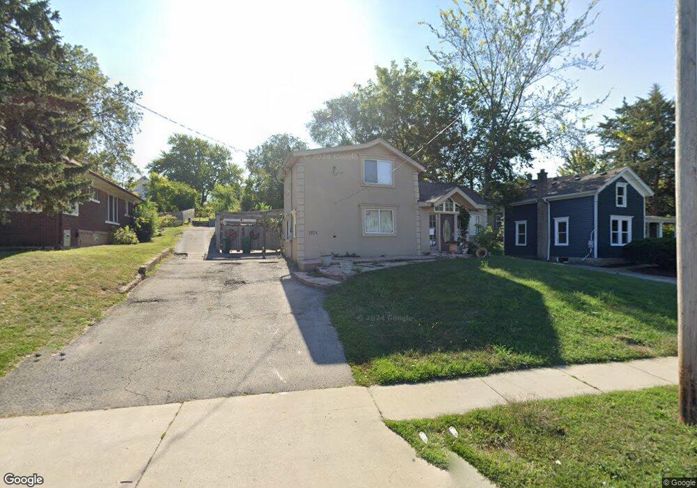
1924 S State St Lockport, IL 60441
South Lockport NeighborhoodEstimated Value: $184,000 - $309,000
--
Bed
--
Bath
--
Sq Ft
0.3
Acres
About This Home
This home is located at 1924 S State St, Lockport, IL 60441 and is currently estimated at $249,207. 1924 S State St is a home located in Will County with nearby schools including Taft Grade School, Lockport Township High School East, and Saint Dennis School.
Ownership History
Date
Name
Owned For
Owner Type
Purchase Details
Closed on
Oct 25, 2004
Sold by
Mancera Arturo
Bought by
Mancera Miguel and Mancera Marisela
Current Estimated Value
Purchase Details
Closed on
Apr 22, 2003
Sold by
Hammel Doris M and Estate Of Hershell W Carlton
Bought by
Mancera Arturo and Mancera Miguel
Create a Home Valuation Report for This Property
The Home Valuation Report is an in-depth analysis detailing your home's value as well as a comparison with similar homes in the area
Home Values in the Area
Average Home Value in this Area
Purchase History
| Date | Buyer | Sale Price | Title Company |
|---|---|---|---|
| Mancera Miguel | -- | -- | |
| Mancera Arturo | $35,000 | -- |
Source: Public Records
Tax History Compared to Growth
Tax History
| Year | Tax Paid | Tax Assessment Tax Assessment Total Assessment is a certain percentage of the fair market value that is determined by local assessors to be the total taxable value of land and additions on the property. | Land | Improvement |
|---|---|---|---|---|
| 2024 | $5,175 | $72,408 | $24,401 | $48,007 |
| 2023 | $5,175 | $65,004 | $21,906 | $43,098 |
| 2022 | $4,971 | $57,705 | $19,445 | $38,260 |
| 2021 | $4,265 | $54,229 | $18,274 | $35,955 |
| 2020 | $4,156 | $52,446 | $17,673 | $34,773 |
| 2019 | $3,962 | $49,712 | $16,752 | $32,960 |
| 2018 | $3,401 | $42,679 | $15,796 | $26,883 |
| 2017 | $3,169 | $39,117 | $14,478 | $24,639 |
| 2016 | $2,817 | $34,718 | $12,850 | $21,868 |
| 2015 | $2,680 | $32,071 | $11,870 | $20,201 |
| 2014 | $2,680 | $31,442 | $11,637 | $19,805 |
| 2013 | $2,680 | $36,991 | $13,691 | $23,300 |
Source: Public Records
Map
Nearby Homes
- 1935 S Hamilton St
- 117 Daggett Ave
- 206 Daggett Ave
- 2004 Boehme St
- 135 W 18th St
- 2100 S Washington St
- 516 Whelan St
- 1326 S Washington St
- 1410 Lawrence Ave
- 2005 Princess Ct
- 2009 Princess Ct
- 2021 Princess Ct
- Lots 57, 58, 59 & 60 Green Garden Place
- 566 Mihelich Ln
- 1623 East St
- 200 E 11th St
- 1016 S State St
- 1513 Connor Ave
- 1006 S Jefferson St
- 1111 S Lincoln St
- 1920 S State St
- 1928 S State St
- 1934 S State St
- 118 Daggett Ave
- 1914 S State St
- 1921 S Hamilton St
- 1910 S State St
- 1917 S Hamilton St
- 1927 S Hamilton St
- 1929 S State St
- 1918 S State St
- 1925 S State St
- 1925 S State St
- 1925 S State St
- 1929 S Hamilton St
- 1902 S State St
- 1917 S State St
- 1909 S Hamilton St
- 1909 S Hamilton St
- 134 Daggett St