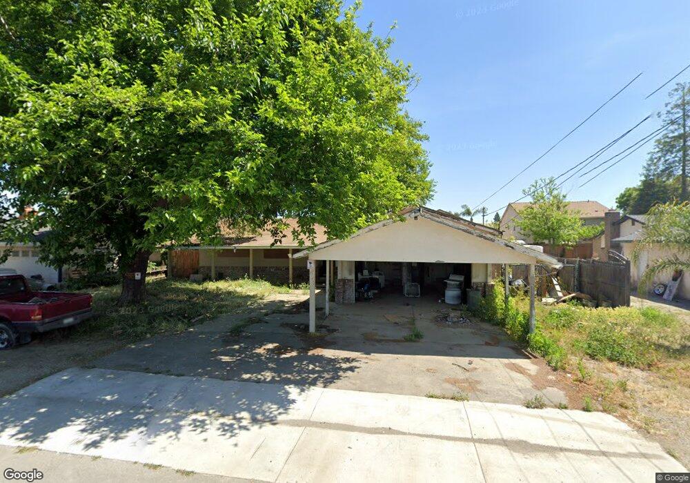
1924 Sanborn Rd Yuba City, CA 95993
Estimated Value: $260,000 - $369,000
3
Beds
2
Baths
1,200
Sq Ft
$281/Sq Ft
Est. Value
About This Home
This home is located at 1924 Sanborn Rd, Yuba City, CA 95993 and is currently estimated at $337,490, approximately $281 per square foot. 1924 Sanborn Rd is a home located in Sutter County with nearby schools including Barry Elementary School, Yuba City High School, and St. Isidore Catholic School.
Ownership History
Date
Name
Owned For
Owner Type
Purchase Details
Closed on
Mar 23, 2005
Sold by
Gillett Donald H and Gillett Leila F
Bought by
Gillett Donald H and Gillett Leila F
Current Estimated Value
Purchase Details
Closed on
Nov 20, 2002
Sold by
Miller Larry D and Miller William F
Bought by
Miller Roy Edwin and Miller Sheilah Singh
Home Financials for this Owner
Home Financials are based on the most recent Mortgage that was taken out on this home.
Original Mortgage
$105,000
Interest Rate
5.89%
Create a Home Valuation Report for This Property
The Home Valuation Report is an in-depth analysis detailing your home's value as well as a comparison with similar homes in the area
Home Values in the Area
Average Home Value in this Area
Purchase History
| Date | Buyer | Sale Price | Title Company |
|---|---|---|---|
| Gillett Donald H | -- | -- | |
| Miller Roy Edwin | $100,000 | Placer Title Company |
Source: Public Records
Mortgage History
| Date | Status | Borrower | Loan Amount |
|---|---|---|---|
| Closed | Miller Roy Edwin | $105,000 |
Source: Public Records
Tax History Compared to Growth
Tax History
| Year | Tax Paid | Tax Assessment Tax Assessment Total Assessment is a certain percentage of the fair market value that is determined by local assessors to be the total taxable value of land and additions on the property. | Land | Improvement |
|---|---|---|---|---|
| 2025 | $755 | $58,775 | $11,061 | $47,714 |
| 2024 | $755 | $57,624 | $10,845 | $46,779 |
| 2023 | $755 | $56,495 | $10,633 | $45,862 |
| 2022 | $720 | $55,388 | $10,425 | $44,963 |
| 2021 | $714 | $54,363 | $10,254 | $44,109 |
| 2020 | $702 | $53,805 | $10,149 | $43,656 |
| 2019 | $689 | $52,751 | $9,950 | $42,801 |
| 2018 | $680 | $51,717 | $9,755 | $41,962 |
| 2017 | $665 | $50,703 | $9,564 | $41,139 |
| 2016 | $652 | $49,708 | $9,376 | $40,332 |
| 2015 | $643 | $48,962 | $9,235 | $39,727 |
| 2014 | $637 | $48,002 | $9,054 | $38,948 |
Source: Public Records
Map
Nearby Homes
- Plan 2311 at Montego
- Plan 1924 at Montego
- Plan 1894 at Montego
- 2021 Nand Dr
- 1981 Ash Ct
- 1811 Alyssa Dr
- 1515 Jodi Dr
- 1524 Spyglass Dr
- 2399 Holcomb Ave
- 1372 Johnathan Dr
- 1180 Sanborn Rd
- 1525 Bogue Rd
- 2038 Nicholas Dr
- 1474 Smith Rd
- 1105 Johnathan Dr
- 1150 Pico Ct
- 2185 Lincoln Rd
- 1181 Robert Dr
- 0 Victoria Ct
- 1710 Edwards Ln
- 1916 Sanborn Rd
- 1930 Sanborn Rd
- 1863 Burgandy Dr
- 1871 Burgandy Dr
- 1902 Sanborn Rd
- 1944 Sanborn Rd
- 1879 Burgandy Dr
- 1855 Burgandy Dr
- 1847 Burgandy Dr
- 1887 Burgandy Dr
- 1874 Sanborn Rd
- 1958 Sanborn Rd
- 1839 Burgandy Dr
- 1868 Burgandy Dr
- 1860 Burgandy Dr
- 1895 Burgandy Dr
- 1876 Burgandy Dr
- 1852 Burgandy Dr
- 1860 Sanborn Rd
- 1831 Burgandy Dr