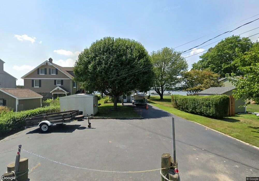
1924 Wilson Point Rd Middle River, MD 21220
Estimated Value: $386,000 - $642,000
--
Bed
1
Bath
1,144
Sq Ft
$487/Sq Ft
Est. Value
About This Home
This home is located at 1924 Wilson Point Rd, Middle River, MD 21220 and is currently estimated at $557,611, approximately $487 per square foot. 1924 Wilson Point Rd is a home located in Baltimore County with nearby schools including Hawthorne Elementary School, Stemmers Run Middle School, and Kenwood High.
Ownership History
Date
Name
Owned For
Owner Type
Purchase Details
Closed on
Aug 9, 2021
Sold by
Urban Annette M and Wetzelberger Robert W
Bought by
Satriano William R
Current Estimated Value
Home Financials for this Owner
Home Financials are based on the most recent Mortgage that was taken out on this home.
Original Mortgage
$479,351
Outstanding Balance
$435,222
Interest Rate
2.8%
Mortgage Type
New Conventional
Estimated Equity
$122,389
Purchase Details
Closed on
Jun 15, 1999
Sold by
Wetzelberger Robert W
Bought by
Wetzelberger Anna R
Create a Home Valuation Report for This Property
The Home Valuation Report is an in-depth analysis detailing your home's value as well as a comparison with similar homes in the area
Home Values in the Area
Average Home Value in this Area
Purchase History
| Date | Buyer | Sale Price | Title Company |
|---|---|---|---|
| Satriano William R | $525,000 | Westcor Land Title Ins Co | |
| Wetzelberger Anna R | -- | -- |
Source: Public Records
Mortgage History
| Date | Status | Borrower | Loan Amount |
|---|---|---|---|
| Open | Satriano William R | $479,351 |
Source: Public Records
Tax History Compared to Growth
Tax History
| Year | Tax Paid | Tax Assessment Tax Assessment Total Assessment is a certain percentage of the fair market value that is determined by local assessors to be the total taxable value of land and additions on the property. | Land | Improvement |
|---|---|---|---|---|
| 2025 | $6,635 | $496,367 | -- | -- |
| 2024 | $6,635 | $469,433 | $0 | $0 |
| 2023 | $2,878 | $416,800 | $259,500 | $157,300 |
| 2022 | $5,365 | $409,700 | $0 | $0 |
| 2021 | $3,335 | $402,600 | $0 | $0 |
| 2020 | $4,793 | $395,500 | $259,500 | $136,000 |
| 2019 | $4,766 | $393,267 | $0 | $0 |
| 2018 | $1,255 | $391,033 | $0 | $0 |
| 2017 | $1,364 | $388,800 | $0 | $0 |
| 2016 | $750 | $388,800 | $0 | $0 |
| 2015 | $750 | $388,800 | $0 | $0 |
| 2014 | $750 | $413,800 | $0 | $0 |
Source: Public Records
Map
Nearby Homes
- 2316 Bauernschmidt Dr
- 1937 Cape May Rd
- Parcel on Park Dr
- 1432 Shore Rd
- 3 Lacebark Ct
- 1206 Chesapeake Ave
- 311 Greyhound Rd
- 1205 Chesapeake Ave
- 1306 Third Rd
- 0 Chesapeake Ave
- 2042 Hackberry Rd
- 1307 2nd Rd
- 116 Kingston Park Ln
- 40 Dogwood Dr
- 60 Dogwood Dr
- 34 Dogwood Dr
- 516 Brighton Place
- 502 Brighton Place
- 2036 William Ave
- 2034 William Ave
- 1926 Wilson Point Rd
- 1922 Wilson Point Rd
- 1928 Wilson Point Rd
- 1930 Wilson Point Rd
- 1920 Wilson Point Rd
- 1929 Wilson Point Rd
- 2006 Wilson Point Rd
- 1931 Wilson Point Rd
- 1927 Wilson Point Rd
- 1933 Wilson Point Rd
- 1925 Wilson Point Rd
- 1916 Wilson Point Rd
- 2000 Wilson Point Rd
- 1923 Wilson Point Rd
- 2008 Wilson Point Rd
- 1914 Wilson Point Rd
- 1919 Wilson Point Rd
- 1912 Wilson Point Rd
- 1917 Wilson Point Rd
- 1910 Wilson Point Rd