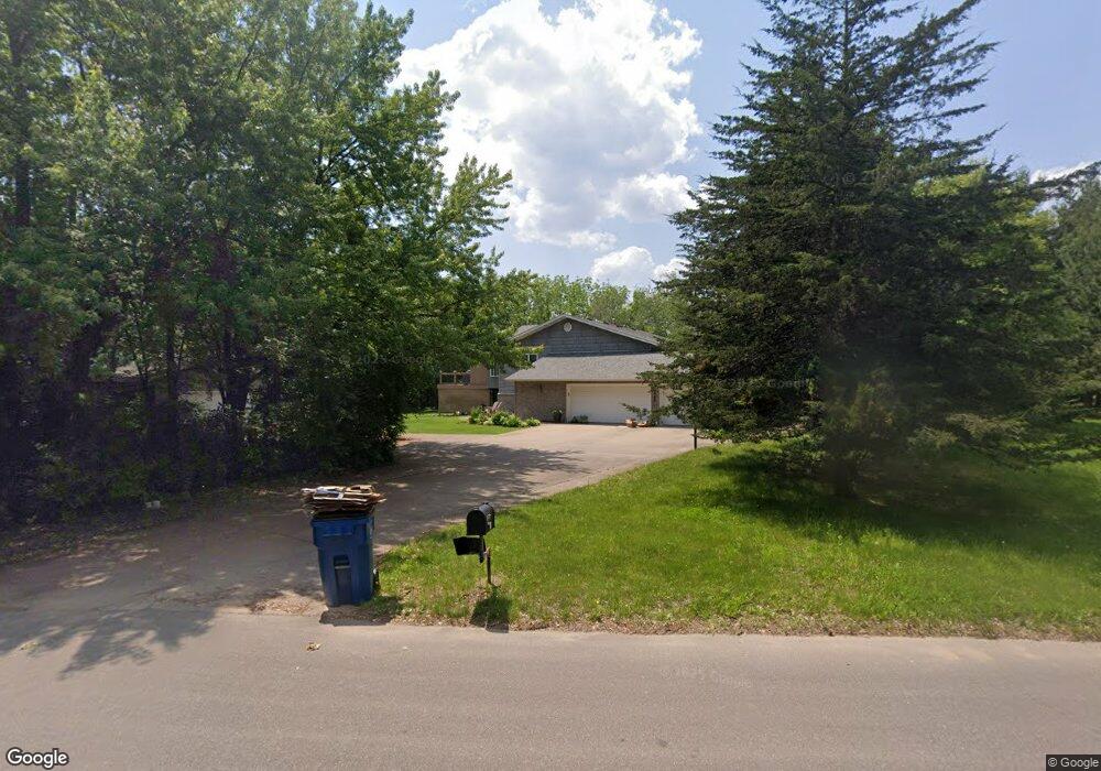
19248 Lander St NW Elk River, MN 55330
Estimated Value: $513,000 - $571,680
5
Beds
3
Baths
1,704
Sq Ft
$324/Sq Ft
Est. Value
About This Home
This home is located at 19248 Lander St NW, Elk River, MN 55330 and is currently estimated at $552,670, approximately $324 per square foot. 19248 Lander St NW is a home located in Sherburne County with nearby schools including Meadowvale Elementary School, Vandenberge Middle School, and Elk River Senior High School.
Ownership History
Date
Name
Owned For
Owner Type
Purchase Details
Closed on
Jun 17, 2016
Sold by
Ellingson Keith G and Ellingson Marlys A
Bought by
Johnson Daniel and Johnson Heather
Current Estimated Value
Home Financials for this Owner
Home Financials are based on the most recent Mortgage that was taken out on this home.
Original Mortgage
$246,632
Interest Rate
3.54%
Create a Home Valuation Report for This Property
The Home Valuation Report is an in-depth analysis detailing your home's value as well as a comparison with similar homes in the area
Home Values in the Area
Average Home Value in this Area
Purchase History
| Date | Buyer | Sale Price | Title Company |
|---|---|---|---|
| Johnson Daniel | $308,291 | Home Security Abstract&Title | |
| Johnson Daniel Daniel | $308,300 | -- |
Source: Public Records
Mortgage History
| Date | Status | Borrower | Loan Amount |
|---|---|---|---|
| Previous Owner | Johnson Daniel Daniel | $246,632 |
Source: Public Records
Tax History Compared to Growth
Tax History
| Year | Tax Paid | Tax Assessment Tax Assessment Total Assessment is a certain percentage of the fair market value that is determined by local assessors to be the total taxable value of land and additions on the property. | Land | Improvement |
|---|---|---|---|---|
| 2025 | $7,062 | $533,000 | $183,500 | $349,500 |
| 2024 | $6,830 | $529,900 | $180,200 | $349,700 |
| 2023 | $6,194 | $529,900 | $180,200 | $349,700 |
| 2022 | $5,756 | $455,500 | $133,500 | $322,000 |
| 2020 | $5,018 | $352,800 | $86,500 | $266,300 |
| 2019 | $4,298 | $315,700 | $64,800 | $250,900 |
| 2018 | $4,012 | $294,200 | $61,100 | $233,100 |
| 2017 | $3,746 | $266,000 | $57,400 | $208,600 |
| 2016 | $3,624 | $247,400 | $53,200 | $194,200 |
| 2015 | $3,502 | $221,300 | $47,600 | $173,700 |
| 2014 | $3,432 | $207,100 | $44,400 | $162,700 |
| 2013 | -- | $194,200 | $41,400 | $152,800 |
Source: Public Records
Map
Nearby Homes
- 19158 Kent St NW
- 0 192 1 2 Ave NW
- XXX 192nd St NW
- 19289 Denver Ct NW
- 18837 Ogden St NW
- 19160 Concord St NW
- 19136 Concord Ct NW
- 19130 Concord Ct NW
- 19496 Boston St NW
- 13937 196th Ave NW
- 18647 Lander St NW
- 19761 Gary St NW
- 18663 Ogden Cir NW
- 18639 Ogden St NW
- 18651 Ogden Cir NW
- 18627 Ogden St NW
- 12911 194th Ln NW
- 14124 192nd Ave NW
- 18610 Queen St NW
- 10815 190th Ln NW
- 19255 Lander St NW
- 19275 Lander St NW
- 13537 192 1/2 Ave NW
- 19233 Lander St NW
- 19260 Lander St NW
- 19211 Lander St NW
- 19290 Lander St NW
- 13451 192 1/2 Ave NW
- 19339 Lander St NW
- 13585 192 1/2 Ave NW
- 19318 Lander St NW
- 19365 Lander St NW
- 7631 Ocean Ave NE
- 19177 Lander St NW
- 13631 192 1/2 Ave NW
- 19350 Lander St NW
- 19176 Kent St NW
- 19358 Lander St NW
- 19174 Lander St NW
- 13345 192 1/2 Ave NW