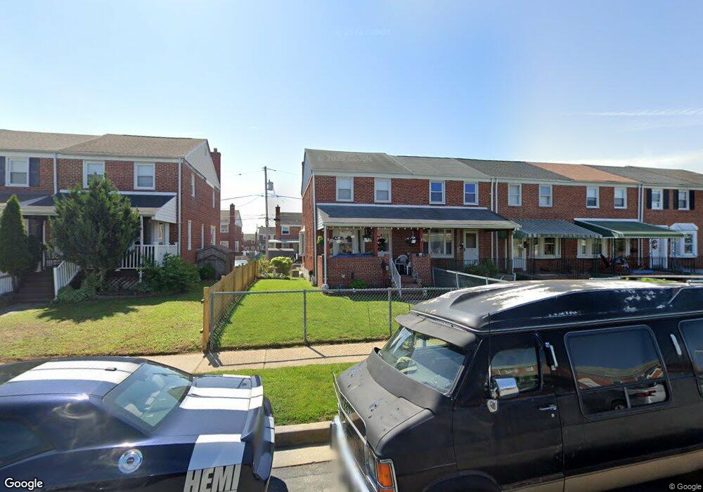
1925 Armco Way Dundalk, MD 21222
Estimated Value: $168,776 - $271,000
Studio
1
Bath
1,152
Sq Ft
$188/Sq Ft
Est. Value
About This Home
This home is located at 1925 Armco Way, Dundalk, MD 21222 and is currently estimated at $216,944, approximately $188 per square foot. 1925 Armco Way is a home located in Baltimore County with nearby schools including Grange Elementary School, General John Stricker Middle School, and Patapsco High & Center for Arts.
Ownership History
Date
Name
Owned For
Owner Type
Purchase Details
Closed on
Nov 19, 2024
Sold by
Myers Byron
Bought by
Myers Cathi L and Lynch Ryan C
Current Estimated Value
Purchase Details
Closed on
Apr 25, 2006
Sold by
Ness Deborah
Bought by
Myers Byron
Home Financials for this Owner
Home Financials are based on the most recent Mortgage that was taken out on this home.
Original Mortgage
$159,000
Interest Rate
6.4%
Mortgage Type
Purchase Money Mortgage
Purchase Details
Closed on
Nov 18, 2005
Sold by
Hillegas William J
Bought by
Ness Deborah
Purchase Details
Closed on
Oct 28, 2005
Sold by
Hillegas William J
Bought by
Ness Deborah
Purchase Details
Closed on
Nov 13, 1995
Sold by
Hillegas William J
Bought by
Hillegas William J
Create a Home Valuation Report for This Property
The Home Valuation Report is an in-depth analysis detailing your home's value as well as a comparison with similar homes in the area
Home Values in the Area
Average Home Value in this Area
Purchase History
| Date | Buyer | Sale Price | Title Company |
|---|---|---|---|
| Myers Cathi L | -- | None Listed On Document | |
| Myers Cathi L | -- | None Listed On Document | |
| Myers Byron | $159,000 | -- | |
| Ness Deborah | $64,597 | -- | |
| Ness Deborah | $64,597 | -- | |
| Hillegas William J | -- | -- |
Source: Public Records
Mortgage History
| Date | Status | Borrower | Loan Amount |
|---|---|---|---|
| Previous Owner | Myers Byron | $159,000 |
Source: Public Records
Tax History
| Year | Tax Paid | Tax Assessment Tax Assessment Total Assessment is a certain percentage of the fair market value that is determined by local assessors to be the total taxable value of land and additions on the property. | Land | Improvement |
|---|---|---|---|---|
| 2025 | $2,509 | $145,700 | -- | -- |
| 2024 | $2,509 | $134,100 | $0 | $0 |
| 2023 | $1,570 | $122,500 | $38,000 | $84,500 |
| 2022 | $2,841 | $121,000 | $0 | $0 |
| 2021 | $2,453 | $119,500 | $0 | $0 |
| 2020 | $2,453 | $118,000 | $38,000 | $80,000 |
| 2019 | $2,332 | $113,933 | $0 | $0 |
| 2018 | $2,103 | $109,867 | $0 | $0 |
| 2017 | $2,079 | $105,800 | $0 | $0 |
| 2016 | $1,887 | $105,800 | $0 | $0 |
| 2015 | $1,887 | $105,800 | $0 | $0 |
| 2014 | $1,887 | $110,300 | $0 | $0 |
Source: Public Records
Map
Nearby Homes
- 7832 Rockbourne Rd
- 1943 Dineen Dr
- 2007 Dineen Dr
- 7807 Rockbourne Rd
- 1614 Lynch Rd
- 1649 Gray Haven Ct
- 60 Del Rio Rd
- 407 Trappe Rd
- 8142 Del Haven Rd
- 2746 Moorgate Rd
- 8137 Mid Haven Rd
- 2738 Moorgate Rd
- 1711 Woodland Dr
- 7718 Trappe Rd
- 2014 Larkhall Rd
- 8146 Gray Haven Rd
- 308 Pinewood Rd
- 2038 Larkhall Rd
- 8137 Park Haven Rd
- 2127 Jasmine Rd
- 1927 Armco Way
- 1929 Armco Way
- 1931 Armco Way
- 1933 Armco Way
- 1923 Armco Way
- 1935 Armco Way
- 1921 Armco Way
- 1919 Armco Way
- 1917 Armco Way
- 1926 Barry Rd
- 1928 Barry Rd
- 1930 Barry Rd
- 1924 Barry Rd
- 1915 Armco Way
- 1932 Barry Rd
- 1922 Barry Rd
- 1934 Barry Rd
- 0 Lynch Rd Unit 1007909294
- 0 Lynch Rd Unit 1007249590
- 0 Lynch Rd Unit BC8622335