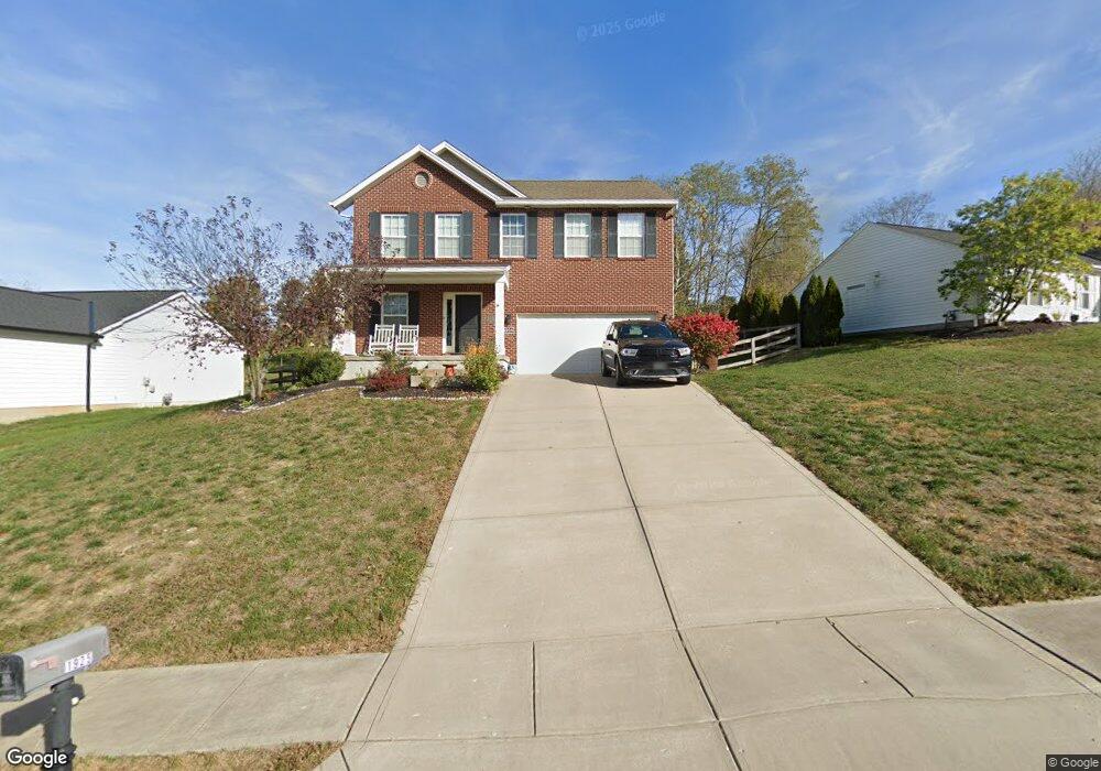
1925 Bridle Path Independence, KY 41051
Estimated Value: $344,000 - $370,000
4
Beds
3
Baths
1,896
Sq Ft
$188/Sq Ft
Est. Value
About This Home
This home is located at 1925 Bridle Path, Independence, KY 41051 and is currently estimated at $355,806, approximately $187 per square foot. 1925 Bridle Path is a home located in Kenton County with nearby schools including Simon Kenton High School and St. Cecilia Catholic School.
Ownership History
Date
Name
Owned For
Owner Type
Purchase Details
Closed on
May 29, 2014
Sold by
Popper Christopher S and Popper Michelle
Bought by
Conlon James and Conlon Andrea
Current Estimated Value
Home Financials for this Owner
Home Financials are based on the most recent Mortgage that was taken out on this home.
Original Mortgage
$176,739
Outstanding Balance
$133,860
Interest Rate
4.32%
Mortgage Type
FHA
Estimated Equity
$221,946
Purchase Details
Closed on
Feb 13, 2013
Sold by
Spille Joseph C and Spille Carolyn M
Bought by
Popper Christopher S
Purchase Details
Closed on
Dec 31, 2007
Sold by
Jtj Development Llc
Bought by
Spille Joseph C and Spille Carolyn M
Create a Home Valuation Report for This Property
The Home Valuation Report is an in-depth analysis detailing your home's value as well as a comparison with similar homes in the area
Home Values in the Area
Average Home Value in this Area
Purchase History
| Date | Buyer | Sale Price | Title Company |
|---|---|---|---|
| Conlon James | $180,000 | Priority National Title Svcs | |
| Popper Christopher S | $43,500 | Kentucky Land Title Agency | |
| Spille Joseph C | -- | None Available |
Source: Public Records
Mortgage History
| Date | Status | Borrower | Loan Amount |
|---|---|---|---|
| Open | Conlon James | $176,739 |
Source: Public Records
Tax History
| Year | Tax Paid | Tax Assessment Tax Assessment Total Assessment is a certain percentage of the fair market value that is determined by local assessors to be the total taxable value of land and additions on the property. | Land | Improvement |
|---|---|---|---|---|
| 2025 | $3,198 | $275,000 | $40,000 | $235,000 |
| 2024 | $2,591 | $211,500 | $35,000 | $176,500 |
| 2023 | $2,669 | $211,500 | $35,000 | $176,500 |
| 2022 | $2,728 | $211,500 | $35,000 | $176,500 |
| 2021 | $2,769 | $211,500 | $35,000 | $176,500 |
| 2020 | $2,417 | $180,000 | $35,000 | $145,000 |
| 2019 | $2,423 | $180,000 | $35,000 | $145,000 |
| 2018 | $2,436 | $180,000 | $35,000 | $145,000 |
| 2017 | $2,370 | $180,000 | $35,000 | $145,000 |
| 2015 | $2,302 | $180,000 | $25,000 | $155,000 |
| 2014 | $2,331 | $185,000 | $25,000 | $160,000 |
Source: Public Records
Map
Nearby Homes
- 1884 Bridle Path
- 4828 Far Hills Dr
- 2072 Crown Vetch Dr
- 1346 Brisbane Ct
- 4758 Fowler Creek Rd
- 10363 Canberra Dr
- 3981 Sherbourne Dr
- 3852 Sherbourne Dr
- 64 Sherwood Dr
- 4358 Siffel Ct
- 9980 Meadow Glen Dr
- 9947 Meadow Glen Dr
- 9971 Meadow Glen Dr
- 1443 Shirepeak Way
- 1376 Meadowcrest Cir
- 472 Independence Station Rd
- 3905 Spire Cir Unit 122G
- 3929 Crestside Ct Unit 126H
- 111 Green Hill Dr
- 46 Waterside Way
- 1925 Bridle Path Unit 14
- 1929 Bridle Path Unit 13
- 1921 Bridle Path
- 4865 Far Hills Dr
- 1933 Bridle Path
- 1920 Bridle Path
- 1913 Bridle Path
- 1916 Bridle Path
- 1916 Bridle Path Unit 22
- 1924 Bridle Path
- 1928 Bridle Path
- 1917 Bridle Path
- 1937 Bridle Path
- 1905 Bridle Path
- 1932 Bridle Path
- 4851 Far Hills Dr
- 1936 Bridle Path
- 4843 Far Hills Dr
- 1901 Bridle Path
- 1912 Bridle Path
Your Personal Tour Guide
Ask me questions while you tour the home.