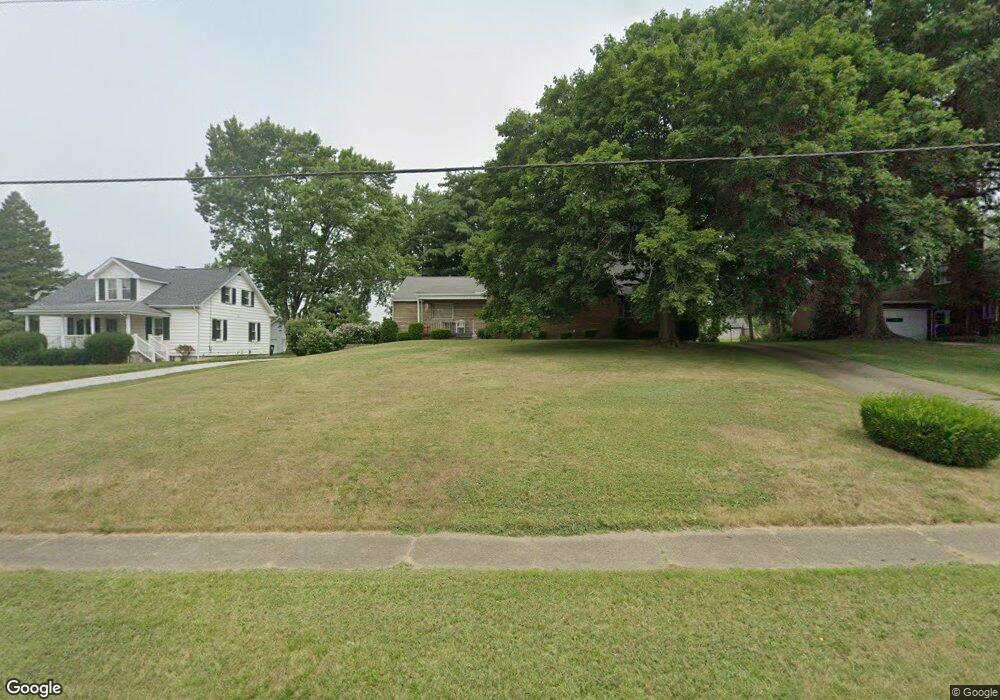
1925 E Main St Louisville, OH 44641
Estimated Value: $216,000 - $276,000
2
Beds
2
Baths
1,791
Sq Ft
$131/Sq Ft
Est. Value
About This Home
This home is located at 1925 E Main St, Louisville, OH 44641 and is currently estimated at $233,781, approximately $130 per square foot. 1925 E Main St is a home located in Stark County with nearby schools including Louisville High School and St. Thomas Aquinas High School & Middle School.
Ownership History
Date
Name
Owned For
Owner Type
Purchase Details
Closed on
May 22, 2008
Sold by
Haidet Leroy J
Bought by
Miller Brian Scott and Miller Christine M
Current Estimated Value
Home Financials for this Owner
Home Financials are based on the most recent Mortgage that was taken out on this home.
Original Mortgage
$99,216
Interest Rate
5.87%
Mortgage Type
FHA
Purchase Details
Closed on
Sep 7, 2005
Sold by
Haidet Wilfrid L
Bought by
Haidet Wilfrid L and Wilfrid L Haidet Revocable Living Trust
Create a Home Valuation Report for This Property
The Home Valuation Report is an in-depth analysis detailing your home's value as well as a comparison with similar homes in the area
Home Values in the Area
Average Home Value in this Area
Purchase History
| Date | Buyer | Sale Price | Title Company |
|---|---|---|---|
| Miller Brian Scott | $100,000 | Attorney | |
| Haidet Wilfrid L | -- | -- |
Source: Public Records
Mortgage History
| Date | Status | Borrower | Loan Amount |
|---|---|---|---|
| Closed | Miller Brian Scott | $99,216 |
Source: Public Records
Tax History
| Year | Tax Paid | Tax Assessment Tax Assessment Total Assessment is a certain percentage of the fair market value that is determined by local assessors to be the total taxable value of land and additions on the property. | Land | Improvement |
|---|---|---|---|---|
| 2025 | -- | $58,770 | $19,320 | $39,450 |
| 2024 | -- | $58,770 | $19,320 | $39,450 |
| 2023 | $1,396 | $41,550 | $12,360 | $29,190 |
| 2022 | $1,419 | $41,550 | $12,360 | $29,190 |
| 2021 | $1,423 | $41,550 | $12,360 | $29,190 |
| 2020 | $1,149 | $37,490 | $11,100 | $26,390 |
| 2019 | $1,154 | $37,990 | $11,940 | $26,050 |
Source: Public Records
Map
Nearby Homes
- 2036 E Main St
- 161 Beau Chemin Ave Unit 6B
- 0 Michigan Blvd
- 1442 Monter Ave
- 780 S Marion Ave
- 1431 High St
- 1024 Washington Ave
- 230 Superior St
- 1090 Century Hill St
- 308 Superior St
- 1010 Washington Ave
- 539 Wells Ave
- 408 E Gorgas St
- 5495 Meese Rd NE
- 210 E Gorgas St
- 316 E Reno Dr
- 280 Kennedy St
- 3390 Meese Rd NE
- 908 Sand Lot Cir
- 1259 Faircliff St
Your Personal Tour Guide
Ask me questions while you tour the home.