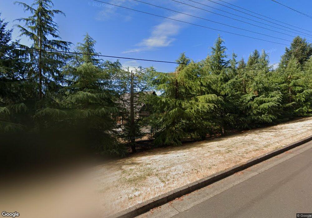
1925 NW Mcdougal Cir Corvallis, OR 97330
Northwest Corvallis NeighborhoodEstimated Value: $1,254,000 - $1,813,157
4
Beds
5
Baths
3,176
Sq Ft
$457/Sq Ft
Est. Value
About This Home
This home is located at 1925 NW Mcdougal Cir, Corvallis, OR 97330 and is currently estimated at $1,451,719, approximately $457 per square foot. 1925 NW Mcdougal Cir is a home with nearby schools including Letitia Carson Elementary School, Cheldelin Middle School, and Crescent Valley High School.
Ownership History
Date
Name
Owned For
Owner Type
Purchase Details
Closed on
Nov 9, 2011
Sold by
Starks Larry A and Starks Sandy L
Bought by
Starks Larry A and Starks Sandra L
Current Estimated Value
Home Financials for this Owner
Home Financials are based on the most recent Mortgage that was taken out on this home.
Original Mortgage
$650,000
Outstanding Balance
$452,231
Interest Rate
3.95%
Mortgage Type
New Conventional
Estimated Equity
$999,488
Purchase Details
Closed on
Jun 16, 2004
Sold by
Frontier Land Co
Bought by
Starks Larry A and Starks Sandy L
Create a Home Valuation Report for This Property
The Home Valuation Report is an in-depth analysis detailing your home's value as well as a comparison with similar homes in the area
Home Values in the Area
Average Home Value in this Area
Purchase History
| Date | Buyer | Sale Price | Title Company |
|---|---|---|---|
| Starks Larry A | -- | Ticor Title | |
| Starks Larry A | $172,000 | Ticor Title |
Source: Public Records
Mortgage History
| Date | Status | Borrower | Loan Amount |
|---|---|---|---|
| Open | Starks Larry A | $650,000 |
Source: Public Records
Tax History Compared to Growth
Tax History
| Year | Tax Paid | Tax Assessment Tax Assessment Total Assessment is a certain percentage of the fair market value that is determined by local assessors to be the total taxable value of land and additions on the property. | Land | Improvement |
|---|---|---|---|---|
| 2024 | $16,414 | $1,083,617 | -- | -- |
| 2023 | $15,455 | $1,052,055 | $0 | $0 |
| 2022 | $15,003 | $1,021,413 | $0 | $0 |
| 2021 | $14,490 | $991,663 | $0 | $0 |
| 2020 | $14,386 | $962,780 | $0 | $0 |
| 2019 | $13,181 | $934,738 | $0 | $0 |
| 2018 | $13,281 | $907,513 | $0 | $0 |
| 2017 | $12,063 | $881,081 | $0 | $0 |
| 2016 | $10,606 | $778,761 | $0 | $0 |
| 2015 | $10,334 | $756,079 | $0 | $0 |
| 2014 | $10,234 | $734,057 | $0 | $0 |
| 2012 | -- | $250,327 | $0 | $0 |
Source: Public Records
Map
Nearby Homes
- 0 NW Lester Ave
- 3079 NW Snowberry Place
- Lot 2 - 3004 Place
- Lot 6 NW Wild Rose Dr
- 3007 NW Angelica Dr
- 2911 NW 13th Place
- 1141 NW Charlemagne Place
- 2024 NW Victory Ave
- 2807 NW Silktassel Ct
- 2034 NW Victory Ave
- 2044 NW Victory Ave
- 3597 NW Goldfinch Place
- 2054 NW Victory Ave
- 970 NW Conifer Blvd
- 2049 NW Century Dr
- 2029 NW Century Dr
- 2059 NW Century Dr
- 2039 NW Century Dr
- 3716 NW Goldfinch Dr
- 3738 NW Goldfinch Dr
- 1771 NW Mcdougal Cir
- 1771 NW Mc Dougal Cir
- 3835 NW Glen Eden Dr
- 3889 NW Glen Eden Dr
- 1863 NW Lester Ave
- 3860 NW Glen Eden Dr
- 1920 NW Mcdougal Cir
- 1609 NW Lester Ave
- 3750 NW Glen Eden Dr
- 3683 NW Glen Eden Dr
- 3922 NW Glen Eden Dr
- 1450 NW Lester Ave
- 1507 NW Highland Dell Dr
- 1900 NW Mc Dougal Cir
- 1900 NW Mcdougal Cir
- 1900 NW Mc Dougal Cir
- 3955 NW Glen Eden Dr
- 0 NE Pettibone (Lot #9) Dr Unit 748873
- 0 NE Pettibone (Lot #9) Dr Unit 737914
- 0 NE Pettibone (Lot #9) Dr Unit 619507
